
tdanielson / Added Videos

The Global Sensor Network – University of South Australia
2.47K Views0 Comments0 Likes
Australia has a combined land and sea territory of more than 8 million square kilometers. Yet most of this is currently out of the reach of affordable communication. Now the University of South Australia's Institute for Telecommunications Research has turned this on its head, with the development of the Global Sensor Network. The Global Sensor Network is an innovative signal processing system which provides low cost, two-way, simultaeneous satellite communications to multiple users.

2017 Be Inspired Awards Project Highlights
2.47K Views0 Comments0 Likes
Several members of the Bentley Systems team discuss the Be Inspired Awards projects from the 2017 Year In Infrastructure event held Oct. 10-12, 2017, in Singapore.

App Aids Satellite Imaging Awareness
2.46K Views0 Comments0 Likes
The V1 Video team interviewed Alex Herz, president of Orbit Logic, at the GEOINT Symposium in Washington, D.C. We talked about the company’s satellite imagery planning and scheduling capabilities as well as its new foray into apps to make satellite imagery more accessible to everyone. The SpyMeSat mobile application lets smartphone users know when imaging satellites are overhead, what their capabilities are, and has recently added tasking so users can order images directly from their phones.
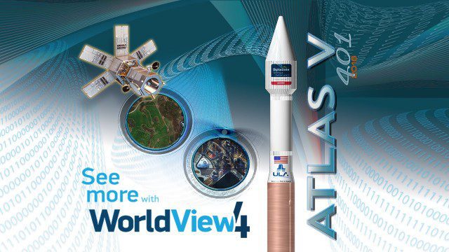
Atlas V WorldView Launch Broadcast Replay
2.46K Views0 Comments0 Likes
Watch a replay as the ULA's Atlas V launches the WorldView-4 launch for DigitalGlobe.
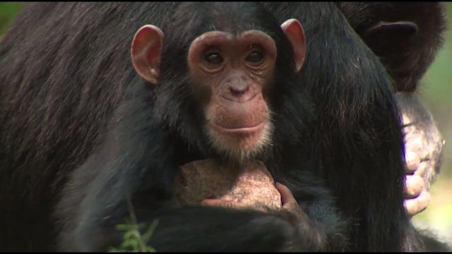
NASA Partners with Jane Goodall Institute to Protect Chimpanzees
2.45K Views0 Comments0 Likes
Data from Landsat satellites, a joint mission of NASA and the U.S. Geological Survey, have been critical to helping the Jane Goodall Institute in their work to protect chimpanzees and their habitat. In this video, Goodall and JGI scientist Lilian Pintea discuss the transformational role of seeing changing habitats from above.
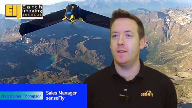
Getting Accurate Results Quickly and Cheaply with Unmanned Aircraft
2.44K Views0 Comments0 Likes
The V1 Video team spoke to Christopher Thompson, the sales manager for senseFly, the manufacturers of fixed-wing and rotary unmanned aircraft systems (UASs) for mapping. We talked about the broad range of applications and some interesting case studies. We also touched on the inspection capabilities of their new eXom rotary platform.
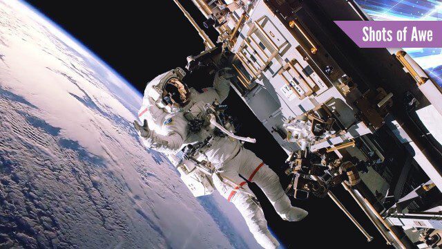
Exploring Space: Cosmic Revolutionaries
2.44K Views0 Comments0 Likes
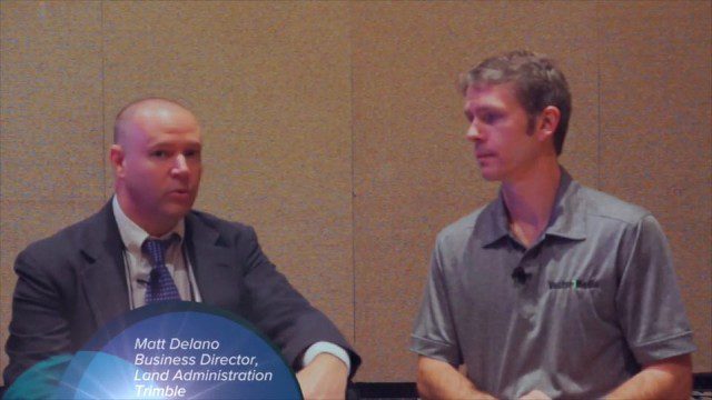
Trimble Dimensions Interview: Matt Delano
2.44K Views0 Comments0 Likes
At Trimble Dimensions 2014 in Las Vegas, V1 Media's Todd Danielson interviews Matt Delano, Business Director, Land Administration, Trimble. They discuss Trimble's overall Land Administration goals and strategy; how a variety of hardware, tools and services are combined to serve the Land Administration market; how personal computing devices are affecting data collection and use; Trimble's embrace of BIM technology; and more.
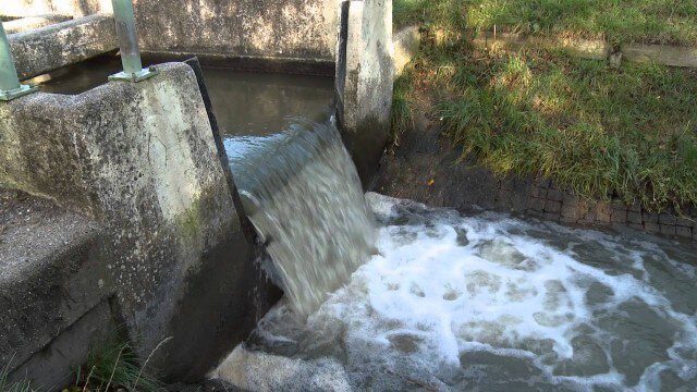
Digital Delta transforms Dutch water system using Big Data
2.43K Views0 Comments0 Likes
This video introduces IBM Smarter Water Management solutions running on IBM Intelligent Water software to address Flood and Natural Resource Management. This solution provides the Dutch Water authorities a breakthrough innovation program to harness insights from Big Data and transform flood control and management of the entire Dutch water system.
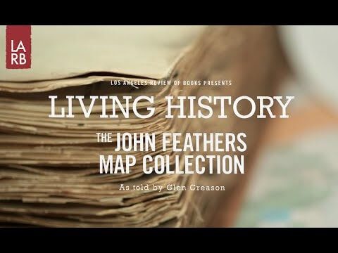
Living History: The John Feathers Map Collection
2.43K Views0 Comments0 Likes
LAPL Map Librarian Glen Creason tells the tale of an amazing hidden map collection that doubled the library's archive in a single day. http://lareviewofbooks.org/av/


