
tdanielson / Added Videos
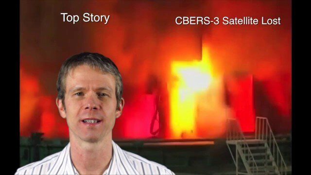
Asia-Pacific Broadcast (Remote-Sensing Satellites, East Asia Agreements, Greenhouse Mapping and More)
8.06K Views1 Comments0 Likes
This GeoSpatial Stream focuses on the Asia-Pacific region. Topics covered include China's failed CBERS-3 remote-sensing satellite, a joint agreement to monitor air pollution, Greenhouse mapping in India, precision agriculture in Australia and more.

GeoSpatial Stream Adds Facebook Page
7.79K Views0 Comments0 Likes
GeoSpatial Stream introduced a new Facebook page at https://www.facebook.com/geospatialstream.

2_12 Roger Tomlinson Broadcast (GeoDesign Summit, Tomlinson Tribute, Landsat 8 and More)
7.75K Views1 Comments0 Likes
This GeoSpatial Stream broadcast discusses Esri's GeoDesign Summit; the recent passing of Roger Tomlinson, "The Father of GIS"; Landsat 8's birthday; climate change and national security; woodland conservation; geospatial gaming technology; and more.

Esri’s Director of Solutions Discusses Apps, Simplicity and Passion
7.55K Views0 Comments0 Likes
Todd Danielson interviews Damian Spangrud, Director of Solutions, Esri, at the 2014 Esri User Conference in San Diego. They discuss what it's like working at Esri, the tools needed to create a public-facing GIS app and "never underestimating how simple things need to be."
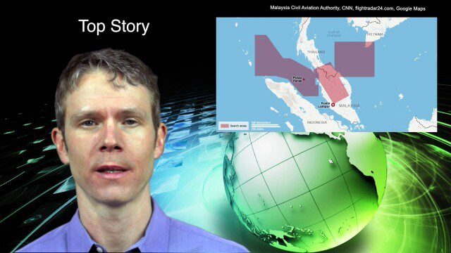
3_18 Asia-Pacific Broadcast (Malaysia Flight 370, “Smog-Busting Drones,” Shark Cameras and More)
7.43K Views0 Comments0 Likes
This Asia-Pacific-focused GeoSpatial Stream broadcast discusses the mysteries of Malaysia Flight 370 and geospatial technology’s role, China’s “War on Pollution” enlisting drone smog fighters, Afghanistan resource maps, a youth GIS contest, and more.
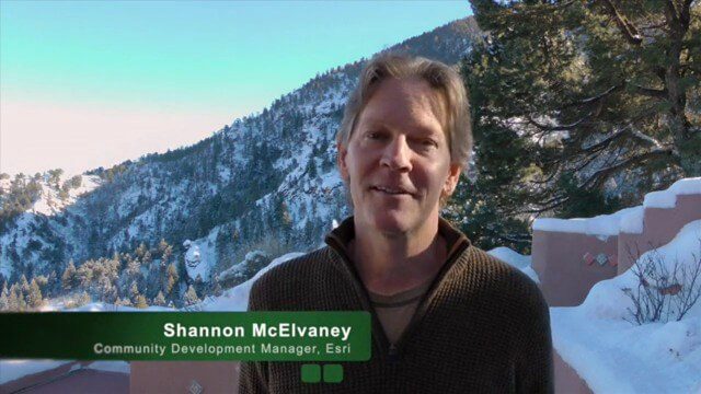
Geodesign Leader Discusses Concepts from “Earthship” Home
7.34K Views2 Comments0 Likes
Shannon McElvaney, Esri's Community Development Manager, spoke with Matt Ball, V1 Media's founder and editorial director, from his "Earthship" home in Colorado Springs, Colo., on Jan. 2., 2015, just weeks before the Geodesign Summit 2015. McElvaney is instrumental in holding the annual summit, and he discusses his thoughts on geodesign and connected construction.

10_15 Earth Imaging Broadcast (Hurricanes, Wildfire Mapping and More)
7.27K Views0 Comments0 Likes
This Earth Imaging-themed GeoSpatial Stream broadcast discusses satellite imagery used to track and understand hurricanes, including the Atlantic's Joaquin and the Pacific's triplet hurricanes of Kilo, Ignacio and Jimena; remote sensing used to map and characterize capuchin monkey habitat; a Re/Code video news story about smallsats helping with wildfires; industry news from MDA, Blue Water Satellite, NASA and Esri; clips from a V1 Media video interview of Patrick Meier, founder of the Humanitarian UAV Network; and more.

Esri’s Geotrigger Service Explained
7.21K Views1 Comments0 Likes
Matt Ball spoke with Amber Case, director of Esri's R&D Center in Portland, at the Local Data Summit in Denver on Feb. 25, 2014. The conversation ranges from accessible geospatial technology, the ubiquity of mobile devices, and the connections that are made with location awareness and location-based alerts.
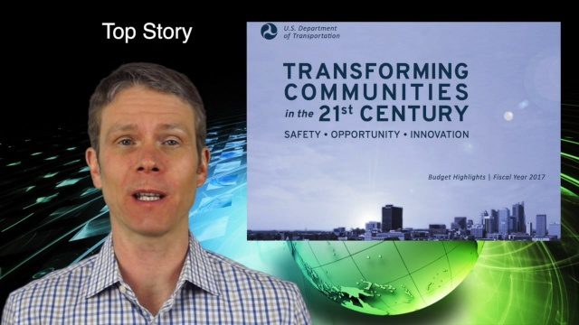
2_11 Infrastructure Broadcast (DOT Budget, Rebuilding Schools and More)
7.00K Views0 Comments0 Likes
This Infrastructure-themed GeoSpatial Stream broadcast discusses the FY2017 U.S. Department of Transportation budget; Los Angeles' new GeoHub; Miyamoto Relief engineering work at schools in Nepal; industry news from Autodesk, Abvent, TerraGo, Cadcorp and Topcon; two new infrastructure posting from V1 Media; and more.
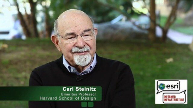
Carl Steinitz Discusses Increased Dangers and Urgency at the Geodesign Summit
6.95K Views0 Comments0 Likes
Carl Steinitz is an Emeritus Professor at the Harvard University Graduate School of Design and one of the true pioneers and visionaries of geodesign, with 50 years of experience. On behalf of V1 Media, Informed Infrastructure and GeoSpatial Stream, Todd Danielson interviewed Steinitz at the Geodesign Summit 2015 in Redlands, Calif.


