
tdanielson / Added Videos
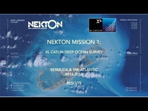
Nekton Mission I – Discovering the Rariphotic Zone
1.37K Views0 Comments0 Likes
Results from Nekton Mission I – the XL Catlin Deep Ocean Survey confirms the discovery of a new zone in the ocean, the Rariphotic Zone (Rare Light Zone) from 130 meters to 300 meters. The Rariphotic Zone is the fourth zone confirmed in the top 3,000 meters of the ocean, each defined by distinct biological communities living at different depths.
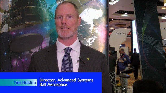
Ball Aerospace Delivers Science-Driven Sensors
2.09K Views0 Comments0 Likes
Ball Aerospace is a unique entity that delivers imaging instruments as well as full satellites, bringing scientists and engineers together to optimize sensor and spacecraft design. Earth Imaging Journal spoke with Tim Holden, director of advanced systems at Ball Aerospace, about sensor development, the commercialization of space and opportunities in remote sensing with increased temporal revisits.
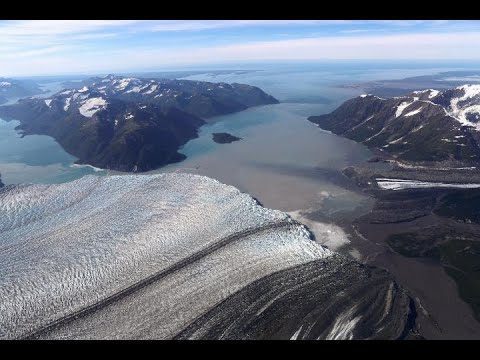
48 Years of Alaska’s Glaciers
887 Views0 Comments0 Likes
New time-lapse videos of Earth’s glaciers and ice sheets as seen from space–spanning nearly 50 years–are providing scientists with new insights into how the planet’s frozen regions are changing.
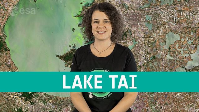
Earth from Space: Lake Tai
664 Views0 Comments0 Likes
In this week's edition of the Earth from Space program, the Copernicus Sentinel-2 mission takes us over the third largest freshwater lake in China.

Tim Lemmon and Todd Steiner Interview (Trimble)
3.23K Views0 Comments0 Likes
Matt Ball interviews Trimble's Tim Lemmon, Marketing Director, Geospatial Software Solutions, and Todd Steiner, Marketing Director, Geospatial Imaging Solutions, at SPAR International in Colorado Springs, Colo. They discuss Trimble's integration between hardware and software so customers can make better business decisions, the changing role of the surveyor, and a variety of new hardware and software products.
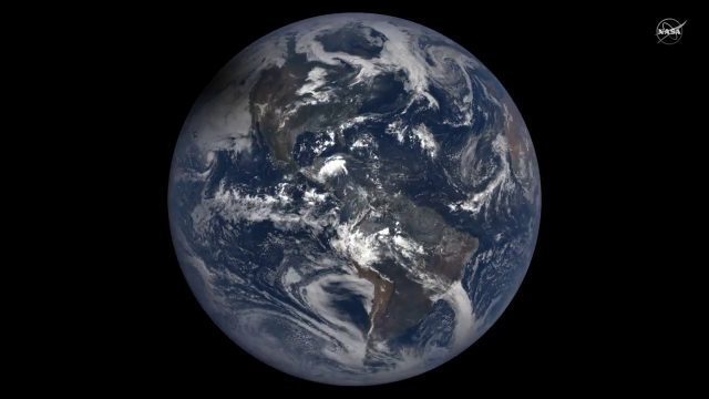
2017 Solar Eclipse Shadow Seen from Million Miles Away
5.22K Views0 Comments0 Likes
The moon's shadow (umbra) crossed the continental United States on Aug. 21, 2017 and NASA's DSCOVR satellite's Earth Polychromatic Imaging Camera (EPIC) captured imagery.
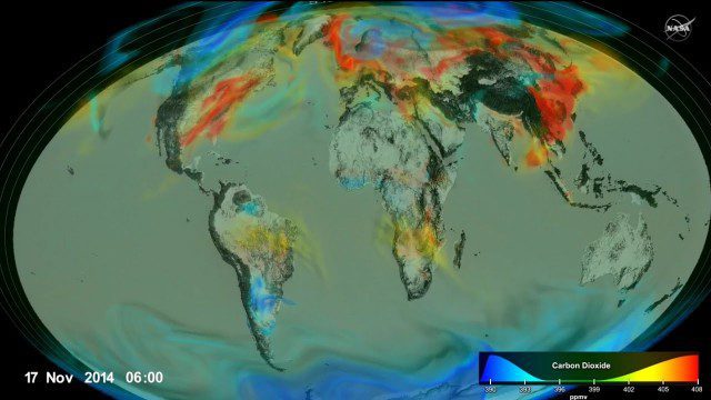
Following Carbon Dioxide Through the Atmosphere
1.30K Views0 Comments0 Likes
Using observations from NASA's Orbiting Carbon Observatory (OCO-2) satellite, scientists developed a model of the behavior of carbon in the atmosphere.
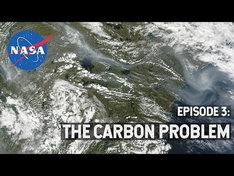
NASA Explorers S3 E3: The Carbon Problem
533 Views0 Comments0 Likes
In the Arctic, fires are a natural part of the ecosystem. But as the climate changes, fires are burning longer and hotter, releasing long-buried carbon from the soil.

GeoSpatial Stream Adds Facebook Page
7.79K Views0 Comments0 Likes
GeoSpatial Stream introduced a new Facebook page at https://www.facebook.com/geospatialstream.
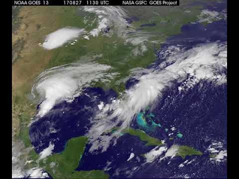
Satellite Animation Shows Harvey Moving into Gulf
5.15K Views0 Comments0 Likes
This animation of NOAA's GOES East satellite imagery from 9:15 a.m. CDT, Aug. 26, 2017, to 9:30 a.m. CDT, Aug. 28, 2017, shows Hurricane Harvey transitioning to a tropical storm at 1 p.m. CDT on Aug. 26, 2017, and slowly emerging in the Gulf of Mexico on Aug. 28.


