
tdanielson / Added Videos
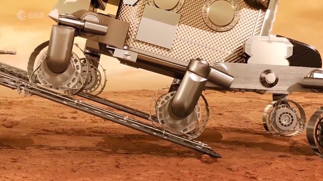
ExoMars – A Promising Future
1.35K Views0 Comments0 Likes
2016 has been an eventful and promising year for ESA’s ExoMars mission. After successfully placing the Trace Gas Orbiter into Mars’ orbit on Oct. 19, the orbiter has sent back its first images, tested its instruments and performed in orbit calibration measurements and health checks.

Exploring InfraWorks Vegas Style! Event (Short Version)
5.82K Views0 Comments0 Likes
This video is a short trailer of the full video recapping the Exploring InfraWorks (Vegas Style!) event that took place during Autodesk University 2013. A bus trip explored the use of Autodesk technology to model the infrastructure of the city of Las Vegas. VTN Consulting is the main contractor on the project.
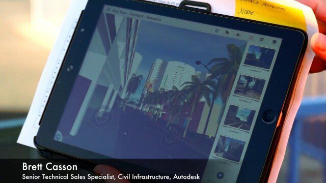
Exploring InfraWorks, Vegas Style Event (Full-Length Version)
3.29K Views0 Comments0 Likes
This full-length video summarizes the Exploring InfraWorks, Vegas Style event that took place during Autodesk University on Dec. 4, 2014. A bus trip explored the use of Autodesk technology to model the infrastructure of the city of Las Vegas. VTN Consulting is the main contractor on the project.
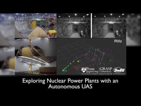
Exploring Nuclear Power Plants via UAS
1.12K Views0 Comments0 Likes
Southwest Research Institute and the University of Pennsylvania are developing UAS technology to fly into the containment vessels of the damaged units at Japan’s Fukushima Daiichi nuclear power station and assess conditions.
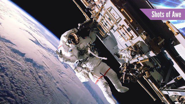
Exploring Space: Cosmic Revolutionaries
2.44K Views0 Comments0 Likes
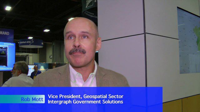
Extending Geospatial Capabilities to Support Government Missions
2.32K Views0 Comments0 Likes
The V1 Video team interviewed Rob Mott, vice president, Geospatial Sector, Intergraph Government Solutions, at the GEOINT Symposium in Washington, D.C. We spoke about the geospatial technological advancements, and how it is becoming more mission critical due to being more accessible and reliable. Intergraph is embracing new sensor platforms, Big Data analytics, and harnessing the cloud to ease integration and exploit geospatial information.
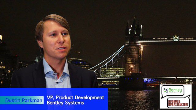
Factoring in Project Costs During Design
3.17K Views0 Comments0 Likes
The V1 Video team interviewed Dustin Parkman at the 2015 Bentley Year in Infrastructure Conference in London in early November. Parkman, vice president of product development at Bentley Systems for their road, rail and site products, spoke about the company's new OpenRoads ConceptStation software with a focus on some of the unique benefits.
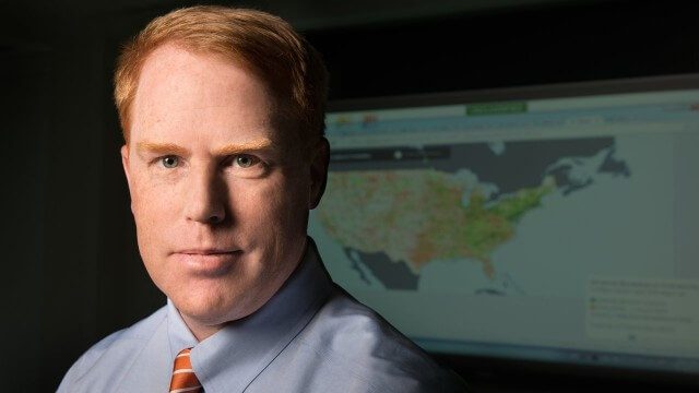
FCC Geographer Byrne Receives Medal for National Broadband Map
2.60K Views0 Comments0 Likes
As the FCC’s geographic information officer, Michael Byrne helped create online maps and present data in ways that have made enormous amounts of information instantly available to consumers, citizen-activists and policymakers, and provided the business community with facts to make more informed commercial decisions.
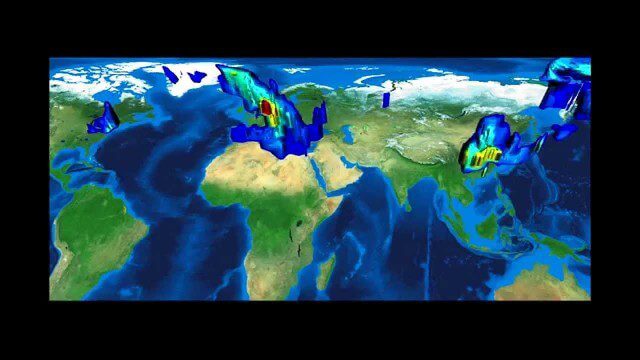
FFDAS Carbon Dioxide Emissions
4.20K Views0 Comments0 Likes
This video provides an overview of the Fossil Fuel Data Assimilation System (FFDAS). This system quantifies fossil fuel CO2 emissions for the whole planet at 10 km every hour for the 1997 to 2011 time period. We show both the fluxes of FFCO2 leaving the planet's surface and the realization of those fluxes in the atmosphere using an atmospheric transport simulation.
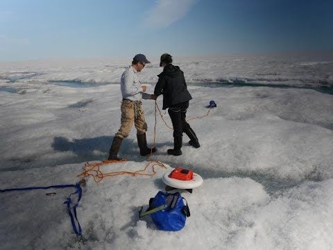
Field Study Sheds New Light on Melt Zone
353 Views0 Comments0 Likes
Five years after a NASA-funded field study returned to to set up camp once again in the melt zone of the Greenland Ice Sheet, a new study adds to the rich findings from this innovative project.


