
tdanielson / Added Videos
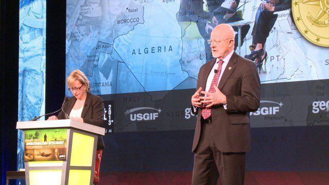
GEOINT Keynote: James Clapper, Director of National Intelligence (Part 4/Q&A)
2.89K Views0 Comments0 Likes
Part 4 of the GEOINT Symposium keynote address from James Clapper, Director of National Intelligence, completing the Q&A session.

7_1 Drones Broadcast (SPOT 7, Minerals Cadastre and More)
3.43K Views0 Comments0 Likes
This GeoSpatial Stream broadcast discusses the banning of drones from U.S. National Parks; the launch of SPOT 7; a Tanzanian effort to improve its mining cadastre; the first private Russian remote-sensing satellite; industry news from IMAGINiT Technologies, GeoVille, CartoDB, Esri and Boundless; an article in Sensors & Systems; and more.
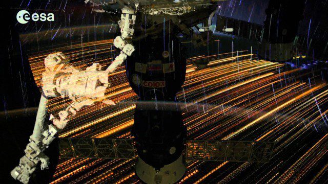
Earth Images from ESA Astronaut Alexander Gerst
3.07K Views0 Comments0 Likes
This timelapse video was made from images taken by ESA astronaut Alexander Gerst orbiting Earth on the International Space Station. The video is offered in Ultra High Definition, the highest available to consumers. Be sure to change the settings in YouTube if your computer or television can handle it for the full effect. The montage is made from a long sequence of still photographs taken at a resolution of 4256 x 2832 pixels at a rate of one every second. The high resolution allowed the ESA production team to create a 3840 x 2160 pixel movie, also known as Ultra HD or 4K. Playing these sequences at 25 frames per second, the film runs 25 times faster than it looks for the astronauts in space. The artistic effects of the light trails from stars and cities at night are created by superimposing the individual images and fading them out slowly. Alexander Gerst is a member of the International Space Station Expedition 40 crew. He is spending five and a half months living and working on the ISS for his Blue Dot mission.
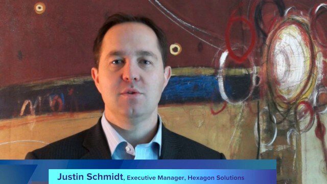
Hexagon’s Schmidt Discusses Water Solutions
2.95K Views0 Comments0 Likes
Todd Danielson interviews Justin Schmidt, Executive Manager, Hexagon Solutions, at the HxGN LIVE event in Las Vegas, Nevada. They discuss the Hexagon Smart H2O Solution (the foundation for Hexagon Solutions), complete water systems and their challenges, dam monitoring and failures, and more.

Geodesign Summit 2015: Attendee Feedback
5.23K Views0 Comments0 Likes
The Geodesign Summit 2015 featured a variety of speakers and topics focused on designing a better and smarter built environment. This video produced by GeoSpatial Stream presents immediate feedback from attendees describing what geodesign means to them and how they plan to apply what they learned at the event to their jobs and lives.

Capturing the Iconic Red Rocks Park and Amphitheater
9.96K Views1 Comments0 Likes
The V1 Video Team made a site visit to Red Rocks Amphitheater and Park to capture video interviews and witness an ambitious drone-based reality-capture exercise to photograph and model the mountain park. The visualization team from engineering firm Kimley-Horn captured the area for the City and County of Denver, which owns and maintains the park. Autodesk and its partner 3D Robotics were on hand to demo their collaboration on SiteScan, which creates an automated workflow from drone capture to use within Autodesk’s modeling software. The mission had many purposes, including historical archiving of the park, modeling stormwater erosion, tracking trail maintenance, and building acoustics and lighting models for the amphitheater.
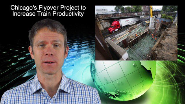
10_30 Infrastructure Broadcast (Green Buildings, Bridge Construction and More)
4.35K Views0 Comments0 Likes
This GeoSpatial Stream broadcast discusses infrastructure news and videos, including a report on Green Buildings; the new Englewood Flyover train project in Chicago; a smart traffic-light network; accelerated bridge construction in Rhode Island; industry news from Esri Canada, Innovyze, Maptek and Autodesk; the upcoming Trimble Dimensions conference in Las Vegas; and more.
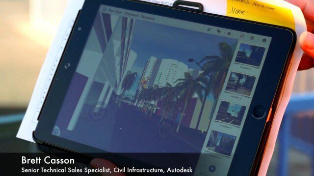
Exploring InfraWorks, Vegas Style Event (Full-Length Version)
3.29K Views0 Comments0 Likes
This full-length video summarizes the Exploring InfraWorks, Vegas Style event that took place during Autodesk University on Dec. 4, 2014. A bus trip explored the use of Autodesk technology to model the infrastructure of the city of Las Vegas. VTN Consulting is the main contractor on the project.
Intergraph Integrates Public-Safety Technology
3.01K Views0 Comments0 Likes
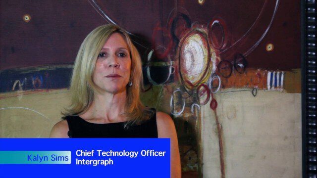
V1 Media and GeoSpatial Stream attended HxGN Live, Hexagon's annual user conference, at the MGM Grand in Las Vegas from June 1-4, 2015. They interviewed Kalyn Sims, Chief Technology Officer at Intergraph, who discussed modern computer-aided dispatch, Intergraph's public-safety technology ecosystem, Big Data challenges, evolving patrol work and the rise of UAVs.

GeoSpatial Stream Adds Facebook Page
7.79K Views0 Comments0 Likes
GeoSpatial Stream introduced a new Facebook page at https://www.facebook.com/geospatialstream.


