
tdanielson / Added Videos

4_30 Earthquake Broadcast (Nepal Mapping, Drone Video and More)
9.52K Views0 Comments0 Likes
This GeoSpatial Stream broadcast focuses entirely on the Nepal earthquake of April 25, 2015, that killed more than 5,000 people. News and video cover the scope of the destruction; how governments and relief organizations are helping through mapping; industry aid from Esri, DigitalGlobe and Airbus Defence & Space; an article on how Nepal was mapped in 48 hours; a video of the Mt. Everest avalanche; and more.
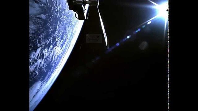
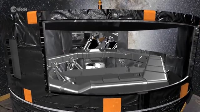
TechDemoSat-1 in Orbit Video
1.81K Views0 Comments0 Likes
Video taken in-orbit on 8 July 2014 using an inspection camera on-board the TechDemoSat-1 satellite starting about 30 seconds after separation from the launcher. At 6 seconds the Sun appears at the top of the frame as a very bright white flare, before the rotation of the satellite reveals a view of Earth below, of the Pacific Ocean south of French Polynesia.
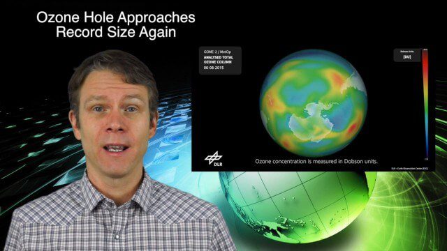
11_12 Climate Change Broadcast (Free Training, Ozone Hole and More)
6.21K Views0 Comments0 Likes
This GeoSpatial Stream broadcast discusses several issues related to climate change, including a new free course that discusses how to use Earth observation satellites to monitor climate change; the growing ozone hole over Antarctica; a study suggesting more flooding and droughts for California; industry news from TerraGo, Esri, Microsoft, Blue Marble and SimActive; video of humanitarian UAV training in Nepal; and more.
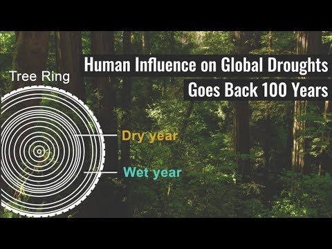
Human Influence on Global Droughts Goes Back 100 Years
792 Views0 Comments0 Likes
Human-generated greenhouse gases and atmospheric particles were affecting global drought risk as far back as the early 20th century, according to a study from NASA's Goddard Institute for Space Studies (GISS) in New York City.
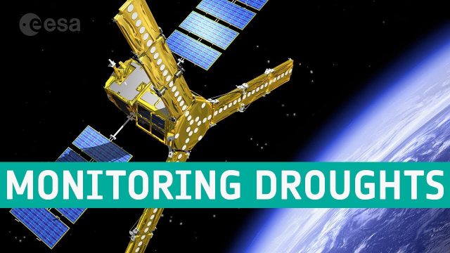
SMOS Monitoring Droughts
634 Views0 Comments0 Likes
With drought seemingly more commonplace, entrepreneurs are using information on soil moisture from SMOS and data from other satellites to generate commercial data products for the insurance market, ultimately bringing benefits to farmers.
First Data from ESA’s Gaia Mission
1.45K Views0 Comments0 Likes
The first intermediate data release, containing, among other things, three-dimensional positions and two dimensional motions of a subset of two million stars, demonstrates that Gaia’s measurements are as precise as planned, paving the way to create the full map of one billion stars to be released towards the end of 2017.
6_16 Infrastructure Broadcast (PDH Credit, HxGN Live and More)
2.49K Views0 Comments0 Likes
This Infrastructure-themed GeoSpatial Stream broadcast discusses the latest issue of Informed Infrastructure, including an article on Treasure Island bridge design, PDH credit for an Autodesk benchmark study, and new Web site features and interviews; video clips from the recent HxGN Live event covering Hexagon's latest technologies and direction; industry news from Hexagon, CINTEC America, Contech Engineered Solutions and CoreLogic; thoughts on an upcoming road trip across America's infrastructure; and more.
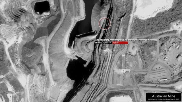
Skybox Imaging Captures World’s First High-Resolution, HD Video of Earth from Space
3.60K Views0 Comments0 Likes
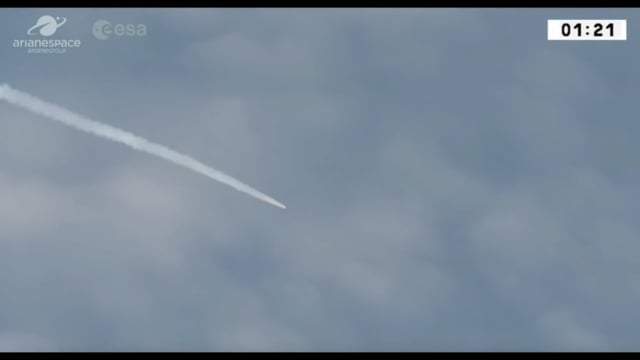
Aeolus Liftoff Replay
875 Views0 Comments0 Likes
ESA’s Earth Explorer Aeolus satellite lifted off on a Vega rocket from Europe’s Spaceport in Kourou, French Guiana, on Aug. 22, 2018.
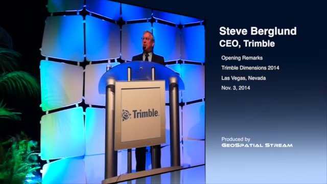
CEO Berglund Opens Trimble Dimensions 2014
2.65K Views0 Comments0 Likes
Trimble CEO Steve Berglund kicked off the company's biannual event, Trimble Dimensions 2014, with some opening comments about the company's growth and direction.


