
tdanielson / Added Videos
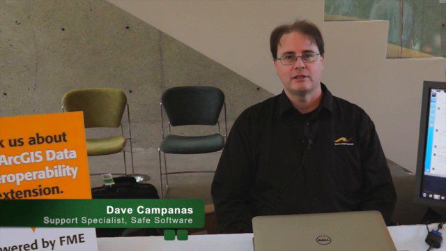
Safe Software Bringing Data Translation to Geodesign
3.31K Views0 Comments0 Likes
Safe Software is the maker of FME and a global leader in spatial data transformation technology. On behalf of V1 Media, Informed Infrastructure and GeoSpatial Stream, Todd Danielson interviewed Dave Campanas, software support specialist at Safe Software, at the Geodesign Summit 2015 in Redlands, Calif.
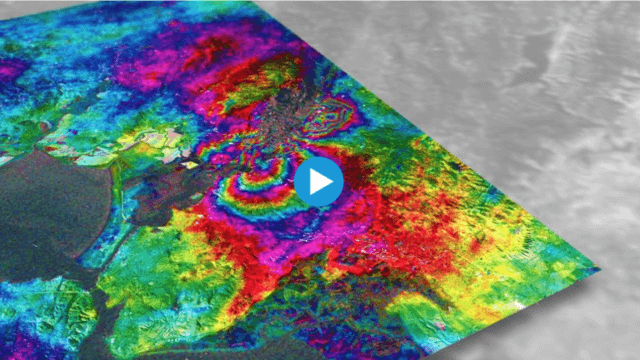
Earthquake Monitoring with Radar Satellites
2.25K Views0 Comments0 Likes
Radar satellite missions can measure millimetre-scale changes in Earth’s surface following an earthquake. On 24 August 2014, an earthquake struck California’s Napa Valley. By processing two images from the Sentinel-1A radar satellite, which were acquired on 7 August and 31 August 2014 over this wine-producing region, an 'interferogram' was generated showing ground deformation.
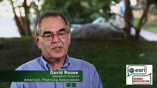
David Rouse Discusses Sustainable Places at the Geodesign Summit
5.46K Views0 Comments0 Likes
David Rouse, Research Director for the American Planning Association (APA), oversees the Planning Advisory Service and the three National Centers for Planning (Green Communities, Hazards Planning, and Planning and Community Health). On behalf of V1 Media, Informed Infrastructure and GeoSpatial Stream, Todd Danielson interviewed Rouse at the Geodesign Summit 2015 in Redlands, Calif.
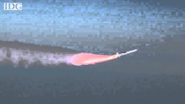
How DARPA Is Planning Fast, Cheap Satellite Launches
2.20K Views0 Comments0 Likes
Called the Airborne Launch Assist Space Access or ALASA program, it would be able to send satellites weighing 100 pounds or less into low-Earth orbit within 24 hours for less than $1 million per launch.
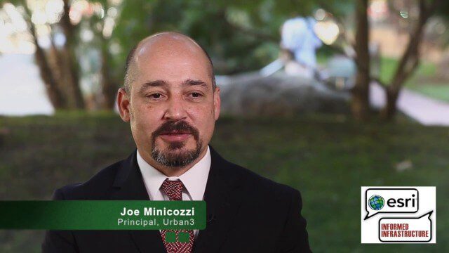
Joe Minicozzi Underscores Financial Consequences at the Geodesign Summit
5.38K Views0 Comments0 Likes
Joe Minicozzi is the principal of the econometric consulting firm Urban3 (U3), which looks at the financial aspects and consequences of urban design choices. On behalf of V1 Media, Informed Infrastructure and GeoSpatial Stream, Todd Danielson interviewed Minicozzi at the Geodesign Summit 2015 in Redlands, Calif.
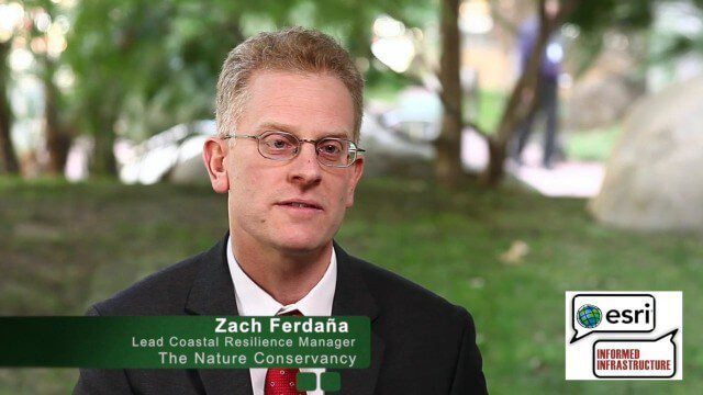
The Nature Conservancy’s Zach Ferdaña and Coastal Resilience at the Geodesign Summit
5.63K Views0 Comments0 Likes
Zach Ferdaña is Lead Coastal Resilience Manager at The Nature Conservancy. The Coastal Resilience program is an array of projects using online decision support tools to promote the role of coastal habitats in hazard mitigation, restoration and resilience planning. On behalf of V1 Media, Informed Infrastructure and GeoSpatial Stream, Todd Danielson interviewed Ferdaña at the Geodesign Summit 2015 in Redlands, Calif.
3_5 Earth Imaging Broadcast (DigitalGlobe, LiDAR and More)
4.76K Views0 Comments0 Likes
This GeoSpatial Stream broadcast discusses the public release of 30-centimeter-resolution satellite imagery from DigitalGlobe and the company's partnership with the United Nations; the National Ecological Observation Network's new LiDAR data; an award for the Orion Space mission; industry news from exactEarth, Esri, Google, and the U.S. EPA and NOAA; a recap of the recent International LiDAR Mapping Forum in Denver; and more.
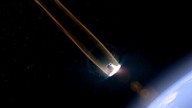
Orion: Trial By Fire
2.10K Views0 Comments0 Likes
NASA’s newest spacecraft, Orion, will be launching into space for the first time in December 2014, on a flight that will take it farther than any spacecraft built to carry humans has gone in more than 40 years and through temperatures twice as hot as molten lava to put its critical systems to the test.
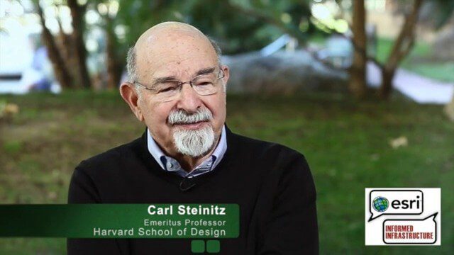
Carl Steinitz Discusses Increased Dangers and Urgency at the Geodesign Summit
6.95K Views0 Comments0 Likes
Carl Steinitz is an Emeritus Professor at the Harvard University Graduate School of Design and one of the true pioneers and visionaries of geodesign, with 50 years of experience. On behalf of V1 Media, Informed Infrastructure and GeoSpatial Stream, Todd Danielson interviewed Steinitz at the Geodesign Summit 2015 in Redlands, Calif.
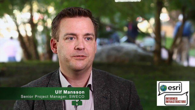
Ulf Mansson Moving Geodata to Minecraft
4.72K Views0 Comments0 Likes
Ulf Mansson, senior project manager for SWECO, has more than 20 years of experience in the geospatial industry. In 2013, he invented a method to stream geodata into the game Minecraft. On behalf of V1 Media, Informed Infrastructure and GeoSpatial Stream, Todd Danielson interviewed Mansson at the Geodesign Summit 2015 in Redlands, Calif.


