
tdanielson / Added Videos
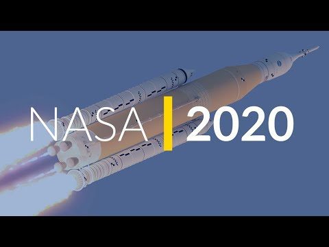
NASA 2020: Are You Ready?
597 Views0 Comments0 Likes
Launching Americans from U.S. soil, sending a new rover to Mars and continuing to prepare for human missions to the Moon are just a few of the things NASA has planned for 2020.
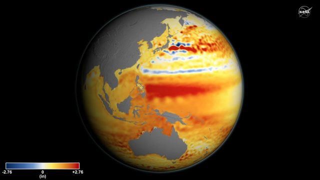
Sea Level Rise Accelerates Over Time
3.99K Views0 Comments0 Likes
Global sea level rise is accelerating incrementally over time rather than increasing at a steady rate, as previously thought, according to a new study based on 25 years of NASA and European satellite data.
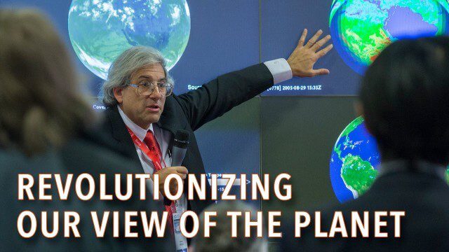
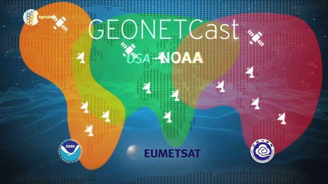
How Satellites Have Revolutionized Our Understanding of Our Home Planet
2.31K Views0 Comments0 Likes

600 km Above Earth’s Surface with HD Video (Skybox Imaging)
5.74K Views0 Comments0 Likes
The Polar Vortex Explained in 2 Minutes
2.11K Views0 Comments0 Likes
4_8 Precision-Agriculture Broadcast (Food and Fluorescence, Sentinel Launch, and More)
4.05K Views0 Comments0 Likes
This GeoSpatial Stream broadcast discusses how food production can be tracked via satellites; the launch of Sentinel-1A; maps of extractive industries and agriculture in Peru and Ghana; a satellite competition; industry news from URISA, Ordnance Survey, Open Geospatial Consortium and Leica Geosystems; and more.
Keith Masback Interview (USGIF CEO at GEOINT)
2.98K Views0 Comments0 Likes
Todd Danielson interviews Keith Masback, CEO of the U.S. Geospatial Intelligence Foundation (USGIF), at the GEOINT Symposium in Tampa, Florida. They discuss highlights of the event, the effect of the show's unexpected delay from fall 2013 to spring 2014 and what has changed since then, where and when the next event will be held, how technologies start at GEOINT and "trickle down" into the larger industry, industry integration, the wide range of companies in attendance, and more.
The Bentley Mission and Tools to Get There
3.78K Views0 Comments0 Likes
The V1 Video team interviewed Bhupinder Singh at the 2015 Bentley Year in Infrastructure Conference in London in early November. Singh, senior vice president of products for Bentley Software, spoke about how Bentley solutions are geared to create better-performing assets, its engineering content-management platform and details about Bentley Connect.
How to Save Time and Money When Processing Geospatial Imagery
3.70K Views0 Comments0 Likes
Are you overwhelmed by GIS data, and wish you had more time and processing power? Then check out this video from LizardTech that shows the benefits of GeoExpress, which helps geospatial professionals save time and money by compressing and manipulating satellite and aerial imagery.
GEOSS Functions and Main Components
2.05K Views0 Comments0 Likes
Infrastructure and Data: The Global Earth Observation System of Systems (GEOSS) functions and main components, sustainability, user access and benefits.


