
tdanielson / Added Videos
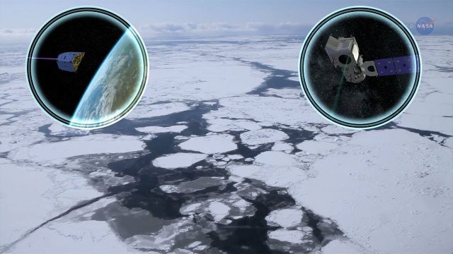
Cool Ways of Studying the Cryosphere
870 Views0 Comments0 Likes
NASA missions are helping scientists study the cryosphere: the many forms of ice found on Earth.
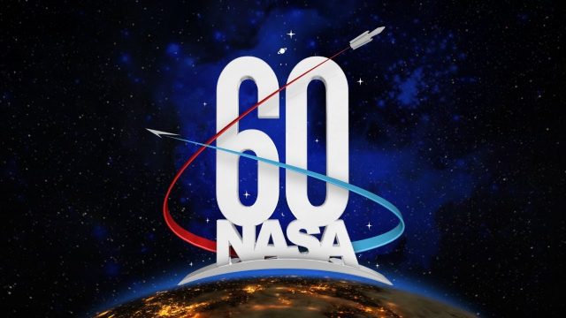
NASA: 60 Years in 60 Seconds
852 Views0 Comments0 Likes
Congress passed the National Aeronautics and Space Act, on July 16 and President Eisenhower signed it into law on July 29, 1958.
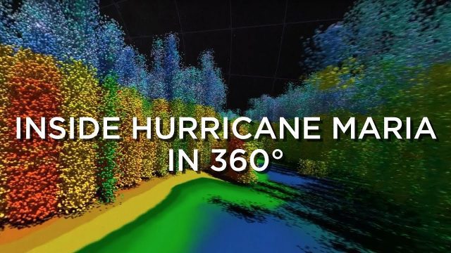
Inside Hurricane Maria in 360°
830 Views0 Comments0 Likes
Two days before Hurricane Maria devastated Puerto Rico, the NASA-Japan Global Precipitation Measurement Core Observatory satellite captured a 3-D view of the storm.
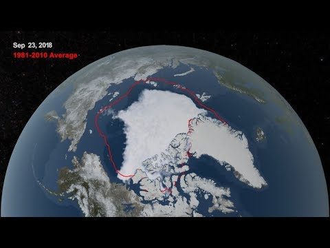
2018 Arctic Sea Ice Ties for Sixth Lowest Minimum Extent on NASA Record
773 Views0 Comments0 Likes
Arctic sea ice reached its annual minimum extent Sept. 19, and then again on Sept. 23, 2018. NASA works with the National Snow and Ice Data Center to track sea ice in the Arctic as it grows to a maximum extent thro...

Corridor Mapping in Germany
798 Views0 Comments0 Likes
Above Highway A33, the mdMapper1000DG was tasked with creating a point cloud and orthophoto of a 12 kilometer stretch of the Autobahn.
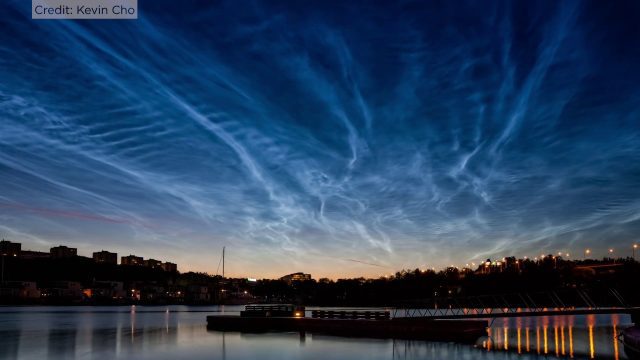
Rare Electric Blue Clouds Observed by NASA Balloon
870 Views0 Comments0 Likes
On the cusp of our atmosphere live a thin group of seasonal electric blue clouds. Forming fifty miles above the poles in summer, these clouds are known as noctilucent clouds or polar mesospheric clouds.
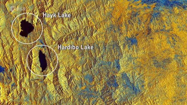
Earth from Space: Northeast Ethiopia
856 Views0 Comments0 Likes
In this week's Earth from Space from the ESA Web TV studios, the Copernicus Sentinel-1B satellite takes us over Northeast Ethiopia.
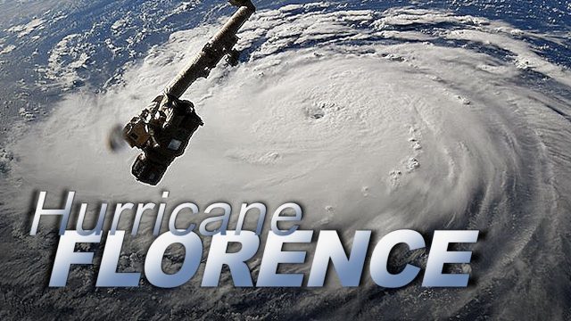
Dramatic Views of Hurricane Florence
808 Views0 Comments0 Likes
Cameras outside the International Space Station captured dramatic views of rapidly strengthening Hurricane Florence at 8:10 a.m. EDT Sept. 10 as it moved in a westerly direction across the Atlantic, headed for a likely landfall along the eastern seaboard of the U.S. late Thursday or early Friday.
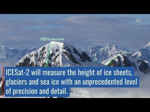
ICESat-2 Adds Third Dimension to Earth
979 Views0 Comments0 Likes
ICESat-2 will provide scientists with height measurements that create a global portrait of Earth's third dimension, gathering data that can precisely track changes of terrain including glaciers, sea ice, forests and more.
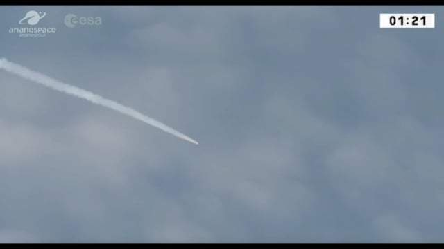
Aeolus Liftoff Replay
875 Views0 Comments0 Likes
ESA’s Earth Explorer Aeolus satellite lifted off on a Vega rocket from Europe’s Spaceport in Kourou, French Guiana, on Aug. 22, 2018.


