
tdanielson / Added Videos
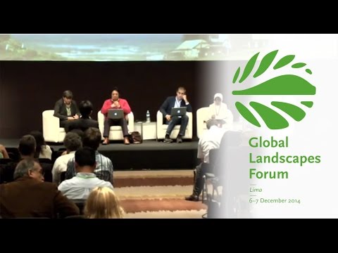
Making Forest Information Systems Work for REDD+ and Beyond
1.89K Views0 Comments0 Likes
Watch this discussion forum from the second day of the Global Landscapes Forum 2014, in Lima, Peru, during COP20. More and more countries have established and institutionalized sustainable, long-term and multi-purpose information systems in the context of REDD+ to support well-informed national policy formulation and decision making at different levels, and to meet national and international reporting needs. This panel discusses if they are used beyond estimating carbon stocks, how they improve global estimates and information, and how they can be most cost effective.
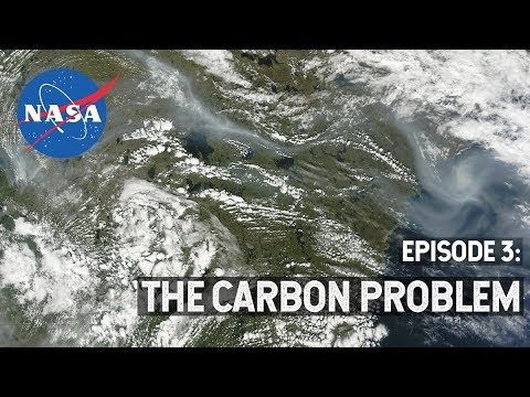
NASA Explorers S3 E3: The Carbon Problem
533 Views0 Comments0 Likes
In the Arctic, fires are a natural part of the ecosystem. But as the climate changes, fires are burning longer and hotter, releasing long-buried carbon from the soil.
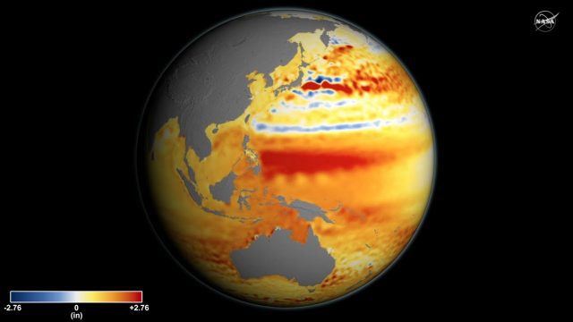
Sea Level Rise Accelerates Over Time
3.99K Views0 Comments0 Likes
Global sea level rise is accelerating incrementally over time rather than increasing at a steady rate, as previously thought, according to a new study based on 25 years of NASA and European satellite data.

Autodesk Investing in the Future of Civil Infrastructure
3.54K Views0 Comments0 Likes
The V1 Video team was at Autodesk University 2015 in Las Vegas and interviewed Terry Bennett, Senior Industry Strategist, Civil Infrastructure, Autodesk. He discussed his role in analyzing future trends, what cities need to become truly "Smart Cities," the benefits of accurate 3D modeling, and getting specific about how projects "will impact me."
Google Geospatial Technologist Talks Trends
1.53K Views0 Comments0 Likes
INTERGEO TV interviews Ed Parsons, geospatial technologist at Google, about his thoughts on the future of the map and related technology.
Weather Forecasts Will Remain Reliable, Even with Climate Change
1.96K Views0 Comments0 Likes
Anthony Lupo, professor of atmospheric science at MU, found that even as carbon dioxide levels create a warmer climate, experts will still be able to predict weather patterns accurately.
V1 Media Video Services
4.48K Views0 Comments0 Likes
This video describes V1 Media's professional and inexpensive video services and how they can help your business succeed. It provides samples of video interviews, product and service commercials, event recaps and promotions, project showcases, and more.

Map Survey (1965)
2.56K Views0 Comments0 Likes
"Britain is the world's greatest map making country" announces the narrator. Various shots of maps being crafted. Large optical devices are used - a camera "as big as a fair sized room" is used to take photographs of the maps. We are at the Ordnance Survey Commission headquarters. Various shots of technicians looking at the large photographs.
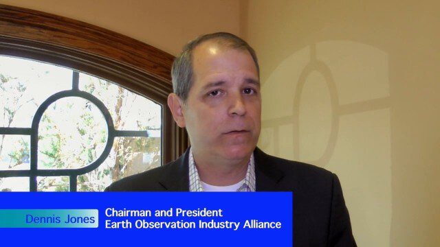
Earth Observation Industry Alliance Looks Forward to Further Proliferation
1.97K Views0 Comments0 Likes
The Earth Observation Industry Alliance (EOIA) was at the International Space Symposium talking to commercial space companies about the future of Earth observation. Earth Imaging Journal spoke with Dennis Jones, chairman and president of EOIA, about the outlook for Earth observation. The goals are to promote favorable policy, a corresponding regulatory environment that's less restricting and more supportive of new companies, and a larger government budget to support observation missions.
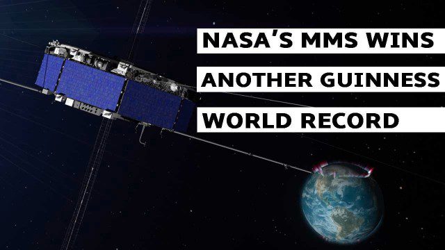
NASA’s MMS Satellite Breaks World GPS Record
1.38K Views0 Comments0 Likes
NASA's MMS mission now holds the Guinness World Record for highest altitude GPS fix: 43,500 miles above Earth’s surface.


