
tdanielson / Added Videos
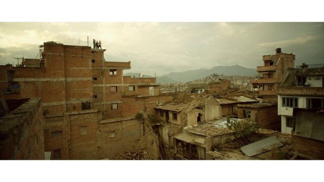
Crisis Mapping in Nepal
1.87K Views0 Comments0 Likes
On the 25th of April, Nepal was hit by the worst earthquake the small, mountainous country had ever seen. Leaving thousands dead and hundreds of thousands displaced, the Ghorka Earthquake as it would become known, uprooted not only cities and villages, but homes and families that had existed in the mountains for centuries. So what could we do to help? Teaming up with with Humanitarian UAV Network “UAViators”, Open Street Map specialists “Kathmandu Living Labs”, 3D Mapping organization, “Pix4D”, smartphone manufacturer “Smartisan” and Kathmandu University, DJI got to work on a plan, a plan that drew together some of the best and brightest of the UAV industry for a life-changing experience.
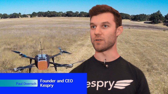
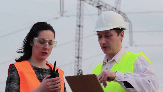
Building Drones for Construction, Surveying and Mining Applications
2.54K Views0 Comments0 Likes
The V1 Video team spoke to Paul Doersch, founder and CEO of Kespry. We talked about his company’s workflows specific to automating the collection of aerial survey information, including the measurement of aggregate stockpiles and mining resources.
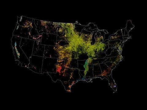
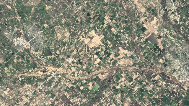
NASA Satellites Keep Watch on U.S. Food Supply
657 Views0 Comments0 Likes
The Cropland Data layer uses Landsat and similar sensors to identify what crop is growing where in the country.
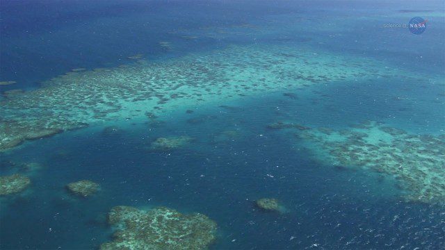
A New View of Coral Reefs
1.33K Views0 Comments0 Likes
A three-year NASA field expedition to examine Earth’s coral reefs is now underway, giving scientists the opportunity to study reef ecology and conditions.
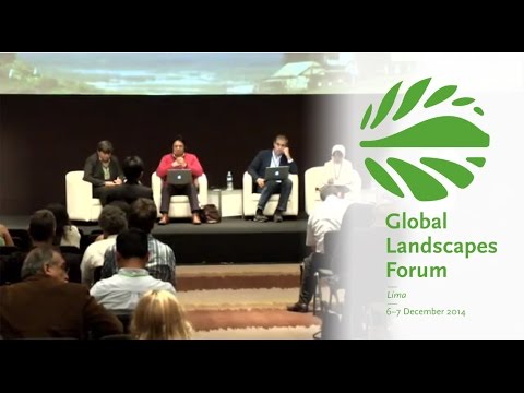
Making Forest Information Systems Work for REDD+ and Beyond
2.01K Views0 Comments0 Likes
Watch this discussion forum from the second day of the Global Landscapes Forum 2014, in Lima, Peru, during COP20. More and more countries have established and institutionalized sustainable, long-term and multi-purpose information systems in the context of REDD+ to support well-informed national policy formulation and decision making at different levels, and to meet national and international reporting needs. This panel discusses if they are used beyond estimating carbon stocks, how they improve global estimates and information, and how they can be most cost effective.
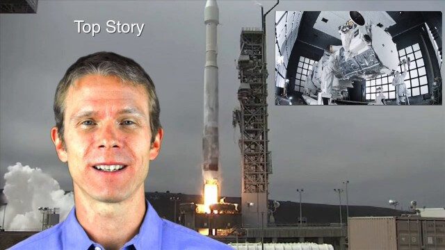
8_14 Remote-Sensing Broadcast (WorldView-3 Launch, NASA Satellites and More)
4.24K Views0 Comments0 Likes
This remote-sensing themed GeoSpatial Stream broadcast discusses the launch of DigitalGlobe's WorldView-3 satellite and its implications; NASA's carbon dioxide- and weather-monitoring satellites; an award for NGA Director Letitia Long; industry news from Esri and CartoDB; the Center for Satellite-Based Crisis Information; and more.
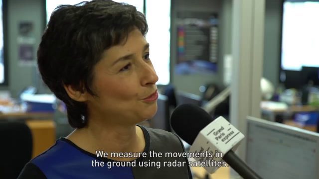
Satellite Monitoring of Grand Paris Express
1.02K Views0 Comments0 Likes
The Grand Paris Express is an unprecedented urban development project centred on a major expansion of the existing public transport network for the whole Paris metropolitan area.
NASA | Earth from Orbit 2013
1.57K Views0 Comments0 Likes
A fleet of orbiting satellites monitors Earth constantly. The satellites from NASA and other space agencies give us a fresh, wide perspective on things that we can see from the ground -- and things that we can't.
Commercial Drones Give A Bird’s Eye View for Inspections
1.28K Views0 Comments0 Likes
Commercial drones from Aerialtronics take flight with Watson IoT and cognitive visual recognition capabilities. Together, IBM Watson IoT and Aerialtronics can help companies open up expansive possibilities to gain insight in places not easily accessible to humans from monitoring city traffic patterns to inspecting wind turbines, oil rigs and cell tower optimization.
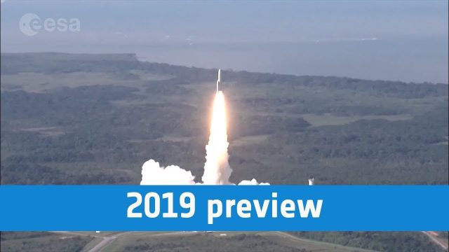
European Space Agency 2019 Preview
947 Views0 Comments0 Likes
ESA astronaut Luca Parmitano will return to the International Space Station, in Science Cheops will look at exoplanets, while the EDRS-C satellite will start the era of super-fast data relay on orbit.


