Monthly Archives: June 2019
88-South Antarctic Traverse: Year Two
0 Views0 Comments0 Likes
The 470-mile expedition in one of the most barren landscapes on Earth provides the best means of assessment of the accuracy of data collected from space by the Ice Cloud and land Elevation Satellite-2 (ICESat-2).
NASA Follows Changing Freshwater from Space
0 Views0 Comments0 Likes
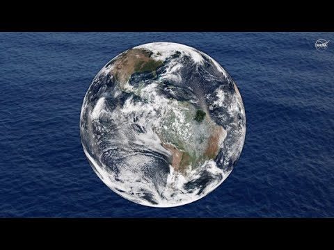
The first question NASA researchers studying freshwater on Earth ask is: Where is the water?
Teledyne Lidar Enables 3D Data Acquisition, Visual Effects for HBO’s Game of Thrones
0 Views0 Comments0 Likes
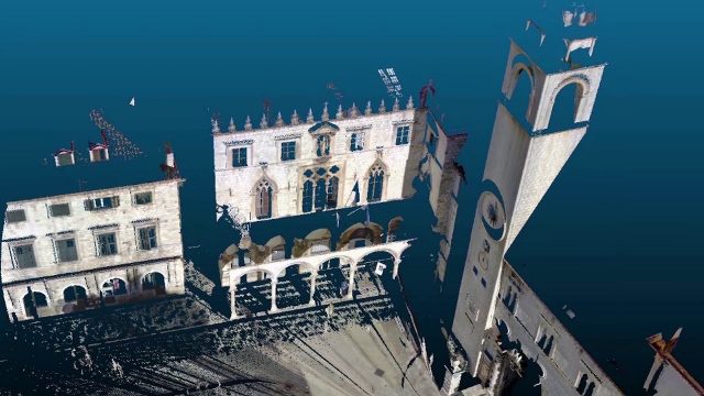
Vektra generated 3D point clouds in Dubrovnik using various lidar technologies including Teledyne Optech’s Maverick mobile lidar system and Polaris fixed terrestrial scanner. The lidar point clouds were then colorized with digital camera imagery and image fusion software.
Earth from Space: Lena River Delta
0 Views0 Comments0 Likes
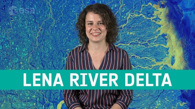
Copernicus Sentinel-1 takes us over Lena River Delta, in Russia, in this week's edition of the Earth from Space program.


