Monthly Archives: February 2019
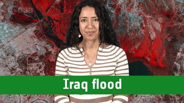
Earth from Space: Iraq Flood
0 Views0 Comments0 Likes
The Copernicus Sentinel-1 satellite takes us over one of the areas in Iraq that suffered flooding recently in this edition of the #EarthfromSpace program.
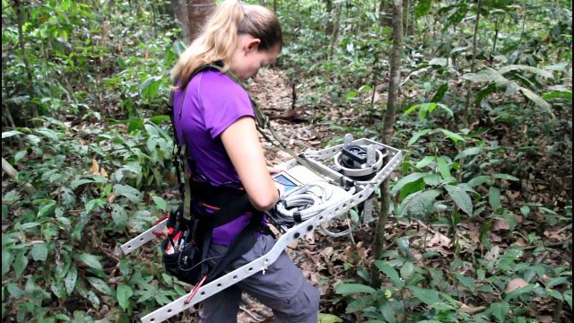
Measuring Forest Structure through a Lidar Lens
0 Views0 Comments0 Likes
Companion video of a New Phytologist paper "Seasonal and drought related changes in leaf area profiles depend on height and light environment in an Amazon forest."
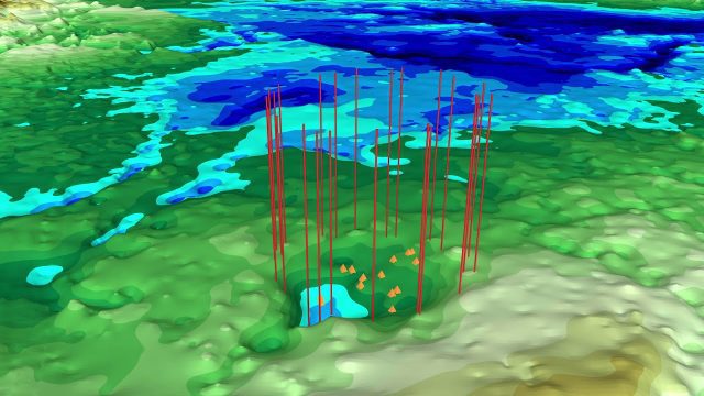
NASA Finds Second Massive Greenland Crater
0 Views0 Comments0 Likes
A NASA-led team discovered the feature using satellite data of the surface of the Greenland Ice Sheet as well as radar measurements from the airborne campaign Operation IceBridge.
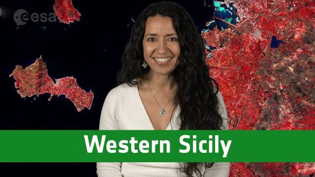
Earth from Space: Western Sicily
0 Views0 Comments0 Likes
In this week's edition of the Earth from Space program, the Copernicus Sentinel-2A satellite takes us over western Sicily and the islands of Favignana and Levanzo in Italy.


