
Monthly Archives: June 2015
Promoting the Value of 3-D Data for the Nation
0 Views0 Comments0 Likes
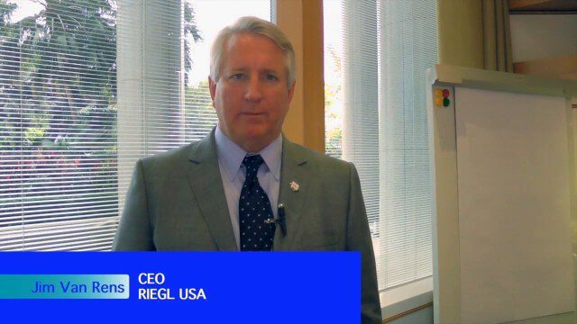
Informed Infrastructure spoke with Jim Van Rens, CEO of RIEGL USA, at the company’s user conference in Hong Kong. Jim is actively involved in helping promote the U.S. Geological Survey’s 3D Elevation Program (3DEP) that aims to map the country in high-resolution 3-D using LiDAR and aligned technologies.
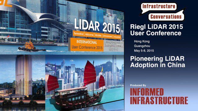
Pioneering LiDAR Adoption in China
0 Views0 Comments0 Likes
Informed Infrastructure interviewed Yanjing Liu, CEO of Five Star Electronic Technology, at the RIEGL LiDAR Conference in Guangzhou, China. Liu left his academic position at Virginia Tech and companies he founded in the United States to pioneer the use of LiDAR in China. We spoke about the hard work needed to set up this capacity as well as some landmark projects, including 3-D mapping of the Great Wall.
Processing and Visualizing Seamless Mobile LiDAR Point Clouds
0 Views0 Comments0 Likes
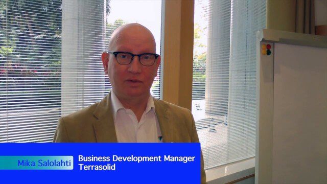
Informed Infrastructure spoke with Mika Salolahti, Business Development Manager at Terrasolid, about the processing and visualization of high-quality LiDAR point clouds. The visualization of tramlines in Helsinki, including overhanging wires, proves a powerful tool for asset management, maintenance and planning.
Single-Rotor Camcopter Extends Range and Flight Times
0 Views0 Comments0 Likes
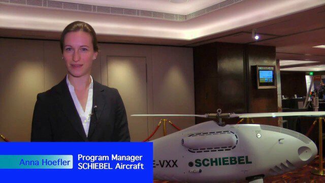
Informed Infrastructure spoke with Anna Katharina Hoefler, program manager at SCHIEBEL, at the RIEGL LiDAR Conference in Hong Kong. The rugged and large-scale single-rotor CAMCOPTER has a flight time of greater than six hours and a range from 50-200 kilometers.

6_11 Innovation Broadcast (Hexagon Conference, Iceberg Tracking and More)
0 Views0 Comments0 Likes
This GeoSpatial Stream broadcast discusses the latest innovation seen at the HxGN Live conference hosted by industry powerhouse Hexagon; a Canadian team tracking icebergs to understand how they drift; industry news from GeoDecisions, Esri, exactEarth, Harris Corp, FlightlineGeo and LizardTech; concluding thoughts and opinions from the Hexagon conference; singing with Elvis; and more.
Greg Bentley: Extending the Intelligent Model
0 Views0 Comments0 Likes
Informed Infrastructure spoke to Greg Bentley, CEO of Bentley Systems, at the company’s CONNECTION roadshow kickoff in Philadelphia. We spoke about the company’s announcements at the event as well as their continued extension of intelligent modeling to better-performing assets and projects.
Bentley Looks to Leverage the Cloud Across Projects
0 Views0 Comments0 Likes
Informed Infrastructure spoke to Bhupindher Singh, senior vice president of Bentley Software, at the company’s CONNECTION roadshow kickoff in Philadelphia. We touched on the launch of the company’s CONNECT Edition to use the cloud to collaborate and provide value across the enterprise.
Platform Interoperability for Project Improvement
0 Views0 Comments0 Likes
Informed Infrastructure spoke to Huw Roberts, vice president of platform marketing at Bentley Systems, at the company’s CONNECTION Event roadshow kickoff in Philadelphia. We touched on the next era of project workflows, with greater integration across processes and analytics for better outcomes.
Value Engineering for Site Planning and Preparation
0 Views0 Comments0 Likes
Informed Infrastructure spoke with Michael Kissinger, senior engineer and Land Development Division Manager at Pennoni Associates, and Steve Lewis, single point of contact for Pennoni’s Bentley SITEOPS business. We touched on their creative use of the SITEOPS site-planning tool on a variety of projects to win and retain business.
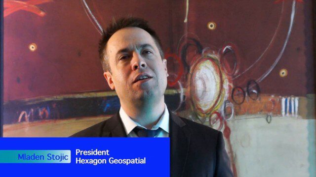
Hexagon Geospatial Unveils Cloud Strategy
0 Views0 Comments0 Likes
V1 Media and GeoSpatial Stream attended HxGN Live, Hexagon's annual user conference, at the MGM Grand in Las Vegas from June 1-4, 2015. They interviewed Mladen Stojic, President of Hexagon Geospatial, who discussed the evolution of geospatial data and introduced the company's three-pronged strategy for cloud implementation.


