
Monthly Archives: May 2015

After Quake, Engineer in Khatmandu Describes What Fell Down, or Didn’t, and Why
5.19K Views0 Comments0 Likes
Kit Miyamoto, a structural engineer fresh from five years rebuilding Haiti, spoke with Andy Revkin of The New York Times Dot Earth blog after a day inspecting Kathmandu damage zones.

5_28 Asia-Pacific Broadcast (Dinosaurs, Chinese LiDAR and More)
3.33K Views0 Comments0 Likes
This Asia-Pacific GeoSpatial Stream broadcast discusses project in Australia to digitally document dinosaur tracks via imaging technology; the Indian Seismic and GNSS Network, which passed the "test" of the Nepal earthquake; industry news from AAM Sky Geospatial Solutions and Takor Group; an interview clip from the Riegl LiDAR 2015 User Conference in China; a preview of the HxGN Live conference in Las Vegas; and more.
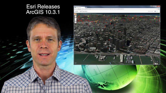
5_21 Climate Broadcast (Antarctic Ice Shelf, ArcGIS Release and More)
4.20K Views0 Comments0 Likes
This GeoSpatial Stream broadcast discusses a NASA study on the shrinking Antarctica Larsen B Ice Shelf; Esri's new release of ArcGIS and its improvements and updates; industry news from Blue Marble Geographics, Boundless and BlackBridge; Nepal relief work geared toward rebuilding the area; Nepal earthquake data from RADARSAT-2; and more.
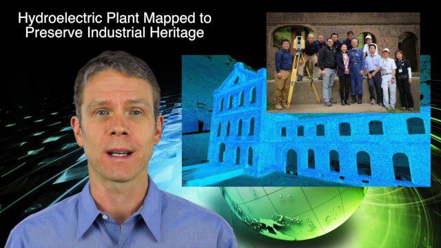
5_14 Infrastructure Broadcast (Nepal Update, 3-D Mapping and More)
3.79K Views0 Comments0 Likes
This Infrastructure-based GeoSpatial Stream broadcast provides an update from the latest earthquake in Nepal as well as related maps from Caltech and JPL concerning the area's geology and effects; 3-D mapping of an industrial heritage site in Japan; industry news from Trimble, Leica Geosystems and IMAGINiT; Nepal relief work geared toward rebuilding the area; and more.


