
Monthly Archives: May 2015
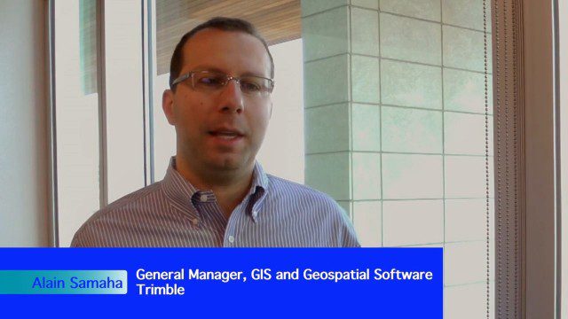
Trimble Expands Hardware and Software Integration, Focus on Solutions
0 Views0 Comments0 Likes
Trimble announced an expanded portfolio of geospatial solutions for surveyors, engineers and GIS professionals. V1 Media spoke with Alain Samaha, Business Area Director for Trimble's Geospatial Software Solutions and GIS businesses, about these solutions, the ability to automate and add efficiency, and other trends that are impacting data collection.
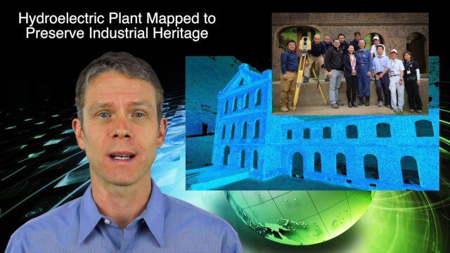
5_14 Infrastructure Broadcast (Nepal Update, 3-D Mapping and More)
0 Views0 Comments0 Likes
This Infrastructure-based GeoSpatial Stream broadcast provides an update from the latest earthquake in Nepal as well as related maps from Caltech and JPL concerning the area's geology and effects; 3-D mapping of an industrial heritage site in Japan; industry news from Trimble, Leica Geosystems and IMAGINiT; Nepal relief work geared toward rebuilding the area; and more.
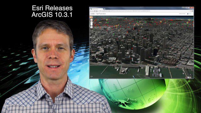
5_21 Climate Broadcast (Antarctic Ice Shelf, ArcGIS Release and More)
0 Views0 Comments0 Likes
This GeoSpatial Stream broadcast discusses a NASA study on the shrinking Antarctica Larsen B Ice Shelf; Esri's new release of ArcGIS and its improvements and updates; industry news from Blue Marble Geographics, Boundless and BlackBridge; Nepal relief work geared toward rebuilding the area; Nepal earthquake data from RADARSAT-2; and more.

5_28 Asia-Pacific Broadcast (Dinosaurs, Chinese LiDAR and More)
0 Views0 Comments0 Likes
This Asia-Pacific GeoSpatial Stream broadcast discusses project in Australia to digitally document dinosaur tracks via imaging technology; the Indian Seismic and GNSS Network, which passed the "test" of the Nepal earthquake; industry news from AAM Sky Geospatial Solutions and Takor Group; an interview clip from the Riegl LiDAR 2015 User Conference in China; a preview of the HxGN Live conference in Las Vegas; and more.


