
Monthly Archives: May 2015
Harris Tracks and Responds to Earth Observing Transformations
2.49K Views0 Comments0 Likes
Earth Imaging Journal spoke with Bill Gattle, vice president and general manager of national systems at Harris, with responsibility for space and intel business (commercial and government) as well as geospatial, imagery and Earth-observing technologies. We spoke about sensing, processing and providing actionable information to the marketplace. The accessibility of space, commercialization of sensors and high-powered analytics is transforming the market and expanding the applications and insights.
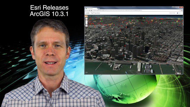
5_21 Climate Broadcast (Antarctic Ice Shelf, ArcGIS Release and More)
4.20K Views0 Comments0 Likes
This GeoSpatial Stream broadcast discusses a NASA study on the shrinking Antarctica Larsen B Ice Shelf; Esri's new release of ArcGIS and its improvements and updates; industry news from Blue Marble Geographics, Boundless and BlackBridge; Nepal relief work geared toward rebuilding the area; Nepal earthquake data from RADARSAT-2; and more.

Exelis Aims at Small Satellite Sensor Development
1.68K Views0 Comments0 Likes
Earth Imaging Journal spoke with Craig Oswald, account manager for remote-sensing commercial markets at Exelis. We spoke about the smallsat market as well as maintaining high imagery quality while riding the faster, better, cheaper wave as Earth-observation satellites continue to proliferate.

5_28 Asia-Pacific Broadcast (Dinosaurs, Chinese LiDAR and More)
3.33K Views0 Comments0 Likes
This Asia-Pacific GeoSpatial Stream broadcast discusses project in Australia to digitally document dinosaur tracks via imaging technology; the Indian Seismic and GNSS Network, which passed the "test" of the Nepal earthquake; industry news from AAM Sky Geospatial Solutions and Takor Group; an interview clip from the Riegl LiDAR 2015 User Conference in China; a preview of the HxGN Live conference in Las Vegas; and more.


