
Monthly Archives: February 2015
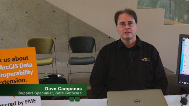
Safe Software Bringing Data Translation to Geodesign
3.31K Views0 Comments0 Likes
Safe Software is the maker of FME and a global leader in spatial data transformation technology. On behalf of V1 Media, Informed Infrastructure and GeoSpatial Stream, Todd Danielson interviewed Dave Campanas, software support specialist at Safe Software, at the Geodesign Summit 2015 in Redlands, Calif.
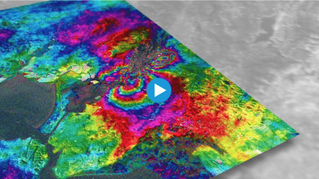
Earthquake Monitoring with Radar Satellites
2.25K Views0 Comments0 Likes
Radar satellite missions can measure millimetre-scale changes in Earth’s surface following an earthquake. On 24 August 2014, an earthquake struck California’s Napa Valley. By processing two images from the Sentinel-1A radar satellite, which were acquired on 7 August and 31 August 2014 over this wine-producing region, an 'interferogram' was generated showing ground deformation.
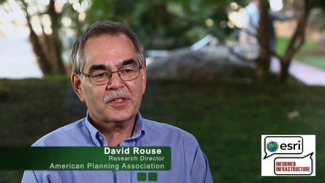
David Rouse Discusses Sustainable Places at the Geodesign Summit
5.46K Views0 Comments0 Likes
David Rouse, Research Director for the American Planning Association (APA), oversees the Planning Advisory Service and the three National Centers for Planning (Green Communities, Hazards Planning, and Planning and Community Health). On behalf of V1 Media, Informed Infrastructure and GeoSpatial Stream, Todd Danielson interviewed Rouse at the Geodesign Summit 2015 in Redlands, Calif.
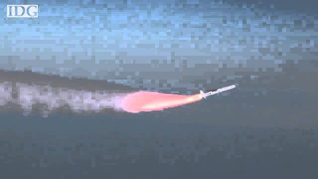
How DARPA Is Planning Fast, Cheap Satellite Launches
2.20K Views0 Comments0 Likes
Called the Airborne Launch Assist Space Access or ALASA program, it would be able to send satellites weighing 100 pounds or less into low-Earth orbit within 24 hours for less than $1 million per launch.
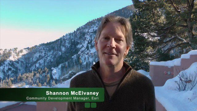
Geodesign Leader Discusses Concepts from “Earthship” Home
7.34K Views2 Comments0 Likes
Shannon McElvaney, Esri's Community Development Manager, spoke with Matt Ball, V1 Media's founder and editorial director, from his "Earthship" home in Colorado Springs, Colo., on Jan. 2., 2015, just weeks before the Geodesign Summit 2015. McElvaney is instrumental in holding the annual summit, and he discusses his thoughts on geodesign and connected construction.
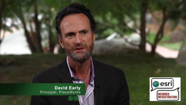
David Early Discusses Smart Growth at Geodesign Summit
9.00K Views2 Comments0 Likes
David Early, principal at PlaceWorks, is a renowned expert on smart growth. For more than 25 years, he has worked with communities and helped numerous clients prepare successful grant applications to help fund long-range planning efforts. On behalf of V1 Media, Informed Infrastructure and GeoSpatial Stream, Todd Danielson interviewed Early at the Geodesign Summit 2015 in Redlands, Calif.


