
Monthly Archives: February 2015
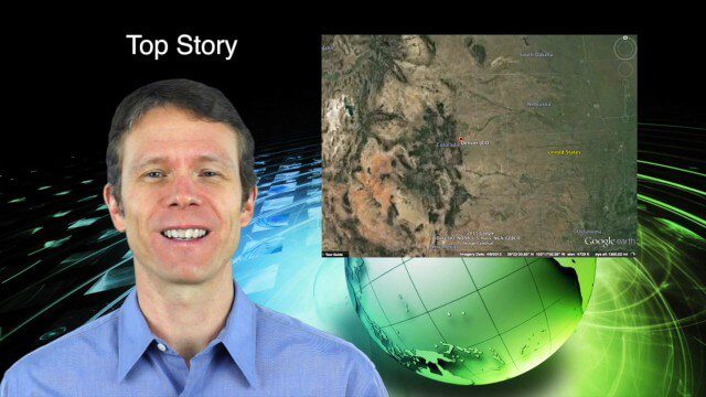
2_12 Maps and Drones Broadcast (Google Maps, Drones for Good and More)
3.88K Views0 Comments0 Likes
This GeoSpatial Stream broadcast discusses the 10-year anniversary of Google Maps; the Drones for Good contest and drone privacy issues; industry news from Esri, Cadcorp and LizardTech; an unintentionally funny video from Ordnance Survey in 1965; and more.
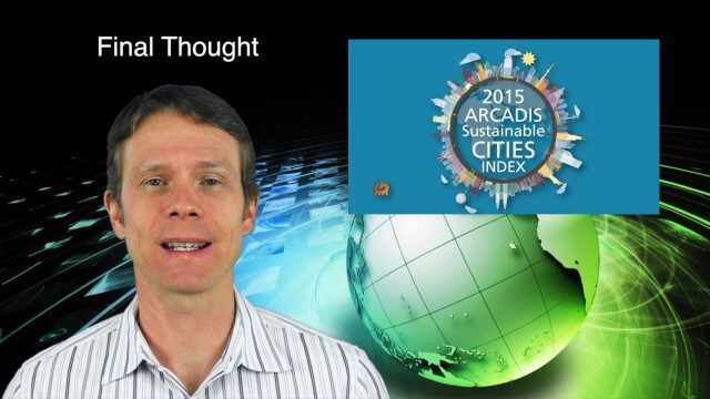
2_19 Infrastructure Broadcast (NSDI, Sustainable Cities and More)
4.21K Views0 Comments0 Likes
This Infrastructure-themed GeoSpatial Stream broadcast discusses the National Spatial Data Infrastructure (NSDI) Report Card; a Center for Environmental Health map concerning lead-contaminated fuel near airports; industry news from Hexagon, Trimble, Viametris, Apple and Bentley Systems; a video concerning the 2015 ARCADIS Sustainable Cities Index; and more.
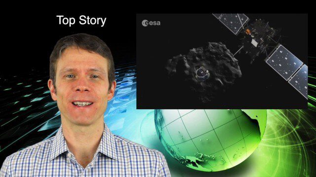
2_5 Earth Imaging Broadcast (Rosetta Mission, QuickBird Retires and More)
4.41K Views0 Comments0 Likes
This Earth Imaging-themed GeoSpatial Stream broadcast discusses the Rosetta Space Mission that landed on a comet; a new instrument on the International Space Station; a new UAS endurance record; DigitalGlobe's retiring of its QuickBird satellite after 13 years; industry news from Scene Sharp Technologies, Sokkia, NGA, BAE Systems and Google Earth Pro; new videos posted to GeoSpatial Stream; and more.
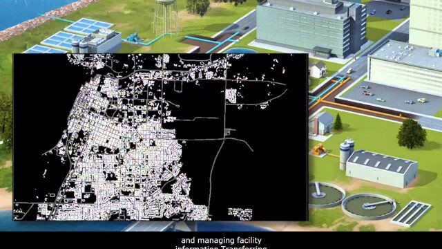
AECO Software to Manage the Urban Water Infrastructure Lifecycle
2.38K Views0 Comments0 Likes
Utilities and their consultants around the world rely on Bentley’s water solution to deliver intelligent infrastructure, ultimately providing clean water and managing sewerage and storm runoff. What architectural, engineering, construction, and operations (AECO) professionals can learn: • Maintain a centralized asset repository and manage facility information with Bentley’s integrated water and geospatial products • Model, analyze, and design water and wastewater pipe networks, using Bentley’s easy-to-use hydraulics and hydrology software • Design and build water and wastewater treatment plants in a fully-managed, collaborative team environment, using Bentley’s plant, structural, and building applications.
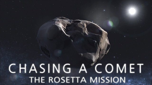
CHASING A COMET – The Rosetta Mission
1.70K Views0 Comments0 Likes
Among the most fascinating projects in the exploration of the Universe is the European Space Agency's Rosetta mission, launched in 2004 to investigate the comet 67P/Churyumov--Gerasimenko. For the first time, a spacec...
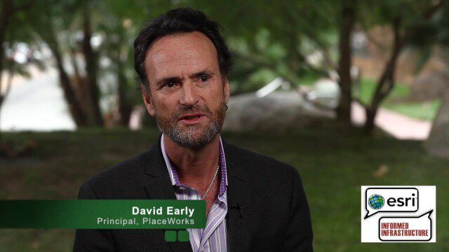
David Early Discusses Smart Growth at Geodesign Summit
9.00K Views2 Comments0 Likes
David Early, principal at PlaceWorks, is a renowned expert on smart growth. For more than 25 years, he has worked with communities and helped numerous clients prepare successful grant applications to help fund long-range planning efforts. On behalf of V1 Media, Informed Infrastructure and GeoSpatial Stream, Todd Danielson interviewed Early at the Geodesign Summit 2015 in Redlands, Calif.
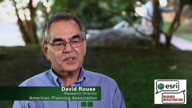
David Rouse Discusses Sustainable Places at the Geodesign Summit
5.46K Views0 Comments0 Likes
David Rouse, Research Director for the American Planning Association (APA), oversees the Planning Advisory Service and the three National Centers for Planning (Green Communities, Hazards Planning, and Planning and Community Health). On behalf of V1 Media, Informed Infrastructure and GeoSpatial Stream, Todd Danielson interviewed Rouse at the Geodesign Summit 2015 in Redlands, Calif.
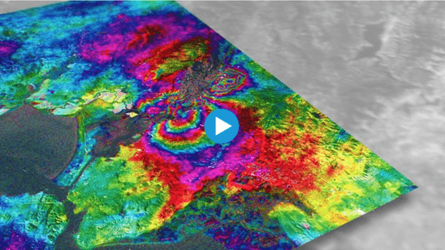
Earthquake Monitoring with Radar Satellites
2.25K Views0 Comments0 Likes
Radar satellite missions can measure millimetre-scale changes in Earth’s surface following an earthquake. On 24 August 2014, an earthquake struck California’s Napa Valley. By processing two images from the Sentinel-1A radar satellite, which were acquired on 7 August and 31 August 2014 over this wine-producing region, an 'interferogram' was generated showing ground deformation.
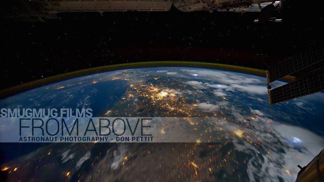
From Above – Astronaut Photography with Don Pettit
1.83K Views0 Comments0 Likes
You've never seen space like this. This short film gives an inside look at how NASA Astronaut Don Pettit captures breathtaking images of Earth's most famous phenomena - aurora, star trails, city lights, and more - from the inside the International Space Station.
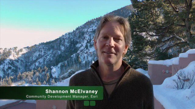
Geodesign Leader Discusses Concepts from “Earthship” Home
7.34K Views2 Comments0 Likes
Shannon McElvaney, Esri's Community Development Manager, spoke with Matt Ball, V1 Media's founder and editorial director, from his "Earthship" home in Colorado Springs, Colo., on Jan. 2., 2015, just weeks before the Geodesign Summit 2015. McElvaney is instrumental in holding the annual summit, and he discusses his thoughts on geodesign and connected construction.


