
Monthly Archives: February 2015
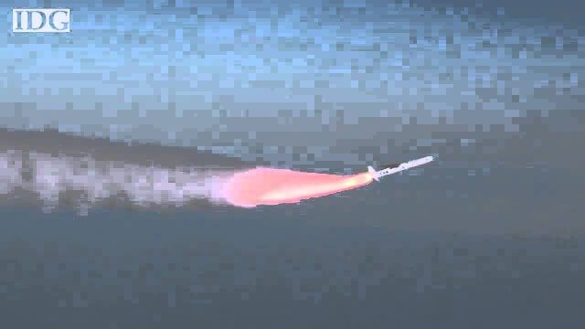
How DARPA Is Planning Fast, Cheap Satellite Launches
0 Views0 Comments0 Likes
Called the Airborne Launch Assist Space Access or ALASA program, it would be able to send satellites weighing 100 pounds or less into low-Earth orbit within 24 hours for less than $1 million per launch.
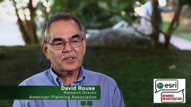
David Rouse Discusses Sustainable Places at the Geodesign Summit
0 Views0 Comments0 Likes
David Rouse, Research Director for the American Planning Association (APA), oversees the Planning Advisory Service and the three National Centers for Planning (Green Communities, Hazards Planning, and Planning and Community Health). On behalf of V1 Media, Informed Infrastructure and GeoSpatial Stream, Todd Danielson interviewed Rouse at the Geodesign Summit 2015 in Redlands, Calif.
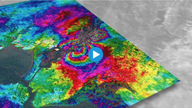
Earthquake Monitoring with Radar Satellites
0 Views0 Comments0 Likes
Radar satellite missions can measure millimetre-scale changes in Earth’s surface following an earthquake. On 24 August 2014, an earthquake struck California’s Napa Valley. By processing two images from the Sentinel-1A radar satellite, which were acquired on 7 August and 31 August 2014 over this wine-producing region, an 'interferogram' was generated showing ground deformation.
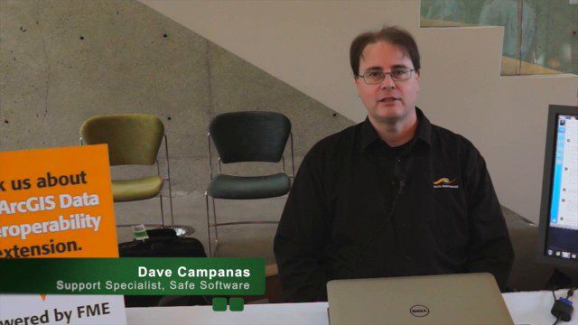
Safe Software Bringing Data Translation to Geodesign
0 Views0 Comments0 Likes
Safe Software is the maker of FME and a global leader in spatial data transformation technology. On behalf of V1 Media, Informed Infrastructure and GeoSpatial Stream, Todd Danielson interviewed Dave Campanas, software support specialist at Safe Software, at the Geodesign Summit 2015 in Redlands, Calif.
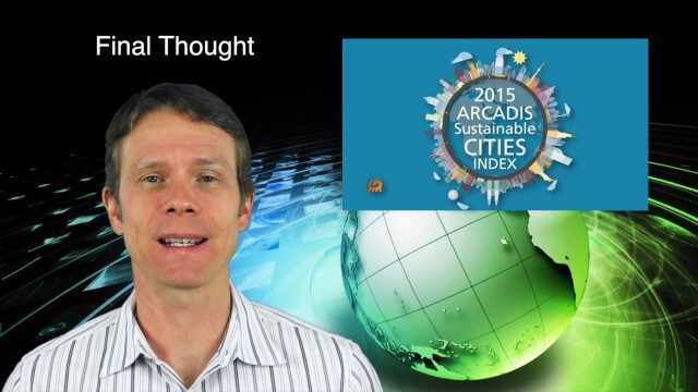
2_19 Infrastructure Broadcast (NSDI, Sustainable Cities and More)
0 Views0 Comments0 Likes
This Infrastructure-themed GeoSpatial Stream broadcast discusses the National Spatial Data Infrastructure (NSDI) Report Card; a Center for Environmental Health map concerning lead-contaminated fuel near airports; industry news from Hexagon, Trimble, Viametris, Apple and Bentley Systems; a video concerning the 2015 ARCADIS Sustainable Cities Index; and more.
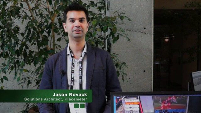
Placemeter Building Real-Time Dynamic Data Layer
0 Views0 Comments0 Likes
Placemeter collects and serves up-to-the-minute information such as how crowded a place is, how long the wait is, and whether it will get more or less crowded in the next hour. On behalf of V1 Media, Informed Infrastructure and GeoSpatial Stream, Todd Danielson interviewed Jason Novack, solutions architect at Placemeter, at the Geodesign Summit 2015 in Redlands, Calif.
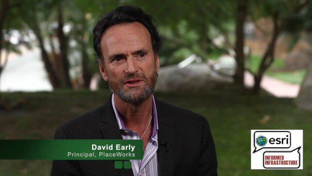
David Early Discusses Smart Growth at Geodesign Summit
0 Views2 Comments0 Likes
David Early, principal at PlaceWorks, is a renowned expert on smart growth. For more than 25 years, he has worked with communities and helped numerous clients prepare successful grant applications to help fund long-range planning efforts. On behalf of V1 Media, Informed Infrastructure and GeoSpatial Stream, Todd Danielson interviewed Early at the Geodesign Summit 2015 in Redlands, Calif.
2_12 Maps and Drones Broadcast (Google Maps, Drones for Good and More)
0 Views0 Comments0 Likes
This GeoSpatial Stream broadcast discusses the 10-year anniversary of Google Maps; the Drones for Good contest and drone privacy issues; industry news from Esri, Cadcorp and LizardTech; an unintentionally funny video from Ordnance Survey in 1965; and more.

Map Survey (1965)
0 Views0 Comments0 Likes
"Britain is the world's greatest map making country" announces the narrator. Various shots of maps being crafted. Large optical devices are used - a camera "as big as a fair sized room" is used to take photographs of the maps. We are at the Ordnance Survey Commission headquarters. Various shots of technicians looking at the large photographs.
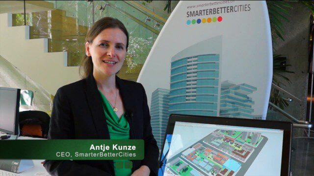
SmarterBetterCities Returns to Geodesign Summit
0 Views0 Comments0 Likes
SmarterBetterCities uses innovative Web-based tools, such as Cloud Cities and 3D Cities Libraries, that allow users to create 3D content and scenarios for urban planning. On behalf of V1 Media, Informed Infrastructure and GeoSpatial Stream, Todd Danielson interviewed Antje Kunze, CEO of SmarterBetterCities, at the Geodesign Summit 2015 in Redlands, Calif.


