
Monthly Archives: December 2014
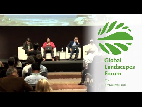
Making Forest Information Systems Work for REDD+ and Beyond
0 Views0 Comments0 Likes
Watch this discussion forum from the second day of the Global Landscapes Forum 2014, in Lima, Peru, during COP20. More and more countries have established and institutionalized sustainable, long-term and multi-purpose information systems in the context of REDD+ to support well-informed national policy formulation and decision making at different levels, and to meet national and international reporting needs. This panel discusses if they are used beyond estimating carbon stocks, how they improve global estimates and information, and how they can be most cost effective.
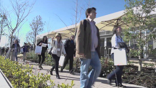
Fujisawa Sustainable Smart Town Goes Into Full-Scale Operation
0 Views0 Comments0 Likes
Fujisawa SST begins full-scale operation, following the completion of “Fujisawa SST SQUARE,” its core facility.
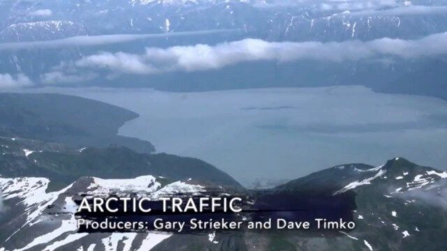
Arctic Traffic
0 Views0 Comments0 Likes
As climate change melts sea ice and opens the Arctic Ocean to more shipping and oil exploration, marine mammals and native people in small boats are at risk. Watch this video from This American Land and then read a related article from Earth Imaging Journal at http://eijournal.com/print/articles/monitoring-polar-changes-scientists-deploy-many-tools-to-measure-sea-ice-thickness to learn more on this topic.
Environment Prize-Winner Uses Satellites to Reveal Human Impact
0 Views0 Comments0 Likes
Eric Lambin, the winner of the 2014 Volvo Environment Prize is a remote sensing pioneer using satellite images and advanced data collection to analyse land use and the influence of humans on the planet. Watch the video on Eric Lambin’s research and about the Ecology of Happiness. Read more about the Volvo Environment Prize at: http://www.environment-prize.com/
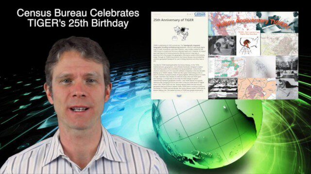
12_4 TIGER Broadcast (Database Milestones, People to Pixels and More)
0 Views0 Comments0 Likes
This GeoSpatial Stream broadcast discusses "People to Pixels" remote-sensing techniques that won a major award; the 25th anniversary of the U.S. Census Bureau's TIGER database; industry news from Esri, SmarterBetterCities, TomTom, Fleetlogic and ThinkGeo; clips from an interview with Greg Bentley, CEO of Bentley Systems; information about an upcoming Webcast on Structural Steel Fabrication; and more.
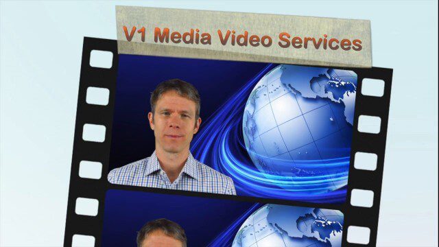
V1 Media Video Services
0 Views0 Comments0 Likes
This video describes V1 Media's professional and inexpensive video services and how they can help your business succeed. It provides samples of video interviews, product and service commercials, event recaps and promotions, project showcases, and more.

National Forest Monitoring and Assessment Program
0 Views0 Comments0 Likes
The National Forest Monitoring and Assessment program.
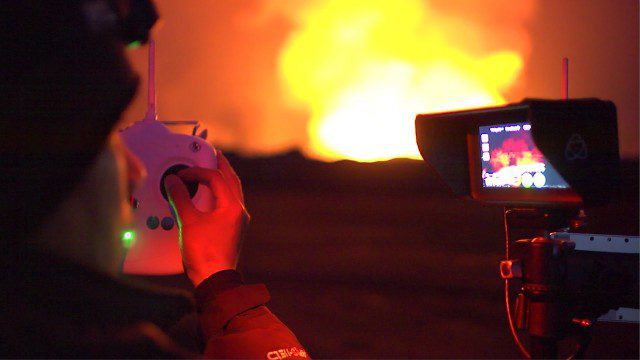
Drones Capture Images of Erupting Iceland Volcano, Part 1
0 Views0 Comments0 Likes
DJI's first video in a series called "DJI Feats" takes you to the remote wilderness of an erupting Icelandic volcano, where Phantom 2 quadcopters are used to capture viewpoints of an exploding magma caldera too dangerous to be approached by manned aircraft.
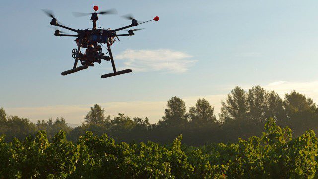
Drones for Good (HP)
0 Views0 Comments0 Likes
Most people associate drones with the military - an invasive eagle eye hovering from above. What many people don't realize, however, is the tremendous good drones can do. Information from drones can be used for valuable data collection, telling us things we can't see from the ground and helping countries and communities after natural disasters. A drone can spot structural damage, road blocks, and even save human lives. To learn more about using drones for social good and how technology is revolutionizing all means of transportation.
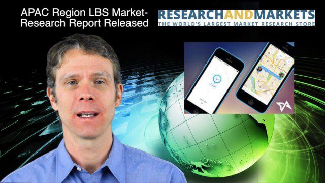
12_18 Asia-Pacific Broadcast (Cultural Heritage, APAC LBS Market and More)
0 Views0 Comments0 Likes
This Asia-Pacific-focused GeoSpatial Stream broadcast discusses a Cultural Preservation survey project in LaoSiCheng, China; a market-research report on the APAC region's LBS market; a V1 Media interview with a Bentley Systems Year in Infrastructure award winner from China; industry headlines from Paragon Software Systems, SkyTraq Technology Inc., Supergeo Technologies and Hamon Thermal Co.; and more.


