
Monthly Archives: October 2014
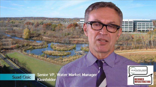
Kleinfelder Interview – Suad Cisic, Senior VP, Water Market Manager
5.19K Views0 Comments0 Likes
Informed Infrastructure spoke with Suad Cisic, Senior Vice President, Water Market Manager, at the opening of Kleinfelder’s new office in downtown Denver. Suad discussed new stormwater management efforts, such at the award-winning Alewife Stormwater Reservoir, the need to repair leaking water pipelines, and the growing trend to proactively manage water assets.
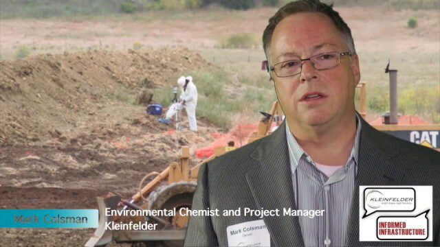
Kleinfelder Interview – Mark Colsman, Environmental Chemist and Project Manager
3.49K Views0 Comments0 Likes
Informed Infrastructure spoke with Mark Colsman, environmental chemist and project manager, at the opening of Kleinfelder’s new office in downtown Denver. The conversation about the environmental-remediation work that Kleinfelder is involved in covered their development of Conceptual Site Models with considerable data collection for decision making about the issues on the site. Increasingly, they are using real-time data sensors and data feeds to better understand underground processes.
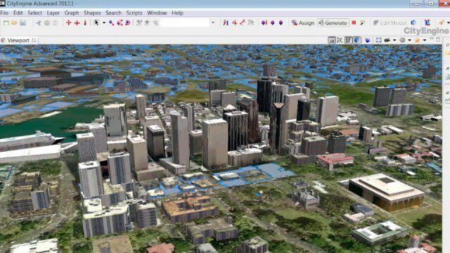
The Power of Geodesign
9.82K Views0 Comments0 Likes
GeoSpatial Stream created this fast-paced music video that quickly summarizes the power of geodesign, based on footage and ideas found at Esri's annual Geodesign Summit.

Advertise
0 Views0 Comments0 Likes
Informed Infrastructure is one of five V1 Media publications that also include Earth Imaging Journal, Sensors & Systems and Asian Surveying & Mapping, and the video news site GeoSpatial Stream. We offer print ...
Make It Wearable Finalists: Meet Team Nixie
2.32K Views0 Comments0 Likes
Team Nixie (http://flynixie.com) is developing the first wearable drone camera, which can be worn around your wrist. The team will be presenting their prototype for the Intel Make It Wearable Challenge Finale on November 3, 2014 in San Francisco. Learn more about Make It Wearable and follow the race to the finish line at http://makeit.intel.com. To find out more about Team Nixie, see their work at http://flynixie.com or follow them on https://www.facebook.com/flynixie.

Fully Integrated RiCOPTER UAV in Flight
3.19K Views0 Comments0 Likes
RiCOPTER is a high-performance UAV which can be equipped with the RIEGL VUX-1 survey-grade LiDAR sensor to offer a fully integrated turnkey solution and marks the first complete UAS LiDAR solution from one manufacturer.
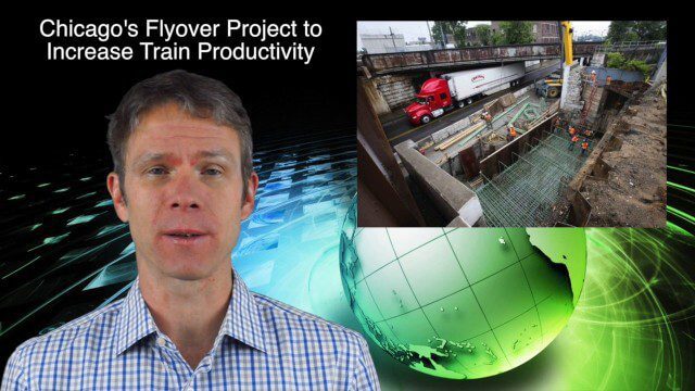
10_30 Infrastructure Broadcast (Green Buildings, Bridge Construction and More)
4.35K Views0 Comments0 Likes
This GeoSpatial Stream broadcast discusses infrastructure news and videos, including a report on Green Buildings; the new Englewood Flyover train project in Chicago; a smart traffic-light network; accelerated bridge construction in Rhode Island; industry news from Esri Canada, Innovyze, Maptek and Autodesk; the upcoming Trimble Dimensions conference in Las Vegas; and more.

Unleashing the Power of Earth Observations
1.72K Views0 Comments0 Likes
What do we see when we look at the Earth, and what do these observations mean for the years ahead? Barbara Ryan, secretariat director of the Intergovernmental Group on Earth Observations (GEO), discusses this Geneva-based, voluntary partnership of governments and organizations dedicated to coordinated, comprehensive, and sustained Earth observations and information — sharing what scientific observers worldwide are learning about the state and health of planet Earth.
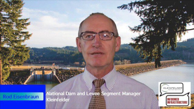
Kleinfelder Interview – Rod Eisenbraun, National Dam and Levee Segment Manager
10.78K Views2 Comments0 Likes
Informed Infrastructure spoke with Rod Eisenbraun, national dam and levee segment manager, at the opening of Kleinfelder’s new office in downtown Denver. The conversation covered dam creation and rehabilitation, the need for more storage with increasing droughts, the more environmentally friendly approaches these days, and hydro power as a clean power source.

10_9 Earth Imaging Broadcast (Land-Cover Change, Seafloor Maps and More)
4.67K Views0 Comments0 Likes
This GeoSpatial Stream broadcast discusses Earth Imaging news, including new USGS land-cover change models; new maps of the world's seafloor; NASA's Global Precipitation Measurement satellite; industry news from Rapidlasso, Sewall and Optech; an imaging drone from Intel's wearable technology contest; and more.


