
Monthly Archives: June 2014
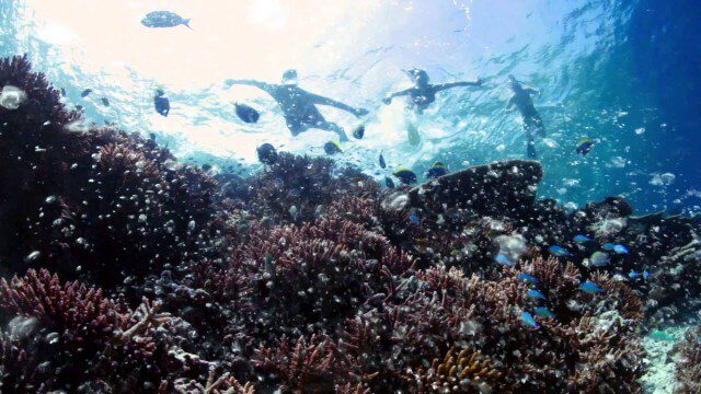
Help Protect Our Ocean
2.23K Views0 Comments0 Likes
Whether you live on the coast or hours from the closest beach, we all depend on the ocean. The ocean is critical to maintaining life on Earth, contributing to our livelihoods and our well-being. Yet, the ocean is facing significant challenges, such as unsustainable fishing practices, marine pollution, and ocean acidification. The good news is that there are solutions.

Exploring InfraWorks Vegas Style! Event (Short Version)
5.82K Views0 Comments0 Likes
This video is a short trailer of the full video recapping the Exploring InfraWorks (Vegas Style!) event that took place during Autodesk University 2013. A bus trip explored the use of Autodesk technology to model the infrastructure of the city of Las Vegas. VTN Consulting is the main contractor on the project.
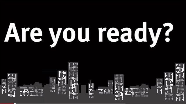
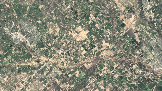
Indicators for sustainable cities — how do you score?
1.40K Views0 Comments0 Likes
By 2050, 70% of people will live in cities... are you ready? City indicators help city managers, politicians, researchers and other professionals to focus on what's important and put in place policies for more livable, tolerant, sustainable, economically attractive and prosperous cities.
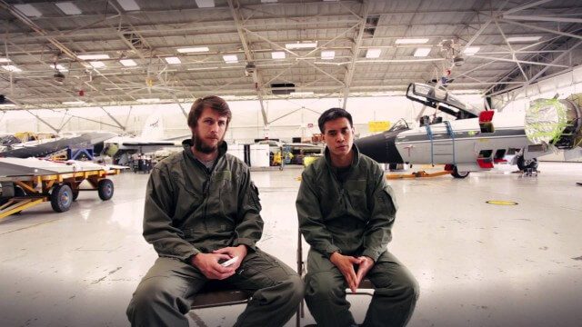
Project Tango: NASA SPHERES
2.17K Views0 Comments0 Likes
Since the summer of 2013, the Project Tango team has been working closely with a team at the NASA Ames Research Center. The goal: to integrate a Project Tango prototype onto a robotic platform, called SPHERES, that flies inside the International Space Station.

6_19 Asia-Pacific Broadcast (Toxic Sites, Bird Flu Maps and More)
5.44K Views0 Comments0 Likes
This Asia-Pacific-focused GeoSpatial Stream broadcast discusses an analysis from the Global Alliance on Health and Pollution; 3D images of the Fukushima Daiichi nuclear complex; an Indonesia forestry map; bird flu maps; China's Fengyun-3C satellite; India's Bhaskaracharya Institute for Space Applications and Geoinformatics; industry headlines from AAM and JTRS Registered Surveyor, Fugro, VisionMap and Acute3D, and Supergeo; the "Poisoned Poor"; and more.
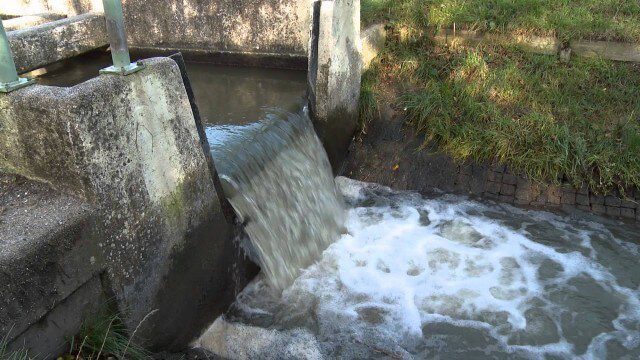
Digital Delta transforms Dutch water system using Big Data
2.43K Views0 Comments0 Likes
This video introduces IBM Smarter Water Management solutions running on IBM Intelligent Water software to address Flood and Natural Resource Management. This solution provides the Dutch Water authorities a breakthrough innovation program to harness insights from Big Data and transform flood control and management of the entire Dutch water system.
NASA | Earth from Orbit 2013
1.57K Views0 Comments0 Likes
A fleet of orbiting satellites monitors Earth constantly. The satellites from NASA and other space agencies give us a fresh, wide perspective on things that we can see from the ground -- and things that we can't.
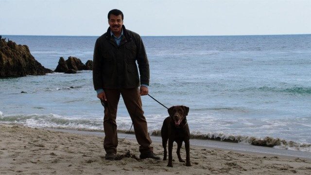
Weather Versus Climate Change
2.05K Views0 Comments0 Likes
Neil deGrasse Tyson breaks down the difference between weather and climate change.

6_2 GPS Broadcast (Topo Maps, Napoleon, HxGN LIVE, More)
3.86K Views0 Comments0 Likes
This GeoSpatial Stream broadcast includes a tribute to the "founder of GPS," Roger Easton, and discusses new USGS Topo maps; cloud computing frameworks; a book featuring the famous Minard Map of Napoleon's Russian Campaign of 1812; BlackBridge financing; World Cup Stadium images from Airbus; and an upcoming trip to HxGN LIVE in Las Vegas, Nevada.


