
Monthly Archives: June 2014
NASA | Earth from Orbit 2013
0 Views0 Comments0 Likes
A fleet of orbiting satellites monitors Earth constantly. The satellites from NASA and other space agencies give us a fresh, wide perspective on things that we can see from the ground -- and things that we can't.

Indicators for sustainable cities — how do you score?
0 Views0 Comments0 Likes
By 2050, 70% of people will live in cities... are you ready? City indicators help city managers, politicians, researchers and other professionals to focus on what's important and put in place policies for more livable, tolerant, sustainable, economically attractive and prosperous cities.

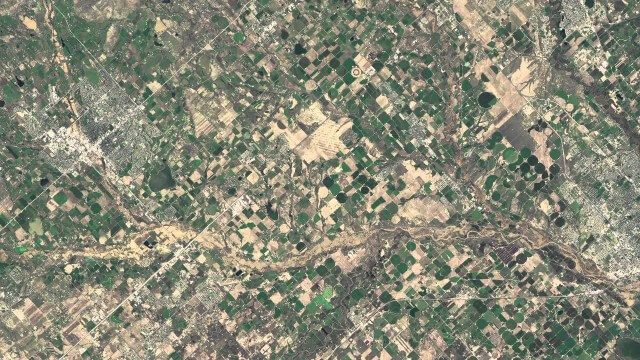
BISAG GUJARAT
0 Views0 Comments0 Likes
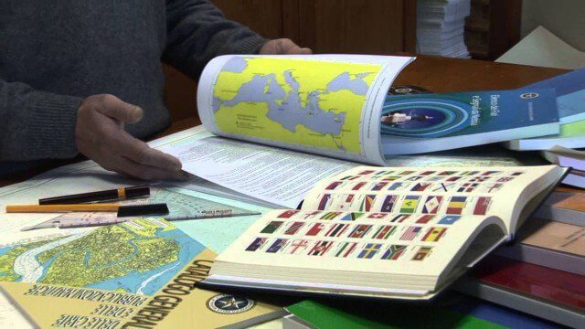
Marina Militare – Hydrography explained to kids
0 Views0 Comments0 Likes
The Navy Hydrographic Institute is the Italian Cartographic Centre designated to the production of official national nautical documents.

Exelis Discusses Climate Instrument Specialization and Demand
0 Views0 Comments0 Likes
Matt Ball spoke with Eric Webster, VP and Director, Environmental Intelligence, Geospatial Systems, Exelis, at the recent International Space Symposium. The conversation covered some recent sensor contract wins with NASA and JAXA as well as discussion about the evolution of sensors from hardware- to software-based, affording much greater on-orbit flexibility.
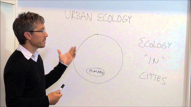
Urban Ecology
0 Views0 Comments0 Likes
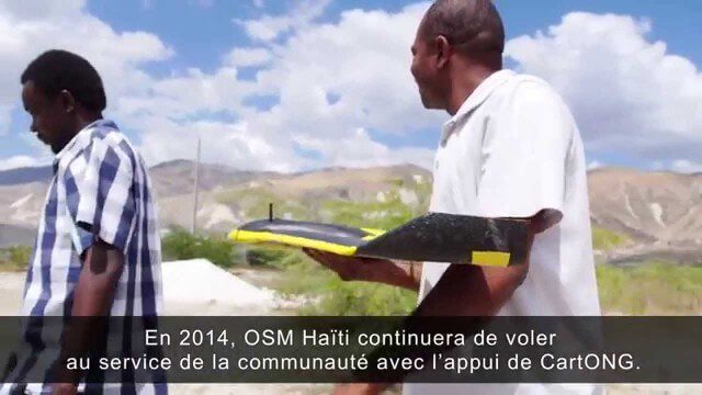
Drone Mapping Haiti (French)
0 Views0 Comments0 Likes

Hexagon’s Schmidt Discusses Water Solutions
0 Views0 Comments0 Likes
Todd Danielson interviews Justin Schmidt, Executive Manager, Hexagon Solutions, at the HxGN LIVE event in Las Vegas, Nevada. They discuss the Hexagon Smart H2O Solution (the foundation for Hexagon Solutions), complete water systems and their challenges, dam monitoring and failures, and more.

Weather Versus Climate Change
0 Views0 Comments0 Likes
Neil deGrasse Tyson breaks down the difference between weather and climate change.

Project Tango: NASA SPHERES
0 Views0 Comments0 Likes
Since the summer of 2013, the Project Tango team has been working closely with a team at the NASA Ames Research Center. The goal: to integrate a Project Tango prototype onto a robotic platform, called SPHERES, that flies inside the International Space Station.


