
Monthly Archives: March 2014
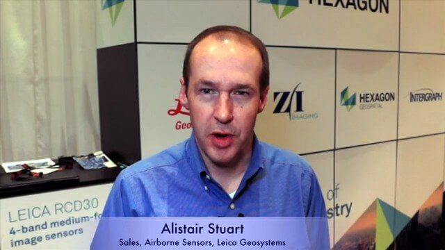
Alistair Stuart, Leica Geosystems, Interview
4.58K Views0 Comments0 Likes
Matt Ball interviews Alistair Stuart, sales of Airborne Sensors, Leica Geosystems. They discuss Leica's recent purchase of Aibotix and its Aibot X6 hexacopter. Stuart discusses the advantages of the UAS compared to other imagery vehicles in terms of cost, safety and portability.
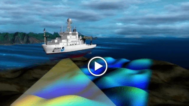
NOAA’s SoundScapes
2.04K Views0 Comments0 Likes
In this episode: in less than three minutes, this video presents the basics about multibeam and side scan sonar, including a visualization that shows how sonar data is used to make products like nautical charts.

White House Climate Data Initiative
2.15K Views0 Comments0 Likes
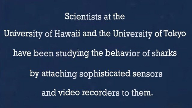
A “shark’s eye” view: Witnessing the life of a top predator
3.97K Views0 Comments0 Likes
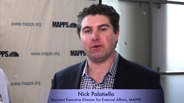
Nick Palatiello Interview
3.43K Views0 Comments0 Likes
Matt Ball interviews Nick Palatiello, Assistant Executive Director for External Affairs, MAPPS. They discuss the lobbying organization's history, agenda and how it works with government officials to advocate for the geospatial profession.

Food Maps
2.92K Views0 Comments0 Likes
These food maps created by Caitlin Levin and Henry Hargreaves originally were inspired by a passion for travel. Exploring new places through the food you eat is often a portal to the cultural complexities of that place.

3_19 Infrastructure Broadcast (NYC Gas Explosion, Canada vs. U.S. Infrastructure and More)
3.42K Views0 Comments0 Likes
This infrastructure-focused GeoSpatial Stream broadcast discusses the gas-leak explosion in New York City; the state of the U.S. infrastructure; Canadian investment; announcements from the Smart Grid Innovation Hub, Bentley Systems, Esri, Oracle and Topcon Positioning Group; and more.
Ron Roth and Anders Ekelund Interview
3.63K Views0 Comments0 Likes
Matt Ball interviews Ron Roth, product manager, Airborne LiDAR, Leica Geosystems, and Anders Ekelund, managing director, Airborne Hydrography AB. They discuss Leica's acquisition of Airborne Hydrography AB and the bathymetric products the company creates, including its Chiroptera system.

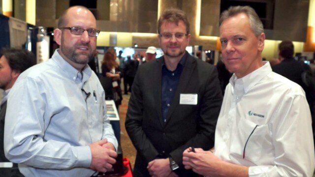
Patrick Collins Interview
3.55K Views0 Comments0 Likes
Matt Ball interviews Patrick Collins, Technical Solutions Engineer, Exelis Visual Information Solutions. They discuss the increasing size of LiDAR data and the tools to handle such volume as well as the variety of ways image data can be analyzed, including automated feature extraction.
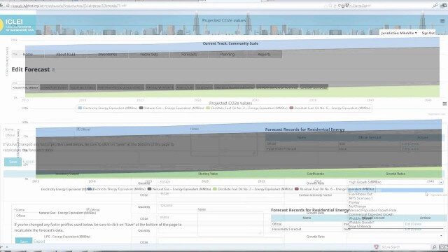
ClearPath Emissions-Management Software
2.33K Views0 Comments0 Likes
ClearPath is the next generation of ICLEI's online software suite for local governments managing energy, resources, and GHG emissions. ClearPath offers a powerful and integrated cloud-based platform that allows you to visualize your current and future emissions, and easily carry out sophisticated analysis to determine the right mix of policies to meet your emissions reduction goals.


