Monthly Archives: February 2014
QuestUAV Parachute Landing
0 Views0 Comments0 Likes
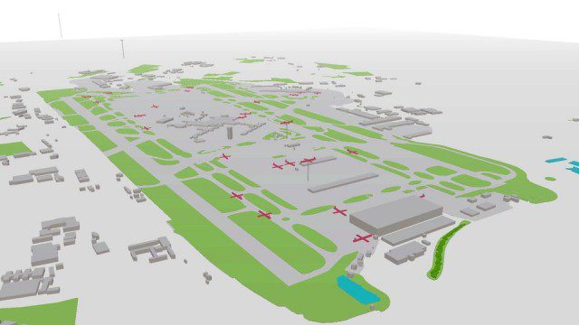
Live Planes in ViziCities using Plane Finder
0 Views0 Comments0 Likes
Richard Humphrey Interview (Full-Length Version)
0 Views0 Comments0 Likes
Todd Danielson interviews Richard Humphrey, senior director, Infrastructure & Collaboration Products, Autodesk. They discuss how technology can help "bridge the gaps" in infrastructure spending, the Autodesk infrastructure product suite, simulation services, information unification, rules-based design platforms, large-scale modeling, and Autodesk's ReCap product.
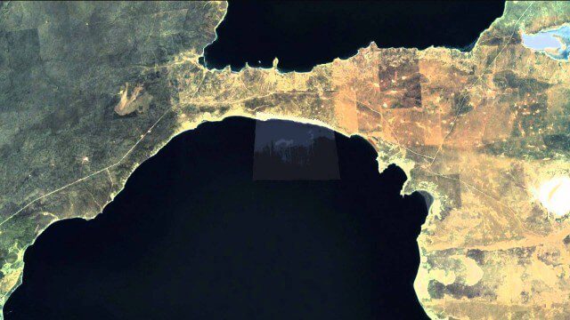
Satellites help spot whales
0 Views0 Comments0 Likes
600 km Above Earth’s Surface with HD Video (Skybox Imaging)
0 Views0 Comments0 Likes
2_18 Asia-Pacific Broadcast (China’s Ecological Infrastructure, TeLEOS-1 Satellite, Alibaba Mapping Offer and More)
0 Views0 Comments0 Likes
This Asia-Pacific-focused GeoSpatial Stream broadcast discusses Kongjian Yu's efforts in China's ecological infrastructure; the TeLEOS-1 Earth-imaging satellite; the Geological Survey of India; Alibaba's offer for AutoNavi; the "other" Great Wall of China mapping; Skybox Imaging in Australasia; and more.
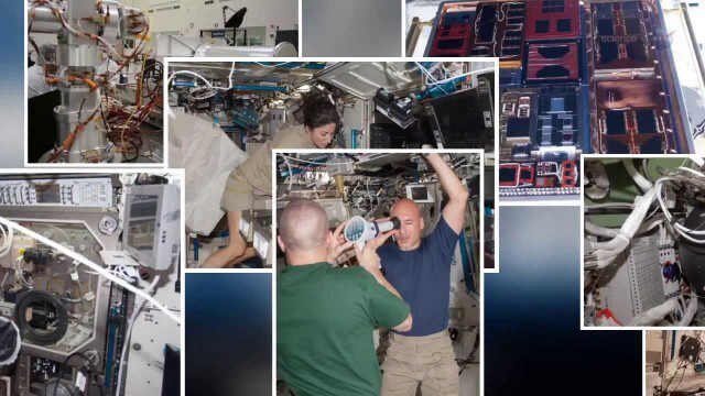
International Space Station Gets a Ten-Year Extension
0 Views0 Comments0 Likes
ReROLL Game Using Geotech
0 Views0 Comments0 Likes
Roger Tomlinson Tribute (Excerpt)
0 Views0 Comments0 Likes
2_12 Roger Tomlinson Broadcast (GeoDesign Summit, Tomlinson Tribute, Landsat 8 and More)
0 Views1 Comments0 Likes
This GeoSpatial Stream broadcast discusses Esri's GeoDesign Summit; the recent passing of Roger Tomlinson, "The Father of GIS"; Landsat 8's birthday; climate change and national security; woodland conservation; geospatial gaming technology; and more.


