
Monthly Archives: February 2014

Valarm Interview at GeoDesign Summit
3.09K Views0 Comments0 Likes
Todd Danielson interviews a team from Valarm, including Lorenzo Gonzalez, CEO and Software Architect, and Edward Pultar, President and Spatial Scientist. They discuss the company's vision, its clients and how its software assimilates sensor information.
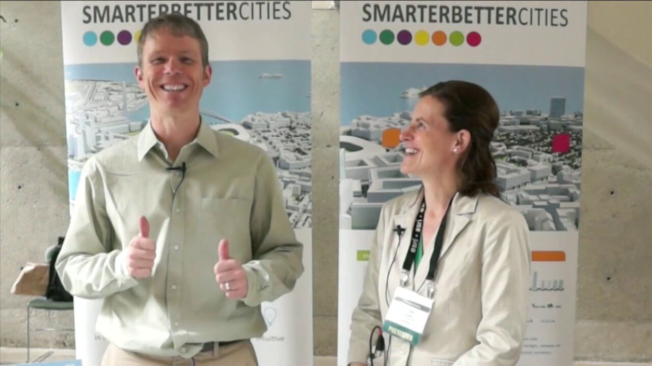
SmarterBetterCities Interview at GeoDesign Summit
4.67K Views1 Comments0 Likes
Todd Danielson interviews Antje Kunze, CEO and founder of SmarterBetterCities, which is based out of Zurich, Switzerland. They discuss the software company's vision for holistic urban planning as well as its tools for achieving those goals.
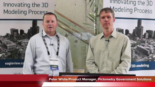
Pictometry/EagleView Interview at GeoDesign Summit
3.20K Views0 Comments0 Likes
Todd Danielson interviews Peter White, product manager and business analyst for Pictometry. They discuss how oblique imagery can help create better 3-D models as well as the future possibilities of a potential company acquisition.

Richard Humphrey Autodesk Interview (Short Version)
4.19K Views0 Comments0 Likes
In this condensed version, Todd Danielson interviews Richard Humphrey, senior director, Infrastructure Products, Autodesk. They discuss how technology can help "bridge the gaps" in infrastructure spending, simulation services, and large-scale modeling.

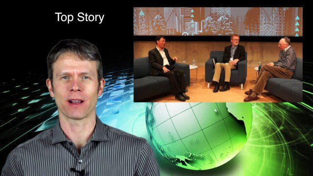
2_12 Roger Tomlinson Broadcast (GeoDesign Summit, Tomlinson Tribute, Landsat 8 and More)
7.75K Views1 Comments0 Likes
This GeoSpatial Stream broadcast discusses Esri's GeoDesign Summit; the recent passing of Roger Tomlinson, "The Father of GIS"; Landsat 8's birthday; climate change and national security; woodland conservation; geospatial gaming technology; and more.

Roger Tomlinson Tribute (Excerpt)
2.60K Views0 Comments0 Likes
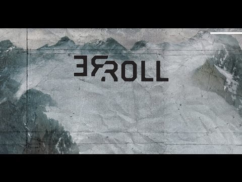
ReROLL Game Using Geotech
1.76K Views0 Comments0 Likes
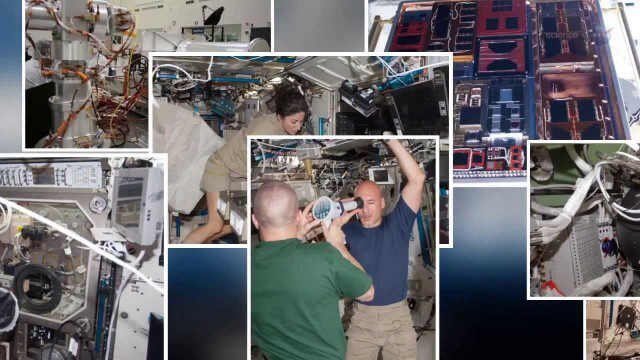
International Space Station Gets a Ten-Year Extension
2.49K Views0 Comments0 Likes
2_18 Asia-Pacific Broadcast (China’s Ecological Infrastructure, TeLEOS-1 Satellite, Alibaba Mapping Offer and More)
6.50K Views0 Comments0 Likes
This Asia-Pacific-focused GeoSpatial Stream broadcast discusses Kongjian Yu's efforts in China's ecological infrastructure; the TeLEOS-1 Earth-imaging satellite; the Geological Survey of India; Alibaba's offer for AutoNavi; the "other" Great Wall of China mapping; Skybox Imaging in Australasia; and more.

600 km Above Earth’s Surface with HD Video (Skybox Imaging)
5.74K Views0 Comments0 Likes


