
Browse Archives
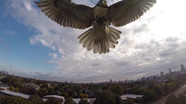
Hawk Attacks a Drone
2.20K Views0 Comments0 Likes
A hawk is recorded attacking (and defeating) an aerial drone.
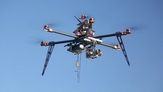
Drones for Aerial Survey and 3D Modelling Updated
2.20K Views0 Comments0 Likes
This video replaces an earlier upload demonstrating the extraction of 3D detail for buildings and/ or terrain from high resolution drone aerial photographs using photogrammetry and geo-referencing. This version includes high definition footage from a simulated autonomous circular aerial survey of an industrial asset, incorporating VidiAir's precision ground survey control points (significantly more accurate than Google Earth), EMF/ RF protection and laser range-finding with telemetry - an important consideration when flying in close proximity to structures/ obstacles, particularly in gusting winds.
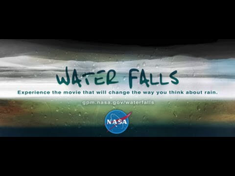
NASA | WATER FALLS Movie Trailer
2.22K Views0 Comments0 Likes
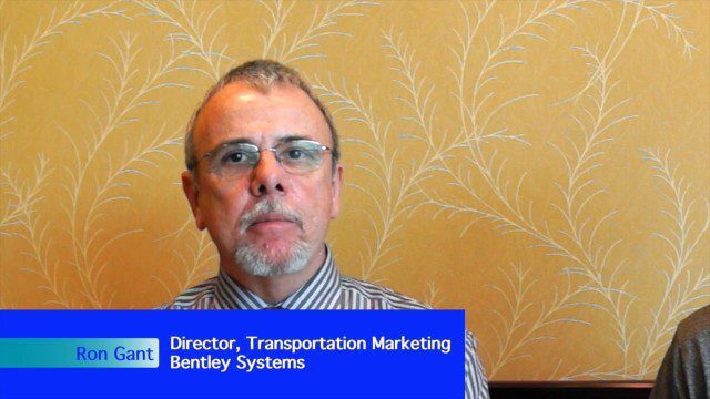
Bentley’s Ron Gant Discusses Roads and Recent Acquisitions
2.22K Views0 Comments0 Likes
Ron Gant is the Director of Transportation Marketing at Bentley Systems, and he spoke with V1 Media's Todd Danielson at SPAR International, which was held March 30-April 2, 2015, in Houston, Texas. They discussed the transportation industry and Bentley's role there, asset management, Bentley's acquisition of Acute3D, the value of hosting an event in Houston, and more.
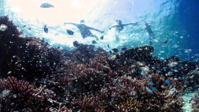
Help Protect Our Ocean
2.23K Views0 Comments0 Likes
Whether you live on the coast or hours from the closest beach, we all depend on the ocean. The ocean is critical to maintaining life on Earth, contributing to our livelihoods and our well-being. Yet, the ocean is facing significant challenges, such as unsustainable fishing practices, marine pollution, and ocean acidification. The good news is that there are solutions.
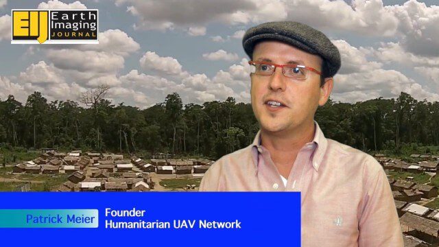
Using Drones to Provide Insight for Disaster Recovery
2.23K Views0 Comments0 Likes
The V1 Video team spoke to Patrick Meier at the Commercial UAV Expo. Meier is a thought leader on humanitarian technology and innovation as well as founder of the Humanitarian UAV Network (UAViators), which has worked in the Philippines to help in the recovery of Cyclone Pam and in Nepal for response to the recent earthquake. We talked about the growing utility of UAVs as well as the use of automation and crowdsourcing to reduce the time and burden of analysis.

Commercial UAV Expo Video
2.23K Views0 Comments0 Likes
This video promotes the upcoming Commercial UAV Expo being held in Las Vegas in October 2015.
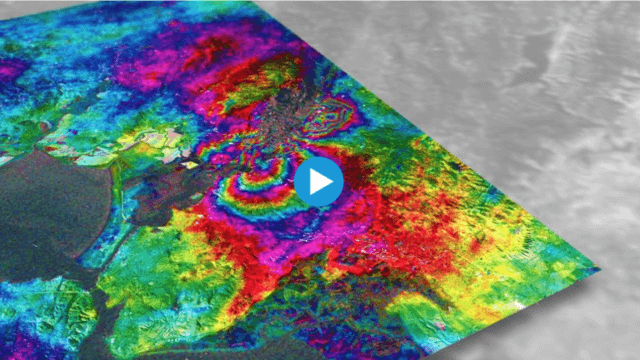
Earthquake Monitoring with Radar Satellites
2.25K Views0 Comments0 Likes
Radar satellite missions can measure millimetre-scale changes in Earth’s surface following an earthquake. On 24 August 2014, an earthquake struck California’s Napa Valley. By processing two images from the Sentinel-1A radar satellite, which were acquired on 7 August and 31 August 2014 over this wine-producing region, an 'interferogram' was generated showing ground deformation.
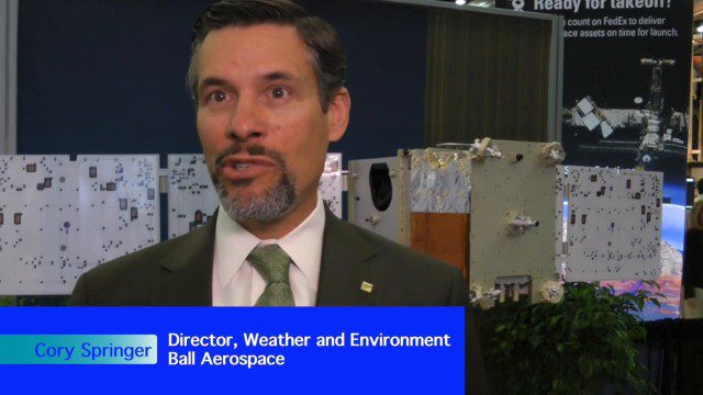
Environmental Applications Hold Promise for Ball Aerospace
2.25K Views0 Comments0 Likes
Ball Aerospace has been involved with the commercial and government sides of Earth-observation satellites for some time, including instrument and satellite construction for DigitalGlobe as well as the primary imager for the Landsat 8 satellite. Earth Imaging Journal spoke with Cory Springer, director of weather and environment at Ball Aerospace, about the prospects for environmental monitoring, the need to continue the data record for the Landsat program, the CAVIS instrument on DigitalGlobe’s WorldView-3 satellite that removes the impact of weather on the image, and the motivating role of the International Space Symposium.

RideAmigos UNITY
2.26K Views0 Comments0 Likes
Uniting entities that create the data needed to provide rich visualizations and insights into commuter habits globally, Unity enables unlimited public and private networks within a region to create behavioral changes and eliminate traffic by allowing users to sync data to Esri ArcGIS software for modal analysis. Users can also explore how each mode contributes to greenhouse gas emissions and climate change.


