
Browse Archives
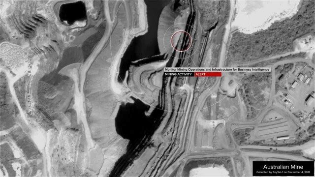
Skybox Imaging Captures World’s First High-Resolution, HD Video of Earth from Space
3.60K Views0 Comments0 Likes
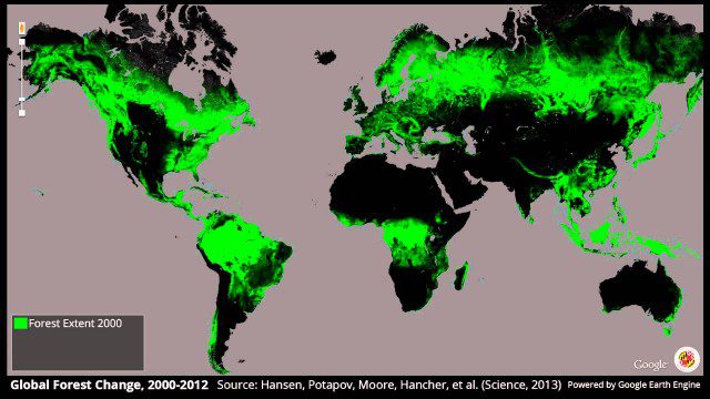
Global Forest Change, 2000-2012
2.19K Views0 Comments0 Likes
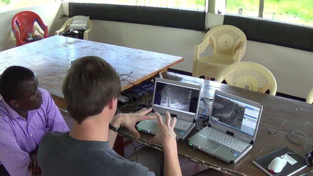
Poachers Beware: Airware Demonstrates a Drone to Protect African Rhinos
2.10K Views0 Comments0 Likes
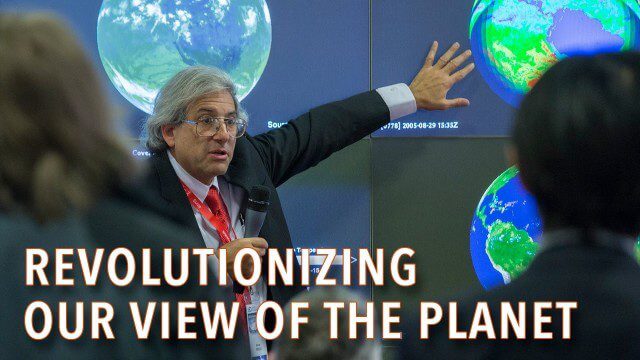
How Satellites Have Revolutionized Our Understanding of Our Home Planet
2.31K Views0 Comments0 Likes
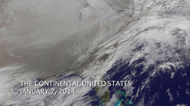
The Polar Vortex Explained in 2 Minutes
2.11K Views0 Comments0 Likes
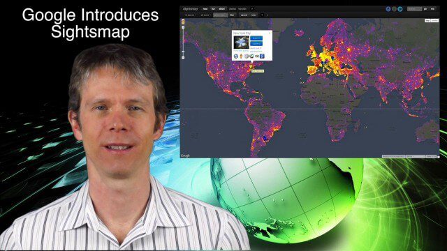
1_23 Commercial Satellite Broadcast (Google Sightsmap, Road Safety Map, Rhino Poaching and More)
4.58K Views0 Comments0 Likes
This GeoSpatial Stream broadcast investigates the commercial satellite imagery market; Google's Sightsmap; the WHO Road Safety map; Rhino poaching; business dealings of GRAPHISOFT, Trimble, Sputnik Enterprises; and more.
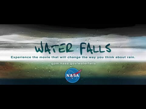
NASA | WATER FALLS Movie Trailer
2.22K Views0 Comments0 Likes

Kids Making Sense Environment Mapping
2.73K Views0 Comments0 Likes
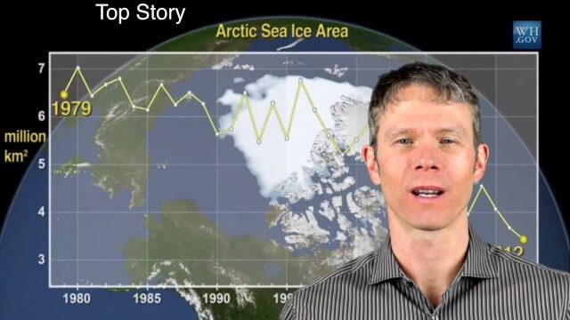
1_28 Climate Change Broadcast (Polar Vortex, China’s Pollution Plumes, Broadband Mapping and More)
10.49K Views0 Comments0 Likes
This GeoSpatial Stream broadcast examines the latest effects of Climate Change on the Polar Vortex; China's pollution plumes monitored from space; Kids Making Sense; broadband mapping; the latest announcements from Boundless, Cityworks, Fugro Pelagos and Blue Marble Geographics; and more.

Valarm Interview at GeoDesign Summit
3.09K Views0 Comments0 Likes
Todd Danielson interviews a team from Valarm, including Lorenzo Gonzalez, CEO and Software Architect, and Edward Pultar, President and Spatial Scientist. They discuss the company's vision, its clients and how its software assimilates sensor information.


