
Tag: V1 Media
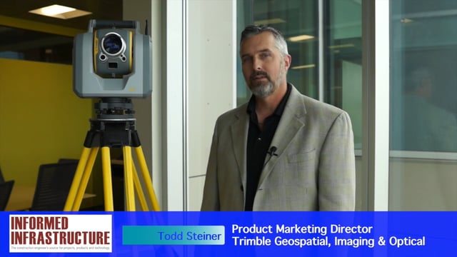
Trimble SX10 Scanning Total Station Brings “Both Worlds” to Surveyors
4.10K Views0 Comments0 Likes
Informed Infrastructure and V1 Media interviewed Todd Steiner, Product Marketing Director, Trimble Geospatial, Imaging & Optical Division, at the corporate launch of the company's new SX10 scanning total station. He discussed how combining a laser scanner with a total station is expected to be a "game changer" for surveyors who will no longer need to decide on one or the other technology before heading to the field.
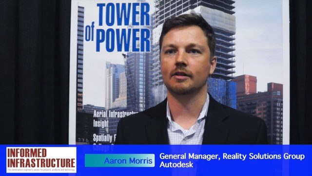
Autodesk and the Future of the Built Environment
4.55K Views0 Comments0 Likes
The V1 Video team interviewed Aaron Morris, General Manager of the Reality Solutions Group at Autodesk, at the 2016 SPAR 3D Expo and Conference, held April 11-14 in The Woodlands, Texas. He discusses several new developments at Autodesk, including the company's ReCap products and its new pricing model, new data services to make analysis easier, scan-to-mesh services for asset management, and how reality capture will replace existing methods of asset documentation.
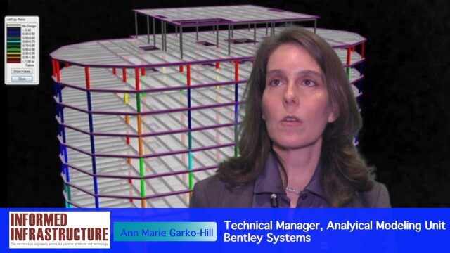
Software Interoperability Leads to Engineering Productivity
4.74K Views0 Comments0 Likes
The V1 Video team interviewed Anne Marie Garko-Hill, Technical Manger, Analytical Modeling Unit, Bentley Systems, at the 2016 NASCC: The Steel Conference, held April 13-15 in Orlando, Fla. She discusses engineers' desire for maximum productivity, Bentley Systems' affinity for developers with design experience, the benefits of Bentley software for its users, and how interoperability leads to greater productivity.
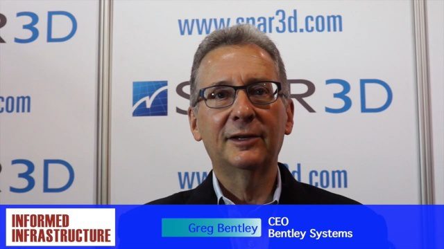
Greg Bentley Talks Reality Modeling and the Future of 3D Tech
4.74K Views0 Comments0 Likes
The V1 Video team interviewed Greg Bentley, CEO of Bentley Systems, at the 2016 SPAR 3D Expo and Conference, held April 11-14 in The Woodlands, Texas. In Part I, he provides his insight into reality modeling, the differences between a reality mesh and a point cloud, new tools for improved engineering and the future of 3D technology.
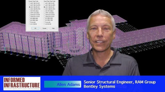
The Challenges and Benefits of Interoperability
4.78K Views0 Comments0 Likes
The V1 Video team interviewed Allen Adams, Senior Structural Engineer, RAM Group, Bentley Systems, at the 2016 NASCC: The Steel Conference, held April 13-15 in Orlando, Fla. He discusses the major challenges of interoperability in the infrastructure industry, Bentley Systems' approach to these difficulties, what it looks like when data isn't open to others within an organization, and how Bentley software saves its clients time and money.

7_23 Esri UC Broadcast (Video Recap, Exhibitor News and More)
5.86K Views0 Comments0 Likes
This GeoSpatial Stream broadcast covers news and events from the recent Esri User Conference in San Diego, including a video recap of speakers and topics; news from Esri on the Special Achievement in GIS Awards, its Tapestry Segmentation system and a partnership with European Schoolnet; exhibitor news from Topcon Positioning Group, Airbus Defense and Space, LizardTech and Scene Sharp; a clip from an interview with Jack Dangermond, Esri's president and founder; and more.
Greg Bentley Discusses Reality Modeling Worldwide
6.37K Views0 Comments0 Likes
The V1 Video team interviewed Greg Bentley, CEO of Bentley Systems, at the 2016 SPAR 3D Expo and Conference, held April 11-14 in The Woodlands, Texas. In Part II, he discusses how reality modeling is being applied in several locations across the world, the impacts such modeling is having in expanding the user base beyond engineering and how reality modeling can provide substantial return on investment.

Jack Dangermond Addresses Climate Change and the Importance of GeoDesign (3 of 4)
9.45K Views0 Comments0 Likes
In the third of four installments, Todd Danielson interviews Jack Dangermond, President and Founder, Esri, at the 2014 Esri User Conference in San Diego. Jack talks about the Climate Resilience App Challenge, meeting the president and working on climate issues, and the importance of GeoDesign and its growing acceptance and use.

Capturing the Iconic Red Rocks Park and Amphitheater
9.96K Views1 Comments0 Likes
The V1 Video Team made a site visit to Red Rocks Amphitheater and Park to capture video interviews and witness an ambitious drone-based reality-capture exercise to photograph and model the mountain park. The visualization team from engineering firm Kimley-Horn captured the area for the City and County of Denver, which owns and maintains the park. Autodesk and its partner 3D Robotics were on hand to demo their collaboration on SiteScan, which creates an automated workflow from drone capture to use within Autodesk’s modeling software. The mission had many purposes, including historical archiving of the park, modeling stormwater erosion, tracking trail maintenance, and building acoustics and lighting models for the amphitheater.

Jack Dangermond Discusses User Conference Highlights, GIS “Critical Mass” (1 of 4)
11.26K Views0 Comments0 Likes
In the first of four installments, Todd Danielson interviews Jack Dangermond, President and Founder, Esri, at the 2014 Esri User Conference in San Diego. Jack covers event highlights such as GIS aiding the fight against polio in Africa, new technologies introduced, and reaching a "critical mass" of development and use in the industry.


