
Tag: Todd Danielson

6_2 GPS Broadcast (Topo Maps, Napoleon, HxGN LIVE, More)
3.86K Views0 Comments0 Likes
This GeoSpatial Stream broadcast includes a tribute to the "founder of GPS," Roger Easton, and discusses new USGS Topo maps; cloud computing frameworks; a book featuring the famous Minard Map of Napoleon's Russian Campaign of 1812; BlackBridge financing; World Cup Stadium images from Airbus; and an upcoming trip to HxGN LIVE in Las Vegas, Nevada.
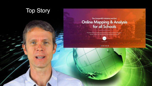
5_29 Education Broadcast (Esri ConnectED, Greenland Glaciers and More)
4.03K Views0 Comments0 Likes
This GeoSpatial Stream broadcast discusses Esri's billion-dollar donation to Obama's ConnectED program for K-12 students; new NASA data showing Greenland's glaciers will have more impact on sea-level rise than originally thought; a report on the global space economy; industry news from Raytheon and Blue Marble Geographics; a video showing the power of geospatial tools in young students' hands; and more.

5_22 Remote-Sensing Broadcast (Space Symposium, WorldView-3 and More)
6.32K Views0 Comments0 Likes
This GeoSpatial Stream broadcast covers a variety of remote-sensing topics, such as the recent Space Symposium in Colorado; a preview of DigitalGlobe's WorldView-3 satellite; a special report on micro-satellites; industry news from Airbus Defence and Space, BAE Systems, Teledyne, and NASA; and more.

5_15 Asia-Pacific Broadcast (Sri Lanka Transit GIS, China World Map and More)
3.79K Views0 Comments0 Likes
This Asia-Pacific-focused GeoSpatial Stream broadcast discusses a train accident in Sri Lanka and how a new GIS may prevent future collisions; India's groundwater mapping; China's World Map online; Australia's 2014 Esri Young Scholars Award winner; industry headlines from Trimble, Tencent and NavInfo, and NZ Aerial Mapping; the World Under Water Web site; and more.
Vector1 Media Focuses on the Future with B2B Veterans and a Multimedia Roadmap
6.32K Views0 Comments0 Likes
Vector1 Media LLC welcomes new members Kevin Carmody and Patrick Krill, makes investments in our online platforms, including an AIA accredited continuing-education site that is coming soon, and extends the reach of multimedia throughout our different channels.

5_8 Infrastructure Broadcast (ETOD, Global Smart City Rankings and More)
3.43K Views0 Comments0 Likes
This infrastructure-focused GeoSpatial Stream broadcast discusses Equitable Transit-Oriented Development (ETOD); a Global Smart City Ranking; the King County Multi-Family Residential Parking Calculator; historic Denver Union Station's transit makeover; GEOSS; news from Bentley Systems, Esri, Leica Geosystems and Agency9; and more.

Doug Smith Interview (Avenza Systems)
3.07K Views0 Comments0 Likes
Todd Danielson interviews Doug Smith, Director, Sales & Marketing, Avenza Systems, at the GEOINT Symposium in Tampa, Florida. They discuss Avenza's key products, including MAPublisher, Geographic Imager and its new PDF Maps app. All the products work with Adobe products for increased design functionality while maintaing location integrity.

Ton de Vries Interview
23.54K Views0 Comments0 Likes
Todd Danielson interviews Ton de Vries, solutions executive, Bentley Systems. They talk about 3D City Models, Hypermodeling and the importance of Standards.

Spike Kickstarter Video from ikeGPS
3.86K Views0 Comments0 Likes
Spike is the world’s first laser accurate Smartphone measurement solution enabling you to safely and accurately measure an object up to 600 feet (200 m) away. With a simple snap from your Smartphone, you can measure height, width, and area from a photo, and capture target location. Measurement and location are saved with the picture, and can be easily shared via email as a PDF or Spike File (XML).

9_27 Climate Change Broadcast (Latest Data, Satellite Launches and More)
1.92K Views0 Comments0 Likes
This GeoSpatial Stream looks at the latest data on climate change from NOAA and NASA, including more record temperatures, flooding and shrinking sea ice; new satellites from Google's Terra Bella and Peru; Esri's new way of measuring oceans: the EMU; industry news from Phase One Industrial, TerraGo, Datumate and Satlab Geosolutions; a video of drone imaging for ESA's deep-space tracking system; and more.


