Tag: ILMF
Harris Geospatial’s Geiger-Mode LiDAR Changing Industry
0 Views0 Comments0 Likes
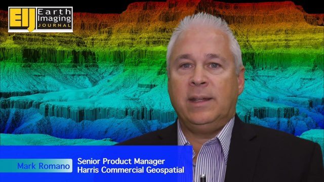
The V1 Video team spoke with Mark Romano, Senior Product Manager, Harris Commercial Geospatial, at the ILMF 2016 event held in Denver in February 2016. He spoke about the major differences between traditional LiDAR and Geiger-Mode LiDAR acquisition and data, Harris acquiring Exelis, and the new types of customers and projects that Geiger-Mode LiDAR allows.
Trimble Providing a Complete Aerial Mapping Solution
0 Views0 Comments0 Likes
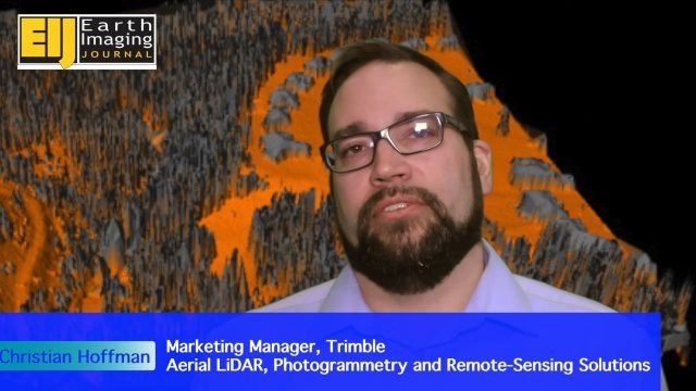
The V1 Video team spoke with Christian Hoffman, Marketing Manager for Trimble's Aerial LiDAR, Photogrammetry and Remote-Sensing Solutions, at the ILMF 2016 event held in Denver in February 2016. He spoke about Trimble's complete packages for LiDAR acquisition, including the AX60i, AX60 and AX80 hardware as well as the company's Inpho and eCognition software.
Trimble’s Mobile Mapping Systems Enabling Greater Access
0 Views0 Comments0 Likes
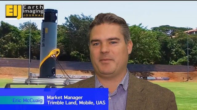
The V1 Video team spoke with Eric McCuaig, Market Manager for Trimble's Land, Mobile and UAS Systems, at the ILMF 2016 event held in Denver in February 2016. He spoke about the company's new MX7 mobile-mapping product and its applications as well as the importance of ease of use in modern systems.
Patrick Collins Interview
0 Views0 Comments0 Likes
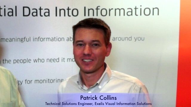
Matt Ball interviews Patrick Collins, Technical Solutions Engineer, Exelis Visual Information Solutions. They discuss the increasing size of LiDAR data and the tools to handle such volume as well as the variety of ways image data can be analyzed, including automated feature extraction.
Nick Palatiello Interview
0 Views0 Comments0 Likes
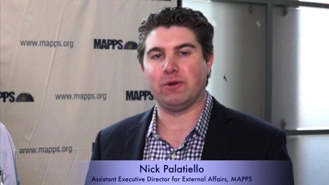
Matt Ball interviews Nick Palatiello, Assistant Executive Director for External Affairs, MAPPS. They discuss the lobbying organization's history, agenda and how it works with government officials to advocate for the geospatial profession.
3_6 ILMF Broadcast (Conference Recap, USGS News, Aerial Imagery Market and More)
0 Views0 Comments0 Likes
This GeoSpatial Stream broadcast discusses the recent International LiDAR Mapping Forum, important USGS news, the future of the aerial imagery market, a map contest, and more.
Ron Roth and Anders Ekelund Interview
0 Views0 Comments0 Likes
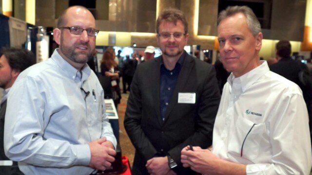
Matt Ball interviews Ron Roth, product manager, Airborne LiDAR, Leica Geosystems, and Anders Ekelund, managing director, Airborne Hydrography AB. They discuss Leica's acquisition of Airborne Hydrography AB and the bathymetric products the company creates, including its Chiroptera system.

