Tag: geospatial technology
6_2 GPS Broadcast (Topo Maps, Napoleon, HxGN LIVE, More)
0 Views0 Comments0 Likes
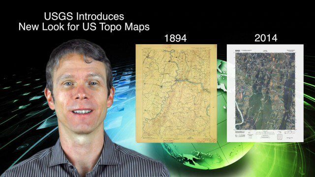
This GeoSpatial Stream broadcast includes a tribute to the "founder of GPS," Roger Easton, and discusses new USGS Topo maps; cloud computing frameworks; a book featuring the famous Minard Map of Napoleon's Russian Campaign of 1812; BlackBridge financing; World Cup Stadium images from Airbus; and an upcoming trip to HxGN LIVE in Las Vegas, Nevada.
5_22 Remote-Sensing Broadcast (Space Symposium, WorldView-3 and More)
0 Views0 Comments0 Likes
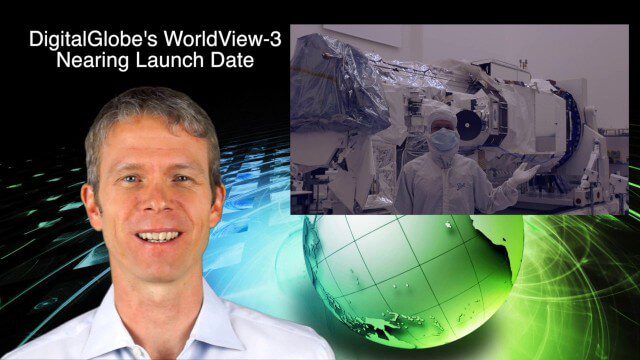
This GeoSpatial Stream broadcast covers a variety of remote-sensing topics, such as the recent Space Symposium in Colorado; a preview of DigitalGlobe's WorldView-3 satellite; a special report on micro-satellites; industry news from Airbus Defence and Space, BAE Systems, Teledyne, and NASA; and more.
5_15 Asia-Pacific Broadcast (Sri Lanka Transit GIS, China World Map and More)
0 Views0 Comments0 Likes
This Asia-Pacific-focused GeoSpatial Stream broadcast discusses a train accident in Sri Lanka and how a new GIS may prevent future collisions; India's groundwater mapping; China's World Map online; Australia's 2014 Esri Young Scholars Award winner; industry headlines from Trimble, Tencent and NavInfo, and NZ Aerial Mapping; the World Under Water Web site; and more.
3_18 Asia-Pacific Broadcast (Malaysia Flight 370, “Smog-Busting Drones,” Shark Cameras and More)
0 Views0 Comments0 Likes
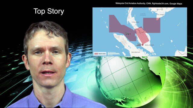
This Asia-Pacific-focused GeoSpatial Stream broadcast discusses the mysteries of Malaysia Flight 370 and geospatial technology’s role, China’s “War on Pollution” enlisting drone smog fighters, Afghanistan resource maps, a youth GIS contest, and more.


