Tag: data
2017 Drone Data Race
4.26K Views0 Comments0 Likes
On April 22, 2017, the Aerial and Aquatic Robot Research group (AARR) of the California State University Channel Islands hosted the first Drone Data Race in Camarillo, CA.
Greg Bentley Interview Part 1: Favorite Projects and BIM Advancements
3.42K Views0 Comments0 Likes
Informed Infrastructure interviewed Greg Bentley, the CEO of Bentley Systems, at the Year In Infrastructure Event held Nov. 1-3, 2017, at the Hilton London Metropole. In Part 1 of this interview, he discusses some of his favorite finalists and winners from the event as well as the latest advances in BIM that create a connected data environment.
OcuTech 360 Video Mapping
3.65K Views0 Comments0 Likes
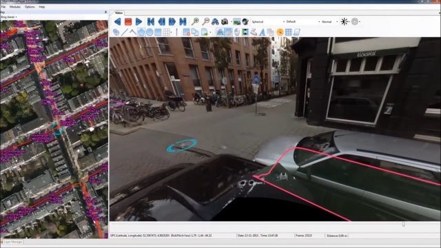
OcuTech 360 is an inclusive provider of 360 degree visual technologies that are applied in geospatial mapping. Thanks to state of the art hardware and software, you can now digitize infrastructure and interact with data in 3D space, take 3D measurements, and annotate. For more info, please visit ocutech360.com or contact [email protected].
Hurricane Forecasts Rely on Modeling the Past
988 Views0 Comments0 Likes
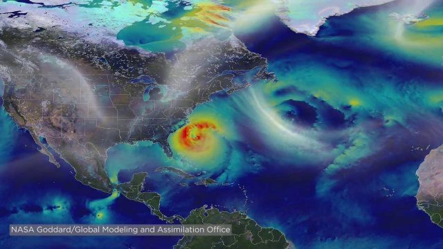
Improving hurricane forecasts means testing historical storms with today's sophisticated models and supercomputers. NASA and NOAA work together in gathering ground and satellite observations, as well as experimenting with research forecast models. As a result of this collaboration, model resolution has increased, and scientists are discovering more about the processes that occur within these powerful storms. The Global Precipitation Measurement (GPM) Mission is a joint NASA and Japan Aerospace Exploration Agency (JAXA) mission that measures all forms of precipitation around the globe. GPMs Microwave Imager, or GMI, has proven useful in seeing beneath the swirling clouds and into the structure of tropical cyclones. The information gathered by GPM and other missions will be used to improve forecast models.
GEOSS Functions and Main Components
2.05K Views0 Comments0 Likes
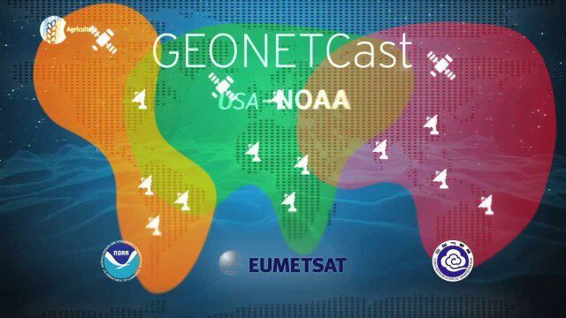
Infrastructure and Data: The Global Earth Observation System of Systems (GEOSS) functions and main components, sustainability, user access and benefits.


