
tdanielson / Added Videos

National Forest Monitoring and Assessment Program
1.79K Views0 Comments0 Likes
The National Forest Monitoring and Assessment program.
Fujisawa Sustainable Smart Town Goes Into Full-Scale Operation
3.30K Views0 Comments0 Likes
Fujisawa SST begins full-scale operation, following the completion of “Fujisawa SST SQUARE,” its core facility.
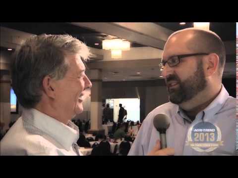
The Farm Forum Event 2013: Matt Ball Interview
2.05K Views0 Comments0 Likes
Matt Ball is the founder and editor of Vector1 Media, with publications Sensors & Systems, Informed Infrastructure and Asian Surveying & Mapping. He has been promoting the application of sensors, systems, models and simulation for the better stewardship of our planet for the past 15 years. The first ten years of that span were as editor of GeoWorld magazine and show manager of the GeoTec Event, Canada's largest GIS conference.
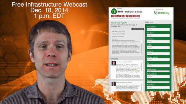
12_11 Infrastructure Broadcast (Autodesk University, Bentley Webcast and More)
3.77K Views0 Comments0 Likes
This GeoSpatial Stream broadcast discusses infrastructure news and videos, including highlights from Autodesk University (AU) in Las Vegas; a Bentley Systems/Informed Infrastructure Webcast on Steel Fabrication; The Nature Conservancy's Urban Water Blueprint; industry news from Topcon Positioning Group, Intergraph and Mott MacDonald; video clips from AU keynotes; and more.
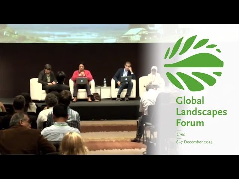
Making Forest Information Systems Work for REDD+ and Beyond
2.01K Views0 Comments0 Likes
Watch this discussion forum from the second day of the Global Landscapes Forum 2014, in Lima, Peru, during COP20. More and more countries have established and institutionalized sustainable, long-term and multi-purpose information systems in the context of REDD+ to support well-informed national policy formulation and decision making at different levels, and to meet national and international reporting needs. This panel discusses if they are used beyond estimating carbon stocks, how they improve global estimates and information, and how they can be most cost effective.
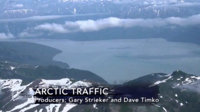
Arctic Traffic
2.37K Views0 Comments0 Likes
As climate change melts sea ice and opens the Arctic Ocean to more shipping and oil exploration, marine mammals and native people in small boats are at risk. Watch this video from This American Land and then read a related article from Earth Imaging Journal at http://eijournal.com/print/articles/monitoring-polar-changes-scientists-deploy-many-tools-to-measure-sea-ice-thickness to learn more on this topic.
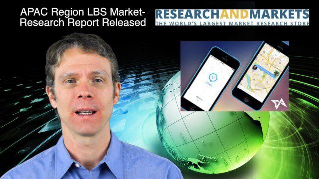
12_18 Asia-Pacific Broadcast (Cultural Heritage, APAC LBS Market and More)
3.98K Views0 Comments0 Likes
This Asia-Pacific-focused GeoSpatial Stream broadcast discusses a Cultural Preservation survey project in LaoSiCheng, China; a market-research report on the APAC region's LBS market; a V1 Media interview with a Bentley Systems Year in Infrastructure award winner from China; industry headlines from Paragon Software Systems, SkyTraq Technology Inc., Supergeo Technologies and Hamon Thermal Co.; and more.
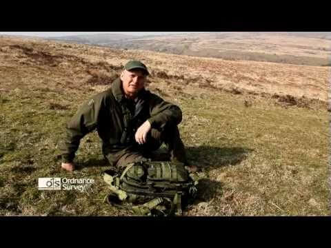
Read a Map and Use a Compass
1.53K Views0 Comments0 Likes
Simon King and Ordnance Survey provide basic instruction on map and compass use.
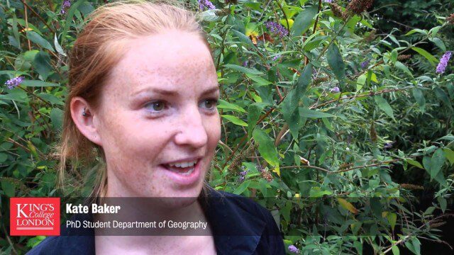
Environmental Geography
2.07K Views0 Comments0 Likes
Students deploy river-temperature sensors to make environmental predictions.
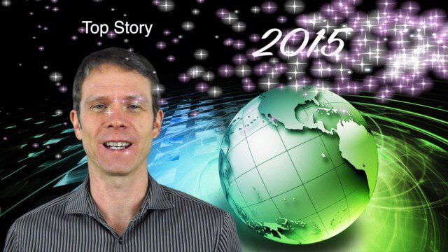
1_8 New Year Broadcast (10 Predictions for 2015, AirAsia Flight and More)
3.91K Views0 Comments0 Likes
This GeoSpatial Stream broadcast looks back at 2014 and ahead to 2015, including the Top Ten Predictions for 2015; the tragic Indonesia AirAsia Flight 8501; industry news from Cadcorp, the Space Foundation and Elsevier; a roundup of important milestones from 2014; and more.


