
Monthly Archives: September 2014

What Is the Geodesign Summit?
29.98K Views6 Comments0 Likes
Esri's annual Geodesign Summit has been a key element in moving the geodesign movement forward. This video from GeoSpatial Stream summarizes some of the important geodesign concepts as well as how Esri's conference informs and motivates those interested in designing a better and smarter built environment.
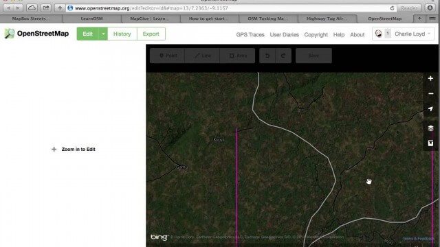
Tracing Demonstration for the Humanitarian OpenStreetMap Team (HOT)
1.53K Views0 Comments0 Likes
This is a simple demonstration of what it looks like to trace for the Humanitarian OpenStreetMap Team (HOT). It’s not meant as a full guide, just an example. If I’m too mumbly, please turn on the captions – the CC button below the video.
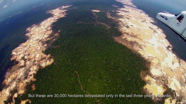
Shocking Images of Environmental Devastation in Peruvian Rainforest
3.12K Views0 Comments0 Likes
Güido Lombardi, a Peruvian journalist, tells in his news radio program at RPP Noticias the impressions that he got after overflying the affected areas by the illegal mining in Madre de Dios, in the Peruvian rainforest. These images where captured by the Carnegie Airborne Observatory.
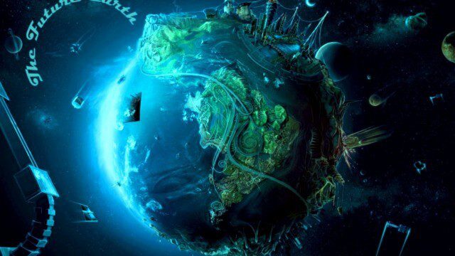
Planet Earth 100 Million Years In The Future – What will happen to our world?
4.31K Views0 Comments0 Likes
Planet Earth 100 Million Years In The Future - What will happen to our world? This is an HD documentary from WORLD GEOGRAPHIC CHANNEL.
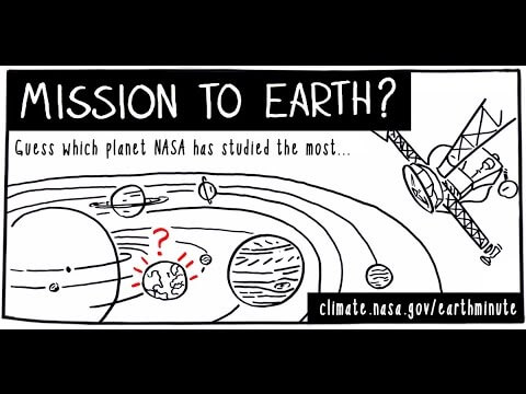
NASA’s Earth Minute: Mission to Earth?
1.69K Views0 Comments0 Likes
NASA doesn't just explore outer space! Since 1959, with the launch of the first weather satellite, NASA has been studying our home planet on a global scale. NASA monitors Earth's vital signs via satellites and airplanes, sends scientists to the far corners of the land and under the ocean, and develops computer models of Earth's climate processes. Why? Because Earth is the only planet that nearly eight billion people call "home sweet home."

NASA NIMBUS: Recovering the Past
2.30K Views0 Comments0 Likes
50 years ago, NASA launched Nimbus to study Earth from space. Now, experts at the National Snow and Ice Data Center (part of CIRES), are recovering valuable data and images from old, long-lost film, and expanding their understanding of sea ice in the Arctic and Antarctic. Learn more from CIRES on the 1-year anniversary of Nimbus' first image:

NASA Intro to LIDAR
2.30K Views0 Comments0 Likes
Want to know the 3D shape of terrain on another planet? Want to study the height and density of Earth's forests? An amazing tool called LIDAR can help! Learn more in this video.
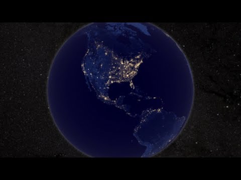
NASA Earth at Night
2.56K Views0 Comments0 Likes
In daylight our big blue marble is all land, oceans and clouds. But the night - is electric. This view of Earth at night is a cloud-free view from space as acquired by the Suomi National Polar-orbiting Partnership Satellite (Suomi NPP).
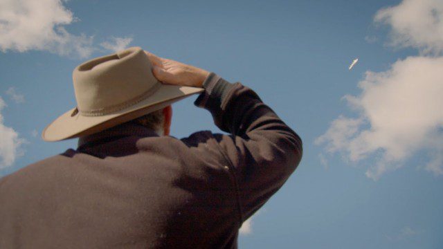
Introducing Google’s Project Wing
4.09K Views0 Comments0 Likes
Project Wing is a Google[x] project that is developing a delivery system that uses self-flying vehicles. As part of our research, we built a vehicle and traveled to Queensland, Australia for some test flights. There, we successfully delivered a first aid kit, candy bars, dog treats, and water to a couple of Australian farmers. We’re only just beginning to develop the technology to make a safe delivery system possible, but we think that there’s tremendous potential to transport goods more quickly, safely and efficiently.
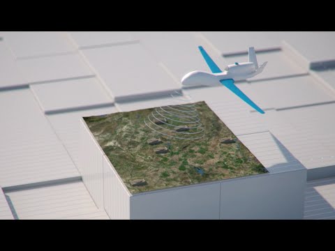
How Joint Intelligence, Surveillance and Reconnaissance Works
2.08K Views0 Comments0 Likes
NATO continues to develop key capabilities to protect the security and freedom of its members. Joint Intelligence, Surveillance and Reconnaissance (JISR) is one of these capabilities. It is a combination of processes, systems, and people, including air, ground, maritime, and space assets, which feed into one “fused” report.


