
Monthly Archives: April 2014
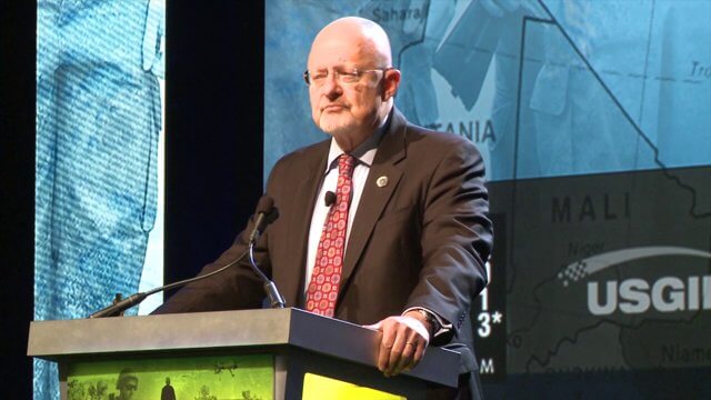
GEOINT Keynote: James Clapper, Director of National Intelligence (Part 2)
2.54K Views0 Comments0 Likes
Part 2 of the GEOINT Symposium keynote address from James Clapper, Director of National Intelligence.

Google’s Project Tango
2.62K Views0 Comments0 Likes
Project Tango is an exploration into giving mobile devices a human-scale understanding of space and motion.

4_2 Infrastructure Broadcast (Landsat and Flood Risk, Cloud-Based Tools, and More)
2.73K Views0 Comments0 Likes
This infrastructure-focused GeoSpatial Stream broadcast discusses how Landsat is helping with flood risk to infrastructure; North Carolina using cloud-based property data; a Regional Road Construction Map in Spokane; industry news from Columbia Pipeline Group, Synergis, Cityworks and Bentley Systems; surveying in the British Virgin Islands; the Technology of Walking; and more.
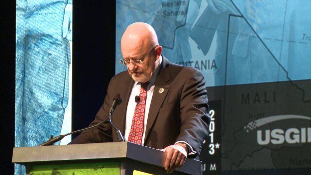
GEOINT Keynote: James Clapper, Director of National Intelligence (Part 1)
2.83K Views0 Comments0 Likes
Part 1 of the GEOINT Symposium keynote address from James Clapper, Director of National Intelligence.
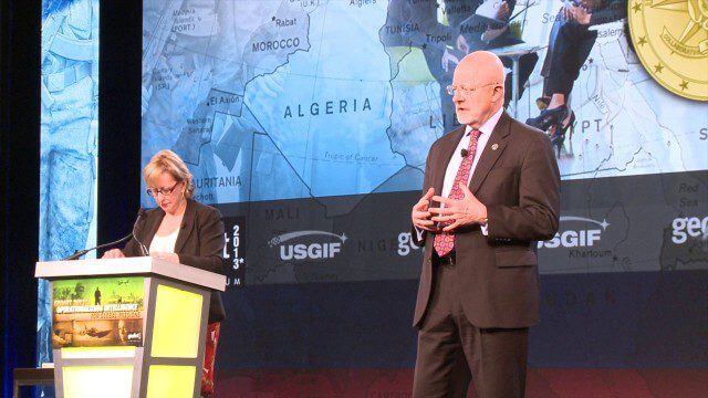
GEOINT Keynote: James Clapper, Director of National Intelligence (Part 4/Q&A)
2.89K Views0 Comments0 Likes
Part 4 of the GEOINT Symposium keynote address from James Clapper, Director of National Intelligence, completing the Q&A session.

Keith Masback Interview (USGIF CEO at GEOINT)
2.98K Views0 Comments0 Likes
Todd Danielson interviews Keith Masback, CEO of the U.S. Geospatial Intelligence Foundation (USGIF), at the GEOINT Symposium in Tampa, Florida. They discuss highlights of the event, the effect of the show's unexpected delay from fall 2013 to spring 2014 and what has changed since then, where and when the next event will be held, how technologies start at GEOINT and "trickle down" into the larger industry, industry integration, the wide range of companies in attendance, and more.

India’s Future Smart City
3.00K Views0 Comments0 Likes
Dholera SIR, Smart City Design and visualization

NASA/JAXA GMI Sensor for Precipitation Measurement
3.14K Views0 Comments0 Likes
On March 10, the Core Observatory passed over an extra-tropical cyclone On March 10, the Core Observatory passed over an extra-tropical cyclone about 1055 miles (1700 kilometers) due east of Japan's Honshu Island. Satellite data shows the full range of precipitation in the storm.

Mike Tully Interview (Aerial Services Inc.)
3.36K Views0 Comments0 Likes
Matt Ball interviews Mike Tully, President and CEO, Aerial Services Inc., at SPAR International in Colorado Springs, Colo. They discuss remote sensing and airborne LiDAR in a variety of industries, sensor diversity, streamlining data delivery, and industry disruption due to unmanned aerial systems.

4_14 Infrastructure Broadcast (Transportation Asset Management, Water Infrastructure Needs, and More)
3.51K Views0 Comments0 Likes
This infrastructure-focused GeoSpatial Stream broadcast discusses Transportation Asset Management; a report on water infrastructure; designs to protect against hurricanes; public-transit ridership; historical map archives; private infrastructure funding; news from Bluesky and Bentley Systems; rainwater-capturing infrastructure in Rotterdam, The Netherlands; and more.


