Monthly Archives: January 2014
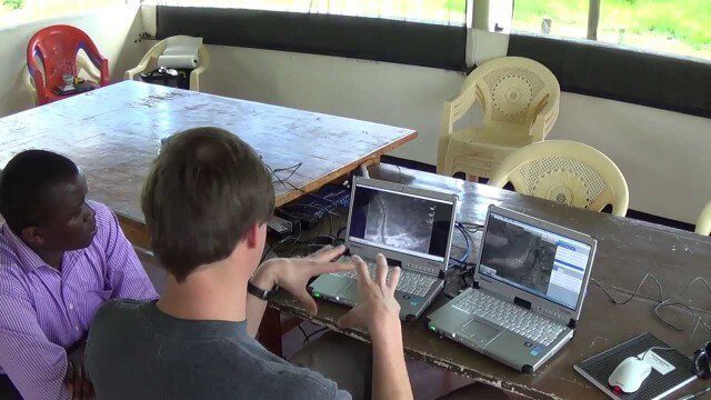
Kids Making Sense Environment Mapping
0 Views0 Comments0 Likes
NASA | WATER FALLS Movie Trailer
0 Views0 Comments0 Likes
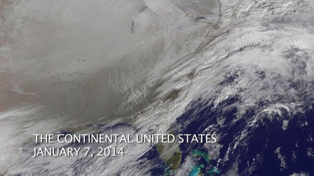
The Polar Vortex Explained in 2 Minutes
0 Views0 Comments0 Likes
1_28 Climate Change Broadcast (Polar Vortex, China’s Pollution Plumes, Broadband Mapping and More)
0 Views0 Comments0 Likes
This GeoSpatial Stream broadcast examines the latest effects of Climate Change on the Polar Vortex; China's pollution plumes monitored from space; Kids Making Sense; broadband mapping; the latest announcements from Boundless, Cityworks, Fugro Pelagos and Blue Marble Geographics; and more.
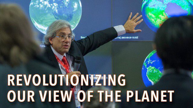
How Satellites Have Revolutionized Our Understanding of Our Home Planet
0 Views0 Comments0 Likes
Poachers Beware: Airware Demonstrates a Drone to Protect African Rhinos
0 Views0 Comments0 Likes
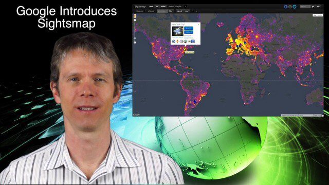
1_23 Commercial Satellite Broadcast (Google Sightsmap, Road Safety Map, Rhino Poaching and More)
0 Views0 Comments0 Likes
This GeoSpatial Stream broadcast investigates the commercial satellite imagery market; Google's Sightsmap; the WHO Road Safety map; Rhino poaching; business dealings of GRAPHISOFT, Trimble, Sputnik Enterprises; and more.
1_21 Open Data Broadcast (Value of Open GeoData, Bee Sensors, GPS/Silicon Valley and More)
0 Views1 Comments0 Likes
This GeoSpatial Stream broadcast discusses the need for governments to make geospatial data open, sensors placed on bees to improve pollination, a GPS/Silicon Valley partnership, new avalanche-monitoring software and more.
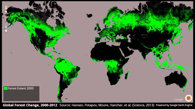
Global Forest Change, 2000-2012
0 Views0 Comments0 Likes
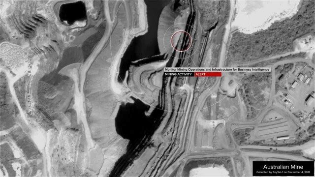
Skybox Imaging Captures World’s First High-Resolution, HD Video of Earth from Space
0 Views0 Comments0 Likes


