
Tag: surveying
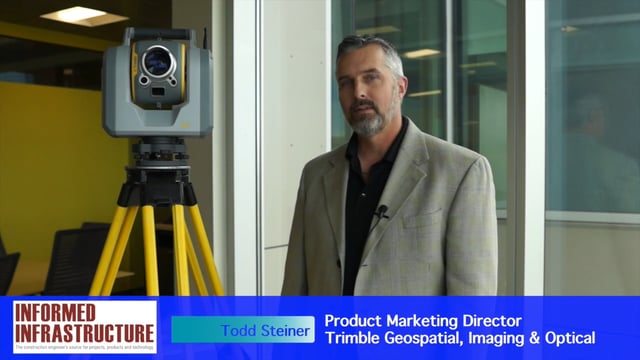
Trimble SX10 Scanning Total Station Brings “Both Worlds” to Surveyors
0 Views0 Comments0 Likes
Informed Infrastructure and V1 Media interviewed Todd Steiner, Product Marketing Director, Trimble Geospatial, Imaging & Optical Division, at the corporate launch of the company's new SX10 scanning total station. He discussed how combining a laser scanner with a total station is expected to be a "game changer" for surveyors who will no longer need to decide on one or the other technology before heading to the field.

Tim Lemmon and Todd Steiner Interview (Trimble)
0 Views0 Comments0 Likes
Matt Ball interviews Trimble's Tim Lemmon, Marketing Director, Geospatial Software Solutions, and Todd Steiner, Marketing Director, Geospatial Imaging Solutions, at SPAR International in Colorado Springs, Colo. They discuss Trimble's integration between hardware and software so customers can make better business decisions, the changing role of the surveyor, and a variety of new hardware and software products.

4_2 Infrastructure Broadcast (Landsat and Flood Risk, Cloud-Based Tools, and More)
0 Views0 Comments0 Likes
This infrastructure-focused GeoSpatial Stream broadcast discusses how Landsat is helping with flood risk to infrastructure; North Carolina using cloud-based property data; a Regional Road Construction Map in Spokane; industry news from Columbia Pipeline Group, Synergis, Cityworks and Bentley Systems; surveying in the British Virgin Islands; the Technology of Walking; and more.

Alistair Stuart, Leica Geosystems, Interview
0 Views0 Comments0 Likes
Matt Ball interviews Alistair Stuart, sales of Airborne Sensors, Leica Geosystems. They discuss Leica's recent purchase of Aibotix and its Aibot X6 hexacopter. Stuart discusses the advantages of the UAS compared to other imagery vehicles in terms of cost, safety and portability.


