
Tag: NASA
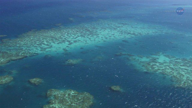
A New View of Coral Reefs
1.33K Views0 Comments0 Likes
A three-year NASA field expedition to examine Earth’s coral reefs is now underway, giving scientists the opportunity to study reef ecology and conditions.
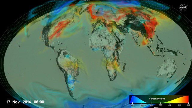
Following Carbon Dioxide Through the Atmosphere
1.30K Views0 Comments0 Likes
Using observations from NASA's Orbiting Carbon Observatory (OCO-2) satellite, scientists developed a model of the behavior of carbon in the atmosphere.

IceBridge Flies 300 Hours of Antarctic Science Flights
1.20K Views0 Comments0 Likes
Operation IceBridge is wrapping up its eighth consecutive field season of mapping the ice sheet and glaciers of Antarctica as well as the surrounding sea ice.
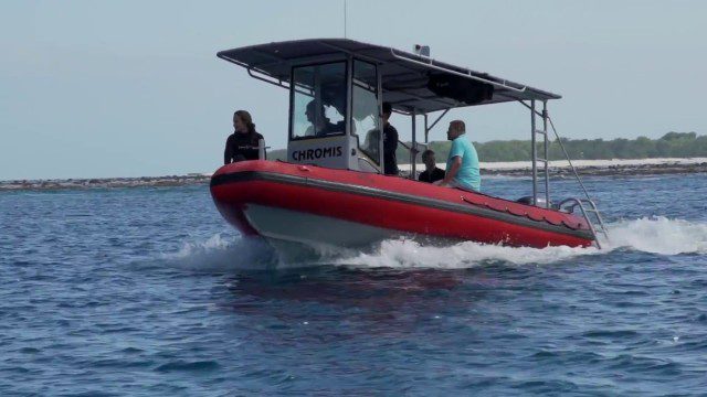
CORAL Probes Great Barrier Reef
1.58K Views0 Comments0 Likes
The three-year COral Reef Airborne Laboratory (CORAL) mission will survey a portion of the world's coral reefs to assess the condition of these threatened ecosystems and understand their relation to the environment, including physical, chemical and human factors.
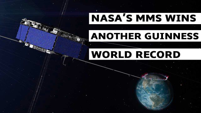
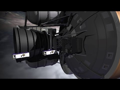
NASA’s MMS Satellite Breaks World GPS Record
1.38K Views0 Comments0 Likes
NASA's MMS mission now holds the Guinness World Record for highest altitude GPS fix: 43,500 miles above Earth’s surface.
SmallSats are the Next Big Thing
1.49K Views0 Comments0 Likes
NASA is about to launch six new next-generation Earth-observing small satellites — some as small as a loaf of bread. These tiny spacecraft are helping to foster creative and cost-effective approaches to studying our planet.
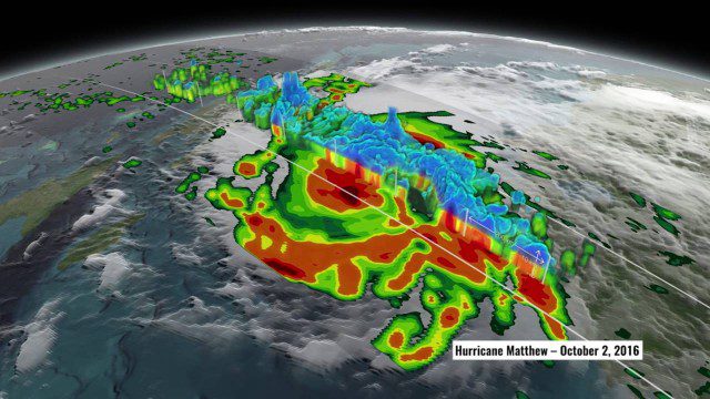
NASA’s 3D View Shows Hurricane Matthew’s Intensity
1.34K Views0 Comments0 Likes
NASA scientists used satellite data to peer into Hurricane Matthew, learning how and why the massive storm changed throughout its course.

9_27 Climate Change Broadcast (Latest Data, Satellite Launches and More)
1.92K Views0 Comments0 Likes
This GeoSpatial Stream looks at the latest data on climate change from NOAA and NASA, including more record temperatures, flooding and shrinking sea ice; new satellites from Google's Terra Bella and Peru; Esri's new way of measuring oceans: the EMU; industry news from Phase One Industrial, TerraGo, Datumate and Satlab Geosolutions; a video of drone imaging for ESA's deep-space tracking system; and more.
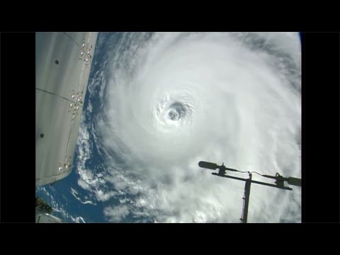
Space Station Orbits Three Hurricanes
1.42K Views0 Comments0 Likes
Cameras outside the International Space Station, 257 miles above Earth, captured spectacular views on Aug. 30, 2016, of three powerful tropical systems churning across the Pacific and Atlantic Oceans.

Mapping an Asteroid with Lasers
1.41K Views0 Comments0 Likes
The OSIRIS-REx Laser Altimeter (OLA) will provide a three-dimensional map of asteroid Bennu’s shape, which will allow scientists to understand the context of the asteroid’s geography and the sample location. OLA is provided by the Canadian Space Agency in exchange for Canadian ownership of a portion of the returned asteroid sample. Credit: NASA’s Goddard Space flight Center/Katrina Jackson


