Tag: Leica Geosystems
5_8 Infrastructure Broadcast (ETOD, Global Smart City Rankings and More)
0 Views0 Comments0 Likes
This infrastructure-focused GeoSpatial Stream broadcast discusses Equitable Transit-Oriented Development (ETOD); a Global Smart City Ranking; the King County Multi-Family Residential Parking Calculator; historic Denver Union Station's transit makeover; GEOSS; news from Bentley Systems, Esri, Leica Geosystems and Agency9; and more.
Digital Surveying Improves with Mobility and Multiple Sensors
0 Views0 Comments0 Likes
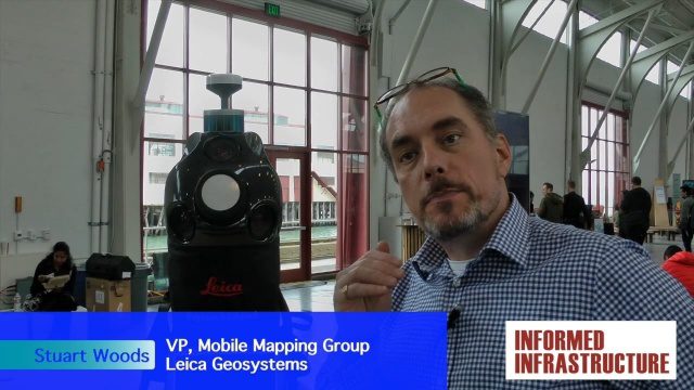
The V1 Video team interviewed Stuart Woods, VP, Mobile Mapping Group, Leica Geospatial, at the REAL 2016 event in San Francisco. He discussed the future of digital surveying, increased mobility in a variety of technologies, how multiple sensors help get the job done, and the company's new Pegasus Backpack product.
Hexagon’s Schmidt Discusses Water Solutions
0 Views0 Comments0 Likes
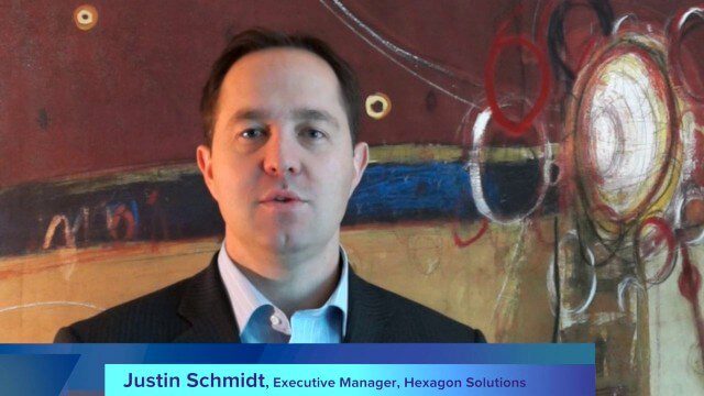
Todd Danielson interviews Justin Schmidt, Executive Manager, Hexagon Solutions, at the HxGN LIVE event in Las Vegas, Nevada. They discuss the Hexagon Smart H2O Solution (the foundation for Hexagon Solutions), complete water systems and their challenges, dam monitoring and failures, and more.
IMAGINiT Helps Clients through Entire Workflow
0 Views0 Comments0 Likes
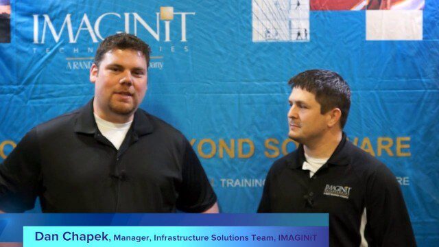
Todd Danielson interviews Dan Chapek, Manager, Infrastructure Solutions Team, IMAGINiT, and Jeff Bowers, Consultant, Business Solutions, IMAGINiT, at the HxGN LIVE event in Las Vegas, Nevada. They discuss how to integrate scanning data into design applications to create client deliverables, how the company partners with Leica Geosystems and Autodesk products, "field to finish" workflows, and more.
Ron Roth and Anders Ekelund Interview
0 Views0 Comments0 Likes
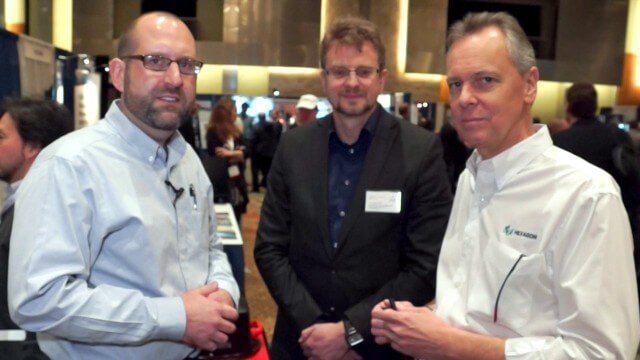
Matt Ball interviews Ron Roth, product manager, Airborne LiDAR, Leica Geosystems, and Anders Ekelund, managing director, Airborne Hydrography AB. They discuss Leica's acquisition of Airborne Hydrography AB and the bathymetric products the company creates, including its Chiroptera system.


