
Tag: interview

Richard Humphrey Autodesk Interview (Short Version)
4.19K Views0 Comments0 Likes
In this condensed version, Todd Danielson interviews Richard Humphrey, senior director, Infrastructure Products, Autodesk. They discuss how technology can help "bridge the gaps" in infrastructure spending, simulation services, and large-scale modeling.

Richard Humphrey Interview (Full-Length Version)
4.34K Views0 Comments0 Likes
Todd Danielson interviews Richard Humphrey, senior director, Infrastructure & Collaboration Products, Autodesk. They discuss how technology can help "bridge the gaps" in infrastructure spending, the Autodesk infrastructure product suite, simulation services, information unification, rules-based design platforms, large-scale modeling, and Autodesk's ReCap product.

Esri’s Director of Solutions Discusses Apps, Simplicity and Passion
7.55K Views0 Comments0 Likes
Todd Danielson interviews Damian Spangrud, Director of Solutions, Esri, at the 2014 Esri User Conference in San Diego. They discuss what it's like working at Esri, the tools needed to create a public-facing GIS app and "never underestimating how simple things need to be."

Kleinfelder Interview – Bill Siegel, CEO
5.11K Views0 Comments0 Likes
Informed Infrastructure spoke with Bill Siegel, CEO of Kleinfelder, at the opening of the company’s new office in downtown Denver. The conversation touched on the company’s growth through the recession, the trend toward mega-mergers in the AEC industry, and the need to address aging infrastructure.
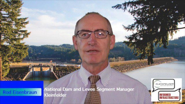
Kleinfelder Interview – Rod Eisenbraun, National Dam and Levee Segment Manager
10.78K Views2 Comments0 Likes
Informed Infrastructure spoke with Rod Eisenbraun, national dam and levee segment manager, at the opening of Kleinfelder’s new office in downtown Denver. The conversation covered dam creation and rehabilitation, the need for more storage with increasing droughts, the more environmentally friendly approaches these days, and hydro power as a clean power source.

RIEGL Creating 3D Data for Improved Disaster Response
2.09K Views0 Comments0 Likes
The V1 Video team interviewed James Van Rens, CEO of RIEGL USA, at the 2015 Esri User Conference in San Diego. We spoke at the 3D Mapping Forum, focusing on the need to map the shoreline for improved disaster response. The company also showcased its new RiCOPTER mapping drone.

Pictometry Developing 3D Models for Infrastructure Market
2.62K Views0 Comments0 Likes
The V1 Video team interviewed Jim Murray, Regional VP for Infrastructure at Pictometry (an EagleView company), at the 2015 Esri User Conference in San Diego. We spoke about the unique characteristics of high-resolution oblique imagery from Pictometry and an emerging ability to create detailed 3D models with oblique imagery data draped on buildings for a photorealistic model.

LizardTech Combining LiDAR Point Cloud and Image Compression
3.70K Views0 Comments0 Likes
The V1 Video team interviewed Jeff Young, Manager of Regional and International Sales for LizardTech, at the 2015 Esri User Conference in San Diego. The company launched the 9.5 release of its GeoExpress software, which combines image and LiDAR compression technology. The latest tools add automation for color balancing and indexing images.
Hybrid VTOL Drone Eases Takeoff and Landing
2.75K Views0 Comments0 Likes
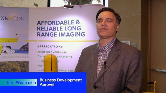
The V1 Video team interviewed Eric Westreich, who works on Business Development at Aerovel, at the 2015 Esri User Conference in San Diego. We spoke about the unique Aerovel Flexrotor hybrid-electric vertical takeoff and landing (VTOL) craft that can take off and land vertically, rotating its flight to cover more ground and takeoff from a moving platform. The Aerovel Flexrotor comes from a marine legacy, where runways aren’t possible other than on an aircraft carrier.

Creating 3D Models from Drone Imagery
2.76K Views0 Comments0 Likes
The V1 Video team interviewed Antoine Martin, Business Manager of Pix4D’s operations in the United States, at the 2015 Esri User Conference in San Diego. We spoke about the growing interest in creating useful data from drone platforms as well as the many use cases for Pix4Dmapper software for automated image processing. The company has focused on the simplification of photogrammetric science to enable users to create accurate maps and 3D models from this imagery.


