Tag: imagery
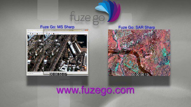
Fuze Go Commercial
0 Views0 Comments0 Likes
We created this commercial for Fuze Go, where it's running on the company's Web site at www.fuzego.com.
Patrick Collins Interview
0 Views0 Comments0 Likes
Matt Ball interviews Patrick Collins, Technical Solutions Engineer, Exelis Visual Information Solutions. They discuss the increasing size of LiDAR data and the tools to handle such volume as well as the variety of ways image data can be analyzed, including automated feature extraction.
Ron Roth and Anders Ekelund Interview
0 Views0 Comments0 Likes
Matt Ball interviews Ron Roth, product manager, Airborne LiDAR, Leica Geosystems, and Anders Ekelund, managing director, Airborne Hydrography AB. They discuss Leica's acquisition of Airborne Hydrography AB and the bathymetric products the company creates, including its Chiroptera system.
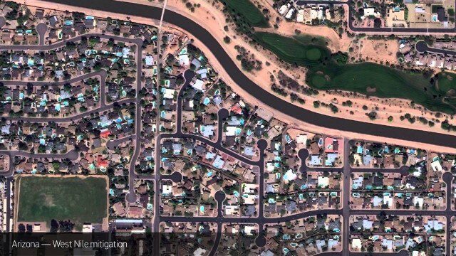
Satellite Imagery to Catch Environmental Changes
0 Views0 Comments0 Likes
How governments are using high-resolution satellite imagery to catch environmental issues before they become health hazards - and EPA fines.
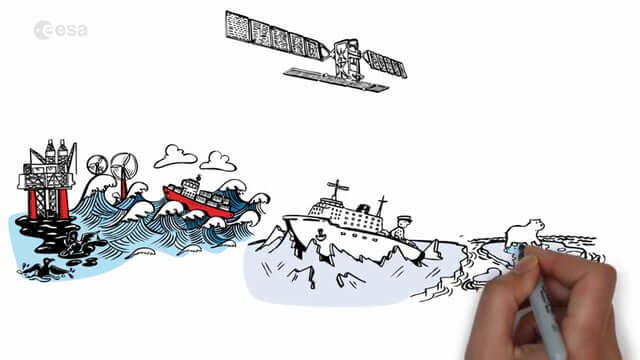
Satellite Radar Vision Whiteboard
0 Views0 Comments0 Likes
Discover how the European Space Agency Sentinel-1 mission uses its radar to provide an all-weather, day-and-night supply of imagery of Earth’s surface to make our lives safer.

