Tag: Esri
What Is the Geodesign Summit?
0 Views6 Comments0 Likes
Esri's annual Geodesign Summit has been a key element in moving the geodesign movement forward. This video from GeoSpatial Stream summarizes some of the important geodesign concepts as well as how Esri's conference informs and motivates those interested in designing a better and smarter built environment.
Esri’s Geotrigger Service Explained
0 Views1 Comments0 Likes
Matt Ball spoke with Amber Case, director of Esri's R&D Center in Portland, at the Local Data Summit in Denver on Feb. 25, 2014. The conversation ranges from accessible geospatial technology, the ubiquity of mobile devices, and the connections that are made with location awareness and location-based alerts.
Jack Dangermond Discusses Large Enterprise Adoption of GIS and the Role of Apps (2 of 4)
0 Views0 Comments0 Likes
In the second of four installments, Todd Danielson interviews Jack Dangermond, President and Founder, Esri, at the 2014 Esri User Conference in San Diego. Jack notes how large enterprises are increasingly using GIS, such as Starbucks, Walgreens and the Port of Rotterdam, among others. He also discusses the growing geographical user interface and the role of apps in the marketplace.
9_27 Climate Change Broadcast (Latest Data, Satellite Launches and More)
0 Views0 Comments0 Likes
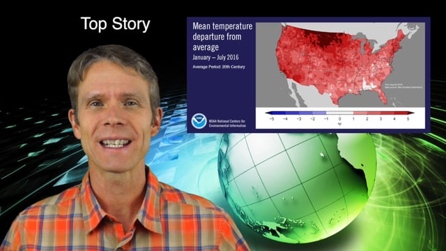
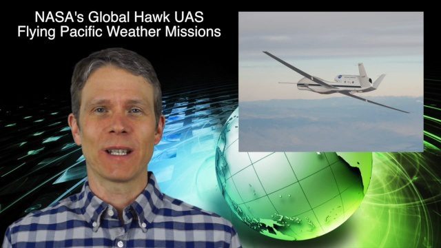
This GeoSpatial Stream looks at the latest data on climate change from NOAA and NASA, including more record temperatures, flooding and shrinking sea ice; new satellites from Google's Terra Bella and Peru; Esri's new way of measuring oceans: the EMU; industry news from Phase One Industrial, TerraGo, Datumate and Satlab Geosolutions; a video of drone imaging for ESA's deep-space tracking system; and more.
6_30 Drones and GIS Broadcast (FAA Rule, Esri UC and More)
0 Views0 Comments0 Likes
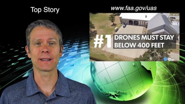
This GeoSpatial Stream broadcast discusses the landmark FAA Rule Part 107 for small UASs/UAVs/drones and its effect on the U.S. economy; highlights from the 37th Esri User Conference in San Diego; industry news from SmarterBetterCities, Trimble, Cadcorp and Esri; an Esri video that opened the recent UC; and more.
2_25 Earth Imaging Broadcast (Sentinel Launch, Smallsats and More)
0 Views0 Comments0 Likes
This Earth Imaging-themed GeoSpatial Stream broadcast discusses the recently launched Sentinel-3A Earth-monitoring satellite; a smallsat/cubesat video created by the European Space Agency; NASA UAS/drone news; industry news from Esri, SimActive, Teledyne Optech and Riegl; a funny mapping video from the University of Kentucky's New Maps Plus online education program; and more.
7_30 Asia-Pacific Broadcast (Deforestation, Beijing Smog and More)
0 Views0 Comments0 Likes
This Asia-Pacific-focused GeoSpatial Stream broadcast discusses deforestation in Indonesia; IBM joining Beijing's fight against smog; Asian effects on mobile-device charging; Pakistan's move toward space technology; satellite imagery use in Australian vineyards; industry news from Spatial Dimensions, ScanEx, Maptek and Esri; geospatial insight into Indonesian politics; and more.
Esri’s Director of Solutions Discusses Apps, Simplicity and Passion
0 Views0 Comments0 Likes
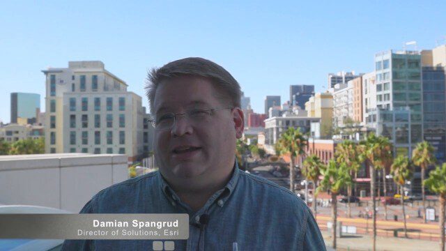
Todd Danielson interviews Damian Spangrud, Director of Solutions, Esri, at the 2014 Esri User Conference in San Diego. They discuss what it's like working at Esri, the tools needed to create a public-facing GIS app and "never underestimating how simple things need to be."
7_23 Esri UC Broadcast (Video Recap, Exhibitor News and More)
0 Views0 Comments0 Likes
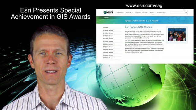
This GeoSpatial Stream broadcast covers news and events from the recent Esri User Conference in San Diego, including a video recap of speakers and topics; news from Esri on the Special Achievement in GIS Awards, its Tapestry Segmentation system and a partnership with European Schoolnet; exhibitor news from Topcon Positioning Group, Airbus Defense and Space, LizardTech and Scene Sharp; a clip from an interview with Jack Dangermond, Esri's president and founder; and more.

