


Category: Found on the Internet
Everything that Happens, Happens Somewhere
1.72K Views0 Comments0 Likes
As our planet is becoming more crowded, the demand for diminishing natural resources is growing. Income gaps are widening,and people are being left behind. Geographic location -- and information about these locations – shows us where social, environmental and economic conditions occur. Reliable and authoritative geographic information provides the framework for measuring, monitoring and achieving the sustainable development goals, improving people’s lives and protecting the planet. The United Nations initiative on Global Geospatial Information Management (UN-GGIM) aims at playing a leading role in setting the agenda for the development of global geospatial information and to promote its use to address key global challenges. It provides a forum to liaise and coordinate among Member States, and between Member States and international organizations.
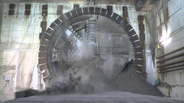
Crossrail Tunnelling: Drone’s Eye View of Crossrail’s Completed Rail Tunnels
1.94K Views0 Comments0 Likes
The Prime Minister and Mayor of London Boris Johnson celebrated the completion of Crossrail’s tunnels by going 40 metres below the capital to thank the men and women who are constructing the new £14.8 billion east-west railway.
The Algorithm Marketplace
2.55K Views0 Comments0 Likes
The Algorithm Marketplace provides automated analysis of aerial data acquired by UAVs (Unmanned Aerial Vehicles). Using sophisticated algorithms, drone operators no longer need a background in geographic information system (GIS) or remote sensing to interpret their aerial data; instead, the marketplace provides an action-based report to improve management of assets.

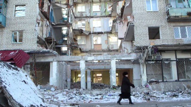
After Quake, Engineer in Khatmandu Describes What Fell Down, or Didn’t, and Why
5.19K Views0 Comments0 Likes
Kit Miyamoto, a structural engineer fresh from five years rebuilding Haiti, spoke with Andy Revkin of The New York Times Dot Earth blog after a day inspecting Kathmandu damage zones.
Achim Steiner – Eye on Earth Summit 2015
2.12K Views0 Comments0 Likes
Over 650 delegates from government, UN bodies, the non-governmental sector, private sector, academia and civil society will gather in Abu Dhabi between 6 and 8 October for the Eye on Earth Summit 2015. Learn more here: www.eoesummit.org
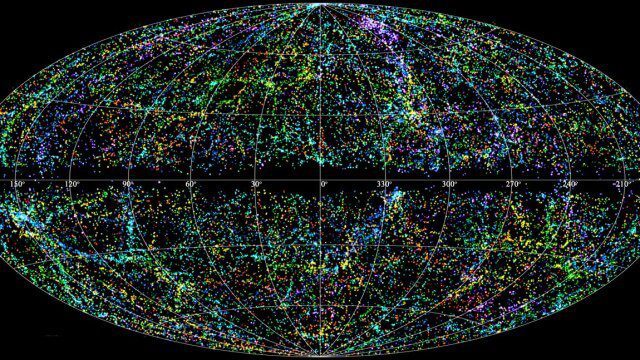
“Mapping the Universe” with Daniel Eisenstein
2.32K Views0 Comments0 Likes
Galaxies are not scattered randomly throughout the universe. Instead, they group into stringy filaments that span hundreds of millions of light-years. How did such structure evolve from the bland primordial soup that followed the Big Bang? New clues are coming from an ambitious mapping project, the Sloan Digital Sky Survey, which has measured the distance to galaxies halfway across the observable universe. Daniel Eisenstein is director of the Sloan Digital Sky Survey III (SDSS-III) and a member of the National Academy of Sciences.

Living History: The John Feathers Map Collection
2.43K Views0 Comments0 Likes
LAPL Map Librarian Glen Creason tells the tale of an amazing hidden map collection that doubled the library's archive in a single day. http://lareviewofbooks.org/av/
Ordnance Survey: Finding a Way
2.16K Views0 Comments0 Likes
Ordnance Survey is very proud to be introducing a refreshed visual identity. Take a look at how much we've changed in our 224 years.
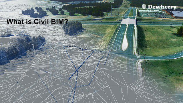
What is Civil BIM?
2.02K Views0 Comments0 Likes
Dewberry Civil Engineers Cody Pennetti and Meagan Judge, along with Senior Applications Specialist Cyndy Davenport, explain how site/civil engineers are using civil BIM to showcase complex information in a familiar way.
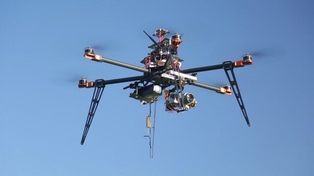
Drones for Aerial Survey and 3D Modelling Updated
2.20K Views0 Comments0 Likes
This video replaces an earlier upload demonstrating the extraction of 3D detail for buildings and/ or terrain from high resolution drone aerial photographs using photogrammetry and geo-referencing. This version includes high definition footage from a simulated autonomous circular aerial survey of an industrial asset, incorporating VidiAir's precision ground survey control points (significantly more accurate than Google Earth), EMF/ RF protection and laser range-finding with telemetry - an important consideration when flying in close proximity to structures/ obstacles, particularly in gusting winds.


