


Category: Found on the Internet
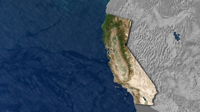
Open California: Our Data, Your Creativity
1.64K Views0 Comments0 Likes
We're releasing our growing California archive under an a CC BY-SA license. Join our community of image analysts, scientists, developers, and researchers: https://www.planet.com/open-california/
ACEC Colorado Award Winner: Data Fusion Predicts Habitat Quality
1.65K Views0 Comments0 Likes
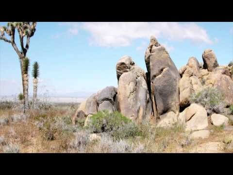
Edwards Air Force Base is located in California’s Mojave Desert, which is home to unique and threatened species such as the desert tortoise, the Joshua tree and desert springparsley. The Air Force monitors impacts of its operations on habitats using multispectral satellite imagery and traditional aerial and field approaches. Hyperspectral imagery and Light Detection and Ranging (LiDAR) remotesensing technologies are being used as more cost-effective methods to collect and analyze spatial data related to habitat quality. Merrick & Company, the primary mapping consultant, was responsible for overall technical implementation, aviation coordination, sensor integration, LiDAR acquisition and point cloud post-processing. Fusing and modeling discreet remotely sensed data from several digital sensors is used to assess habitat quality for inventory and preservation of unique desert species, enabling systematic comparisons to be made over time for effective management of the desert ecosystem. The data also helps to substantiate that operations on Edwards Air Force Base do not degrade habitat quality that may result in the loss of sensitive species in the region.
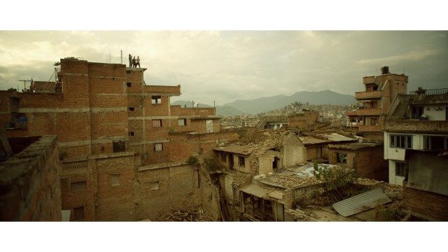
Crisis Mapping in Nepal
1.87K Views0 Comments0 Likes
On the 25th of April, Nepal was hit by the worst earthquake the small, mountainous country had ever seen. Leaving thousands dead and hundreds of thousands displaced, the Ghorka Earthquake as it would become known, uprooted not only cities and villages, but homes and families that had existed in the mountains for centuries. So what could we do to help? Teaming up with with Humanitarian UAV Network “UAViators”, Open Street Map specialists “Kathmandu Living Labs”, 3D Mapping organization, “Pix4D”, smartphone manufacturer “Smartisan” and Kathmandu University, DJI got to work on a plan, a plan that drew together some of the best and brightest of the UAV industry for a life-changing experience.
Can the Next Generation of Satellites Help Predict and Battle Wildfires?
1.82K Views0 Comments0 Likes
Re/code visits NASA's Silicon Valley research center, where a pair of startups are working together to democratize satellite data. Aquila Space is building a fleet of satellites while its partner Astro Digital is developing software tools that allow anyone to process and analyze the data. Among other things, the information could be used to help inform policy and responses for ecological disasters, including the droughts and wildfires plaguing California.
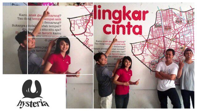
Story of Hysteria, Ushahidi Chapter on Semarang
1.80K Views0 Comments0 Likes
How an artist collective in Semarang, Indonesia is using Ushahidi to improve citizen participation in government and reshaping our mission.
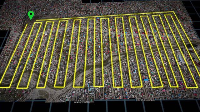
UAV-Based Aerial Mapping of Ulaanbaatar
1.81K Views0 Comments0 Likes
Working with the City of Ulaanbaatar, The Asia Foundation collected high-quality imagery and elevation data for the city using Unmanned Aerial Vehicles (UAVs) and earth-imaging satellites. These high-resolution images were used to create detailed maps complete with elevation data; labeled neighborhoods, roads, buildings, landmarks, and other features.
ASPECT: Flying for First Responders
2.15K Views0 Comments0 Likes
EPA's Airborne Spectral Photometric Environmental Collection Technology (ASPECT) provides infrared and photographic images with geospatial, chemical and radiological information within minutes to the first responder.
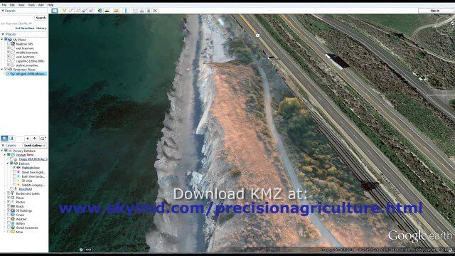
Santa Barbara Refugio Oil Spill in 3D Using Canon Camera
1.78K Views0 Comments0 Likes
Santa Barbara Refugio Beach Oil Spill, May 20-21, 2015. While flying precision agriculture grapes Sky Imaging Mapping Data diverted to Santa Barbara. On arrival the entire area was imaged from 12-1500 feet above the ocean. Post flight the imagery was processed into 3D models and overlaid on Google Earth for easy browsing (waves look jagged).
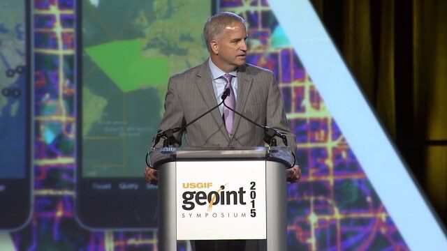
Robert Cardillo, NGA Director – Keynote Full Presentation | GEOINT 2015
3.53K Views0 Comments0 Likes
USGIF's Trajectory On Location published this video of the keynote presentation delivered by Robert Cardillo, director of the National Geospatial-Intelligence Agency, at the GEOINT Symposium 2015.
Translating Airborne Electromagnetic Data into Geological Understanding
1.61K Views0 Comments0 Likes
In this Geoscience Australia Snapshot video, Dr Ian Roach from Geoscience Australia gives an overview of the benefits of using airborne electromagnetic (AEM) survey data. This survey technique is a key tool for mapping geology undercover and has potential implications for understanding the energy, minerals and regional geology of the survey area.


