


Category: Daily Digests
11_30 Bentley London Broadcast (Event Highlights, Commentary and More)
2.98K Views0 Comments0 Likes
This Infrastructure-themed GeoSpatial Stream broadcast reports from the Bentley Systems Year In Infrastructure 2015 event in London, presenting video highlights; special commentary and opinion; and top news from Bentley and the conference.
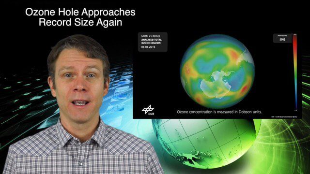
11_12 Climate Change Broadcast (Free Training, Ozone Hole and More)
6.21K Views0 Comments0 Likes
This GeoSpatial Stream broadcast discusses several issues related to climate change, including a new free course that discusses how to use Earth observation satellites to monitor climate change; the growing ozone hole over Antarctica; a study suggesting more flooding and droughts for California; industry news from TerraGo, Esri, Microsoft, Blue Marble and SimActive; video of humanitarian UAV training in Nepal; and more.

10_15 Earth Imaging Broadcast (Hurricanes, Wildfire Mapping and More)
7.27K Views0 Comments0 Likes
This Earth Imaging-themed GeoSpatial Stream broadcast discusses satellite imagery used to track and understand hurricanes, including the Atlantic's Joaquin and the Pacific's triplet hurricanes of Kilo, Ignacio and Jimena; remote sensing used to map and characterize capuchin monkey habitat; a Re/Code video news story about smallsats helping with wildfires; industry news from MDA, Blue Water Satellite, NASA and Esri; clips from a V1 Media video interview of Patrick Meier, founder of the Humanitarian UAV Network; and more.
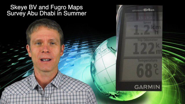
10_8 Asia Pacific Broadcast (New Satellites and Rockets, Mumbai Mapping and More)
3.16K Views0 Comments0 Likes
This Asia Pacific-themed GeoSpatial Stream broadcast covers several new satellites and rockets launched from Asia, including China's Pujian-1 and 20th Beidou satellites, a new Chinese Long March-6 rocket, imagery from China's TripleSat Constellation, and the Indian Space Research Organization launching another PSLV rocket carrying ASTRONAUT and six foreign satellites; Mumbai students mapping the Mithi River; Japanese scientists using laser scanning to study ancient tombs; industry news from Esri, Miyamoto International, Intergraph, Skeye BV and Fugro Maps; clips from a video about Ushahidi mapping in Semarang, Indonesia; and more.
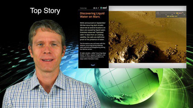
10_1 Science Broadcast (Mars Water, Neutrino and Tree Maps, and More)
2.92K Views0 Comments0 Likes
This GeoSpatial Stream broadcast discusses several intersections of science and geospatial technology, including NASA's announcement that Mars has liquid water; a map showing Earth's neutrinos; a video showing how scientists estimated the number of trees on Earth; industry news from exactEarth, US Topo maps, Teledyne Optech and Intergraph Government Solutions; opinions on the impact of the news from Mars; and more.
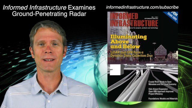
9_24 Infrastructure Broadcast (Federal Initiatives, Ground-Penetrating Radar and More)
12.57K Views0 Comments0 Likes
This Infrastructure-themed GeoSpatial Stream broadcast discusses U.S. federal government action to accelerate infrastructure projects; ground-penetrating radar featured in Informed Infrastructure magazine; industry news from Autodesk, Topcon Positioning Group, Esri, 3D Laser Mapping and RIEGL; a video showing how UAVs are being used to map Mongolian infrastructure; and more.
9_17 Europe Broadcast (INTERGEO, Market Reports and More)
2.93K Views0 Comments0 Likes
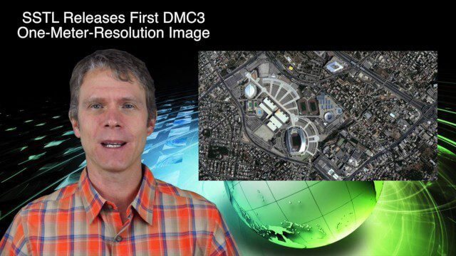
This European-themed GeoSpatial Stream broadcast discusses the INTERGEO conference in Stuttgart, Germany; a market report on the European Earth-observation industry; EU flood-disaster simulations using UAS technology; an OGC smart city pilot project; industry news from Surrey Satellite Technology, Euroconsult, PCI Geomatics, Applanix and Intergraph; and more.
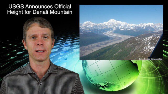
9_3 Environment Broadcast (Ocean Monitoring, Habitat Protection, Denali and More)
3.56K Views0 Comments0 Likes
This GeoSpatial Stream broadcast discusses ocean monitoring by the European Commission's NeXOS project; ocean-habitat monitoring off of Costa Rica, with the help of DigitalGlobe satellite imagery; a new official height for Denali Mountain; industry news from Trimble, Spatial Dimension, TerraGo, Esri, FlightAware and SimActive; a video from the EPA; and more.
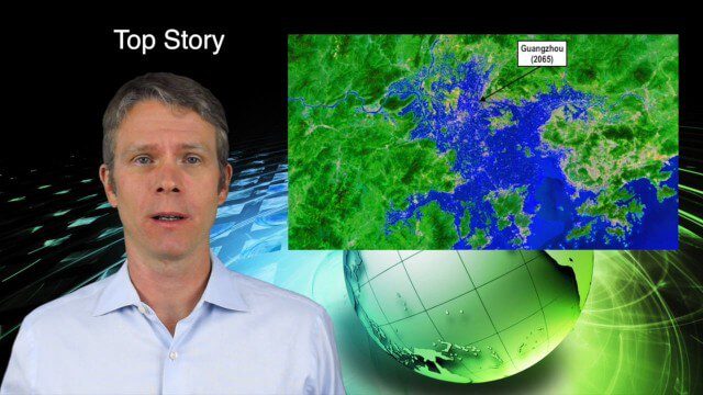
8_27 Asia-Pacific Broadcast (Rising Seas, Pollution, Drones and More)
3.49K Views0 Comments0 Likes
This Asia-Pacific-themed GeoSpatial Stream broadcast discusses rising sea levels in coastal cities; decreased air pollution in the Middle East; Australian researchers using drones to track wildlife; images of Typhoon Goni over Japan; industry news from Esri, Abu Dhabi, Korea Aerospace Research and Maptek; thoughts on urban population explosions in China and personal travel experiences; and more.

8_20 Infrastructure Broadcast (Smart Cities, Nepal Recovery and More)
3.81K Views0 Comments0 Likes
This Infrastructure-themed GeoSpatial Stream broadcast discusses Smart Cities initiatives and reports to help urban areas become more sustainable and livable; updates from engineers concerning Nepal's earthquake recovery; industry news from Topcon Positioning Group, Woolpert, gViz and IMAGINiT; thoughts on the growing Smart Cities industry; and more.


