
tdanielson / Added Videos
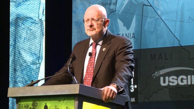
GEOINT Keynote: James Clapper, Director of National Intelligence (Part 1)
2.83K Views0 Comments0 Likes
Part 1 of the GEOINT Symposium keynote address from James Clapper, Director of National Intelligence.

Rainwater Modeling in Rotterdam
1.69K Views0 Comments0 Likes
On the Benthemsquare in Rotterdam the worlds first water square will be realised, an attractive city plaza that offers space for water, sports and greenery. The water square combines water storage with the improvement of the quality of urban public space. The animation was made by Studio Analoog.
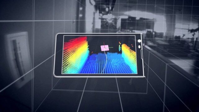
Google’s Project Tango
2.62K Views0 Comments0 Likes
Project Tango is an exploration into giving mobile devices a human-scale understanding of space and motion.
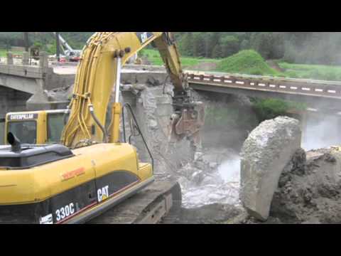
Transportation Asset Management
1.77K Views0 Comments0 Likes
Asset management is a strategic and systematic approach for managing transportation assets over their whole life. Asset management helps ensure that available funding addresses our highest priorities.

4_14 Infrastructure Broadcast (Transportation Asset Management, Water Infrastructure Needs, and More)
3.51K Views0 Comments0 Likes
This infrastructure-focused GeoSpatial Stream broadcast discusses Transportation Asset Management; a report on water infrastructure; designs to protect against hurricanes; public-transit ridership; historical map archives; private infrastructure funding; news from Bluesky and Bentley Systems; rainwater-capturing infrastructure in Rotterdam, The Netherlands; and more.

NASA/JAXA GMI Sensor for Precipitation Measurement
3.14K Views0 Comments0 Likes
On March 10, the Core Observatory passed over an extra-tropical cyclone On March 10, the Core Observatory passed over an extra-tropical cyclone about 1055 miles (1700 kilometers) due east of Japan's Honshu Island. Satellite data shows the full range of precipitation in the storm.

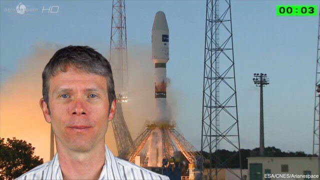
4_10 GEOINT Broadcast (Special Ops Data, New Weather Satellite, GPS III and More)
4.35K Views0 Comments0 Likes
This GeoSpatial Stream broadcast discusses geospatial intelligence, its legacy and the upcoming GEOINT Symposium; a recently launched U.S. military weather satellite; GPS III developments; industry news from Headwall, Thermopylae Sciences and Technology, Trimble, Esri, DigitalGlobe, and Riegl; and more.
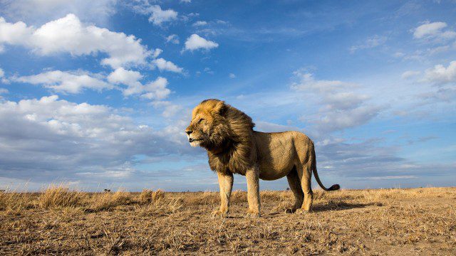
BeetleCam Project
2.08K Views0 Comments0 Likes
New video footage from BeetleCam in the Serengeti, plus announcing the new BeetleCam Hybrid!
4_8 Precision-Agriculture Broadcast (Food and Fluorescence, Sentinel Launch, and More)
4.05K Views0 Comments0 Likes
This GeoSpatial Stream broadcast discusses how food production can be tracked via satellites; the launch of Sentinel-1A; maps of extractive industries and agriculture in Peru and Ghana; a satellite competition; industry news from URISA, Ordnance Survey, Open Geospatial Consortium and Leica Geosystems; and more.
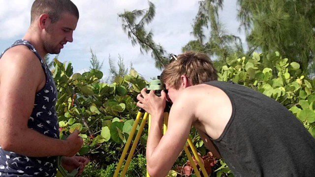
Surveying, Mapping and GIS Expedition to British Virgin Islands
1.81K Views0 Comments0 Likes
Surveying, Mapping and GIS Expedition to British Virgin Islands


