
tdanielson / Added Videos
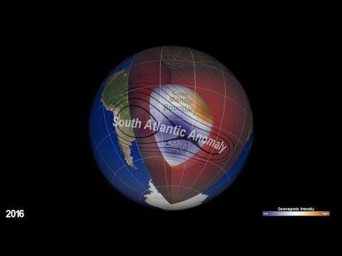
NASA Explores Earth’s Magnetic ‘Dent’
1.26K Views0 Comments0 Likes
Earth’s magnetic field acts like a protective shield around the planet, repelling and trapping charged particles from the Sun. But over South America and the southern Atlantic Ocean, an unusually weak spot in the field – called the South Atlantic Anomaly, or SAA – allows these particles to dip closer to the surface than normal.
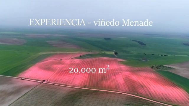
Agricultural Spraying Drone in Spain
661 Views0 Comments0 Likes
Due to heavy rain, the entry of motorized vehicles to the field was impossible, but thanks to HYBRiX technology, farmers in Rueda, Spain, were able to spray all their vid fields in one day of work obtaining the expected results.
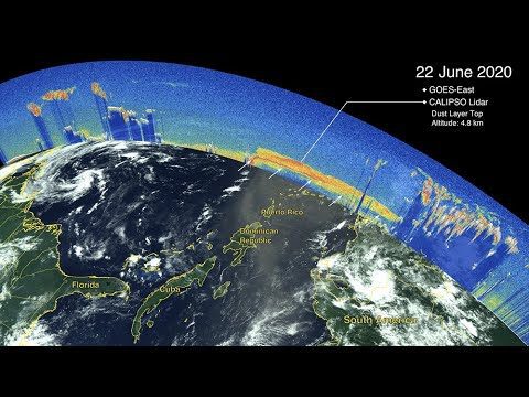
CALIPSO Observes Saharan Dust Transport
461 Views0 Comments0 Likes
The Cloud-Aerosol Lidar and Infrared Pathfinder Satellite Observations (CALIPSO) satellite—a joint venture between NASA and the French space agency, Centre National d'Etudes Spatiales (CNES)—observed the plume as it traveled across the ocean and eventually affected the mainland of the United States.
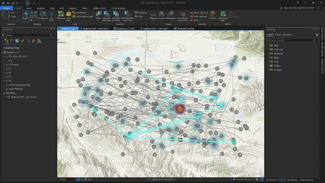
Community Contact Tracing Adds Power of Place to Contact Tracing for COVID-19
892 Views0 Comments0 Likes
By expanding the person-to-person approach, inherent in traditional contact tracing, to include person-to-person-to-place, public health analysts will be able to perform location analytics to illuminate the places where viral spread is happening outside of direct and prolonged contact between two individuals.
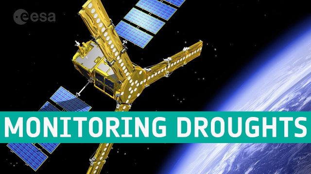
SMOS Monitoring Droughts
634 Views0 Comments0 Likes
With drought seemingly more commonplace, entrepreneurs are using information on soil moisture from SMOS and data from other satellites to generate commercial data products for the insurance market, ultimately bringing benefits to farmers.

AEC from Home: Tips from Leading Professionals Adjusting to Work During the COVID-19 Pandemic
533 Views0 Comments0 Likes
In May 2020, Informed Infrastructure Editorial Director Todd Danielson interviewed three leaders of AEC firms to learn how they’re adjusting to the “new normal” and help pass along some of the tips and lessons learned from their experiences in early 2020.
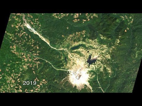
40 Years of Watching Mount St. Helens
668 Views0 Comments0 Likes
Both before and after the eruption, Landsat satellites were taking regular observations of the area, and their data is being used to study how forests recover from a very large disturbance.
Interview with Esri President Jack Dangermond
1.36K Views0 Comments0 Likes
In November 2019, Informed Infrastructure Editorial Director Todd Danielson interviewed Esri President Jack Dangermond at the Autodesk University (AU) Conference in Las Vegas.
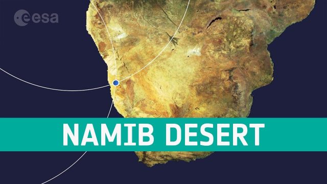
Earth from Space: Namib Desert
610 Views0 Comments0 Likes
The Copernicus Sentinel-2 mission takes us over part of the Namib Desert, considered the oldest desert on Earth, in this week's edition of the Earth from Space program.

Stanford Researchers Forecast Longer, More Extreme Wildfire Seasons
1.01K Views0 Comments0 Likes
Study finds that autumn days with extreme fire weather have more than doubled in California since the early 1980s due to climate change. The results could contribute to more effective risk mitigation, land management and resource allocation.


