Monthly Archives: June 2016
6_9 Earth Imaging Broadcast (Satellite Success, Asteroid Mining and More)
2.47K Views0 Comments0 Likes
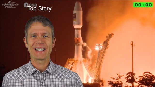
This Earth Imaging-themed GeoSpatial Stream broadcast discusses the recent streak of success at the European Space Agency, including its Sentinel and Galileo launches as well as a demonstration of the SpaceDataHighway; a NASA video about its North Atlantic Aerosols and Marine Ecosystems Study (NAAMES) mission; industry news from Merrick-Surdex Joint Venture, TerraGo, Earth-i, Teledyne Optech and Siteco Informatica; thoughts on asteroid mining and related benefits to Earth sensing; and more.
Hurricane Forecasts Rely on Modeling the Past
988 Views0 Comments0 Likes
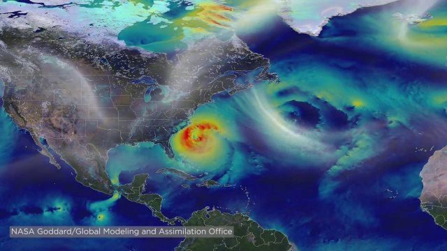
Improving hurricane forecasts means testing historical storms with today's sophisticated models and supercomputers. NASA and NOAA work together in gathering ground and satellite observations, as well as experimenting with research forecast models. As a result of this collaboration, model resolution has increased, and scientists are discovering more about the processes that occur within these powerful storms. The Global Precipitation Measurement (GPM) Mission is a joint NASA and Japan Aerospace Exploration Agency (JAXA) mission that measures all forms of precipitation around the globe. GPMs Microwave Imager, or GMI, has proven useful in seeing beneath the swirling clouds and into the structure of tropical cyclones. The information gathered by GPM and other missions will be used to improve forecast models.


